|
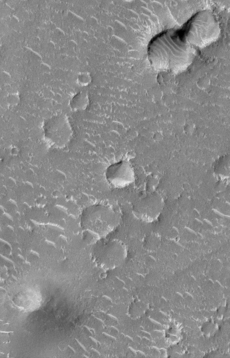
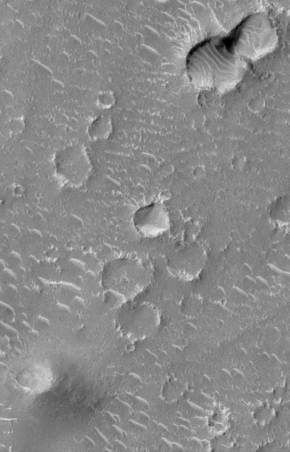
Craters and Bright Dunes of Isidis Planitia
- Click the image above for a larger view
- Full-Res JPEG (990 x 1540) (274.1 kB)
- Full-Res TIFF (990 x 1540) (1.4 MB)
Caption:
In this first week of Mars Global Surveyor (MGS) Mars Orbiter Camera (MOC) Mapping operations--i.e., early March 1999--seeing the red planet at 1.5 meters(5 feet) per pixel is quite a new and novel experience. This picture covers a 1.5 kilometer (0.9 miles) wide portion of Isidis Planitia. A person could walk across this scene in a matter of minutes. That person would encounter a variety of small, bright dunes that are perhaps only a few meters/yards high. Careful exploration would also show that the rims of the younger impact craters have rocks and boulders on them (e.g., see crater at center of the picture). Many more images of this quality and resolution lie ahead for MOC as it begins its 687-day Mapping mission. In this picture, the Sun's illumination is from the upper left.
Background Info:
Malin Space Science Systems and the California Institute of Technology built the MOC using spare hardware from the Mars Observer mission. MSSS operates the camera from its facilities in San Diego, CA. The Jet Propulsion Laboratory's Mars Surveyor Operations Project operates the Mars Global Surveyor spacecraft with its industrial partner, Lockheed Martin Astronautics, from facilities in Pasadena, CA and Denver, CO.
Cataloging Keywords:
| Name | Value | Additional Values |
|---|---|---|
| Target | Mars | |
| System | ||
| Target Type | Planet | |
| Mission | Mars Global Surveyor (MGS) | |
| Instrument Host | Mars Global Surveyor | |
| Host Type | Orbiter | |
| Instrument | Mars Orbiter Camera (MOC) | |
| Detector | ||
| Extra Keywords | Crater, Dune, Dust, Grayscale, Impact | |
| Acquisition Date | ||
| Release Date | 2000-09-16 | |
| Date in Caption | ||
| Image Credit | NASA/JPL/MSSS | |
| Source | photojournal.jpl.nasa.gov/catalog/PIA01678 | |
| Identifier | PIA01678 | |