
|
A Plateau in Ares Vallis
- Click the image above for a larger view
- Full-Res JPEG (2880 x 1800) (1.1 MB)
- Full-Res TIFF (2880 x 1800) (15.6 MB)
Caption:
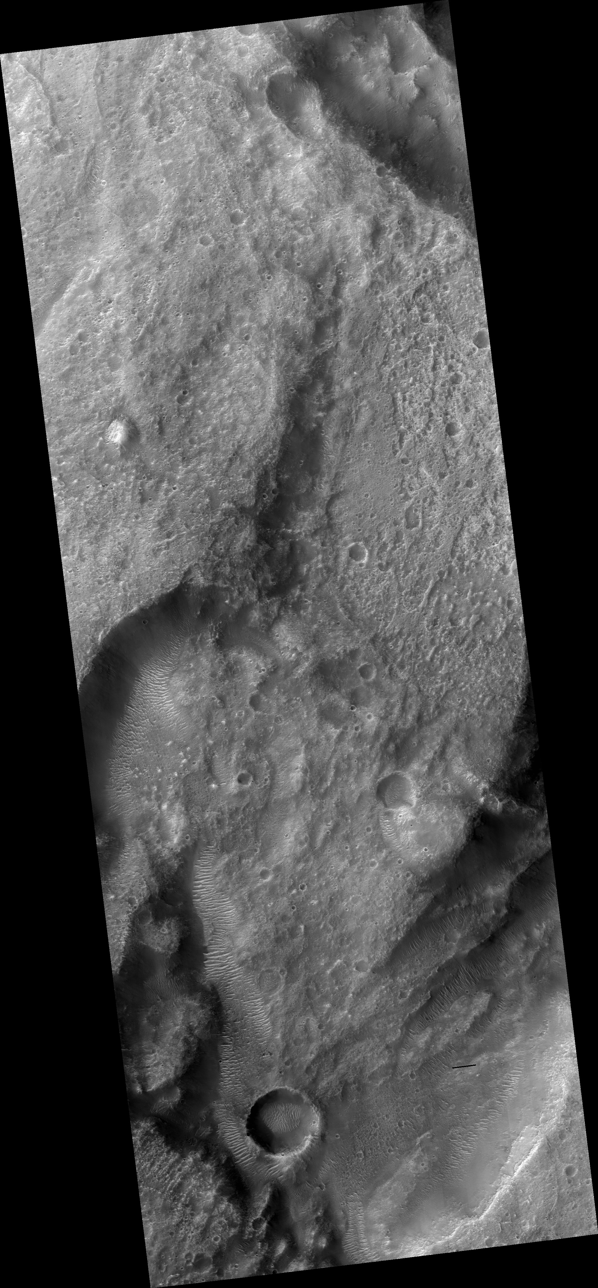
Map Projected Browse Image
Click on the image for larger version
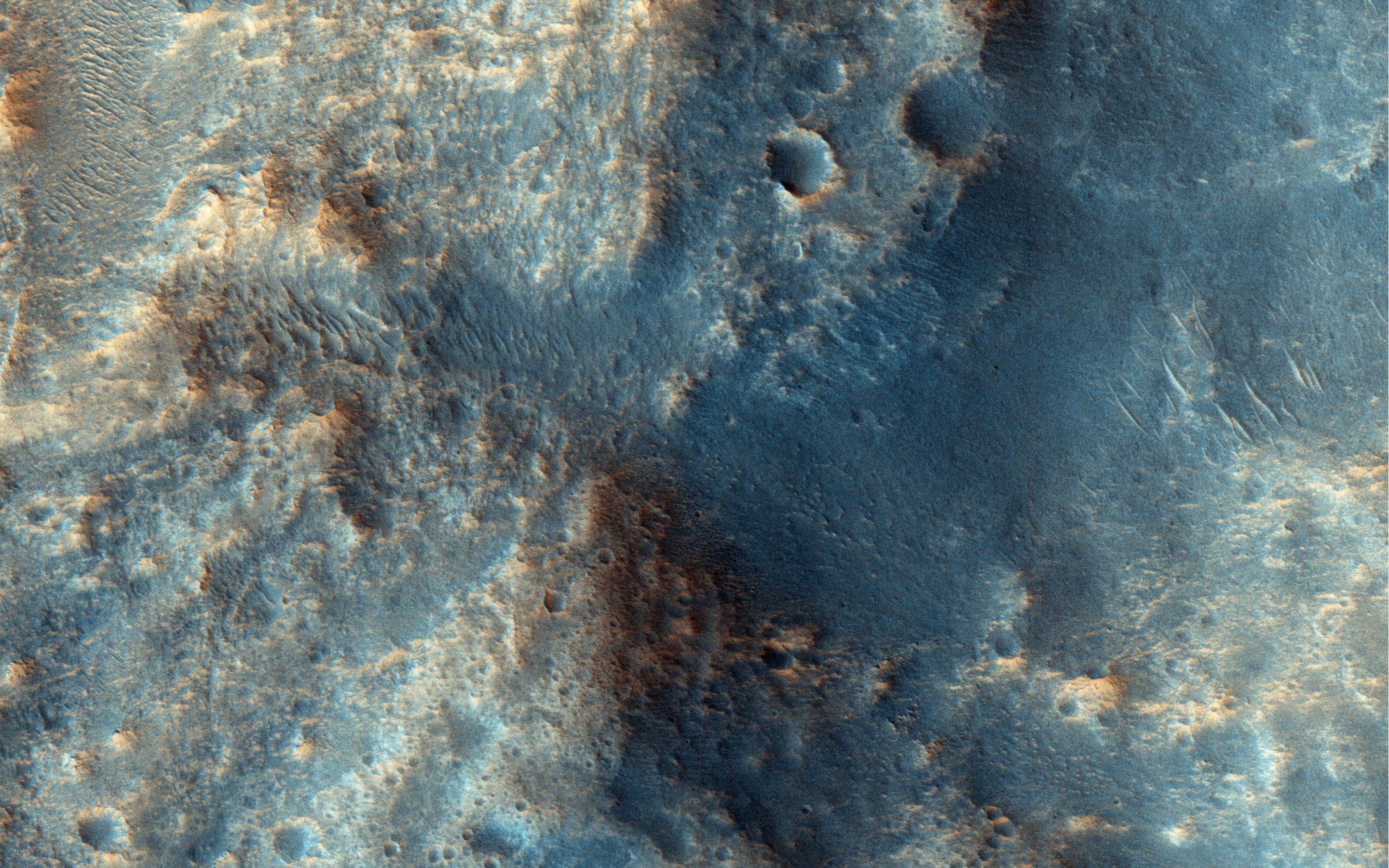
This channelized area is near the source region of the huge outflow channel, Ares Vallis. It was at the distal end or "long-ways down-river-area" where the Pathfinder/Sojourner mission landed on 4 July 1997.
This tiny region of Ares Vallis is on a plateau and did not contribute much to the overall water discharge. The slope downhill at the northeast edge of the image leads to the main channel.
Dune- and ripple-like transverse aeolian ridges (TARs) have since covered the bottom of the channels. These are oriented perpendicularly to the winds that must flow through these now-dry channels.
Background Info:
HiRISE is one of six instruments on NASA's Mars Reconnaissance Orbiter. The University of Arizona, Tucson, operates HiRISE, which was built by Ball Aerospace & Technologies Corp., Boulder, Colorado. NASA's Jet Propulsion Laboratory, a division of the California Institute of Technology in Pasadena, manages the Mars Reconnaissance Orbiter Project for NASA's Science Mission Directorate, Washington.
Cataloging Keywords:
| Name | Value | Additional Values |
|---|---|---|
| Target | Mars | |
| System | ||
| Target Type | Planet | |
| Mission | Mars Reconnaissance Orbiter (MRO) | |
| Instrument Host | Mars Reconnaissance Orbiter | |
| Host Type | Orbiter | |
| Instrument | High Resolution Imaging Science Experiment (HiRISE) | |
| Detector | ||
| Extra Keywords | Color, Dune, Map, Water | |
| Acquisition Date | ||
| Release Date | 2015-01-15 | |
| Date in Caption | 1997-07-04 | |
| Image Credit | NASA/JPL-Caltech/University of Arizona | |
| Source | photojournal.jpl.nasa.gov/catalog/PIA19130 | |
| Identifier | PIA19130 | |