
|
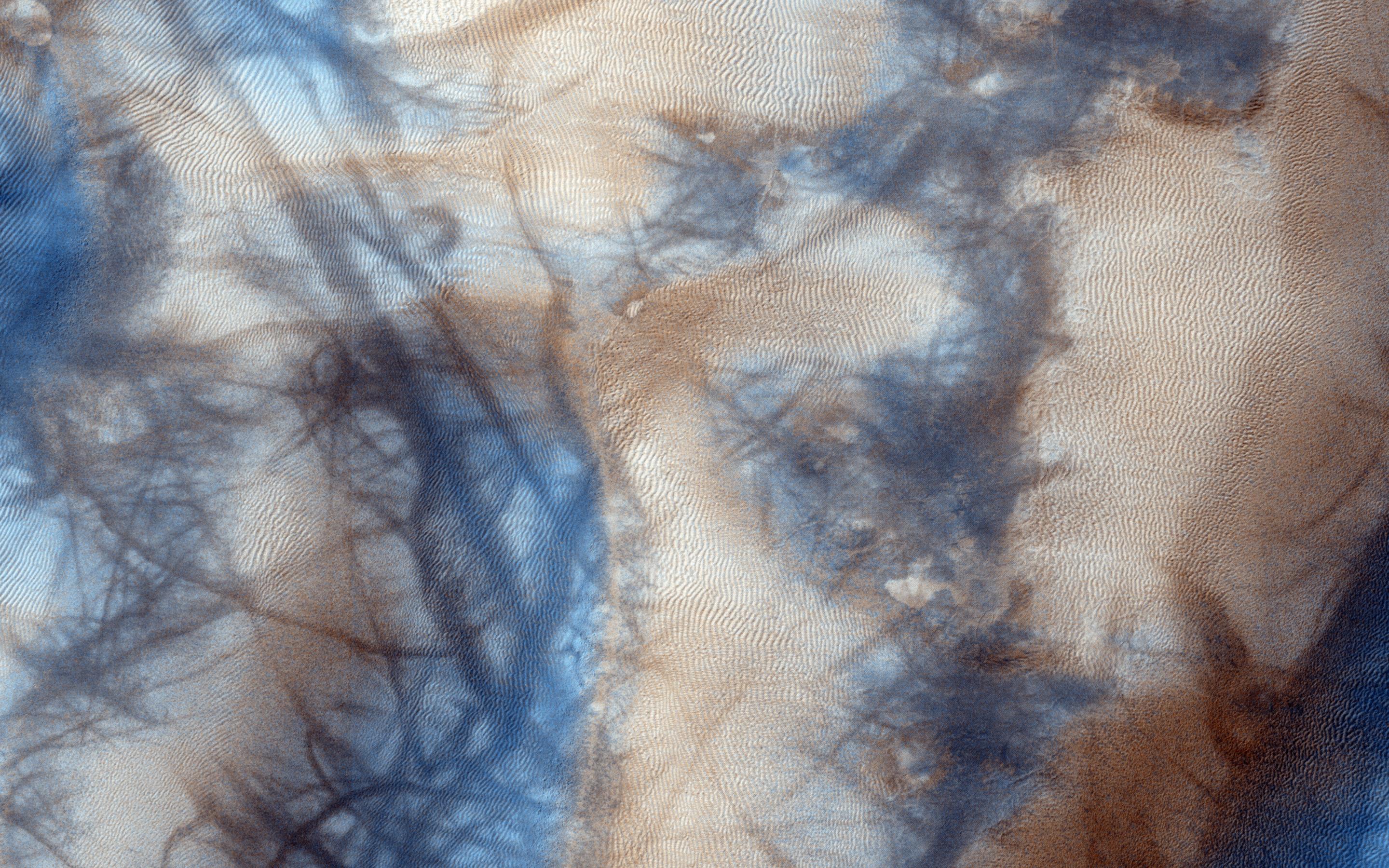
Active High-Latitude Dune-Gullies
- Click the image above for a larger view
- Full-Res JPEG (2880 x 1800) (1.0 MB)
- Full-Res TIFF (2880 x 1800) (15.6 MB)
Caption:
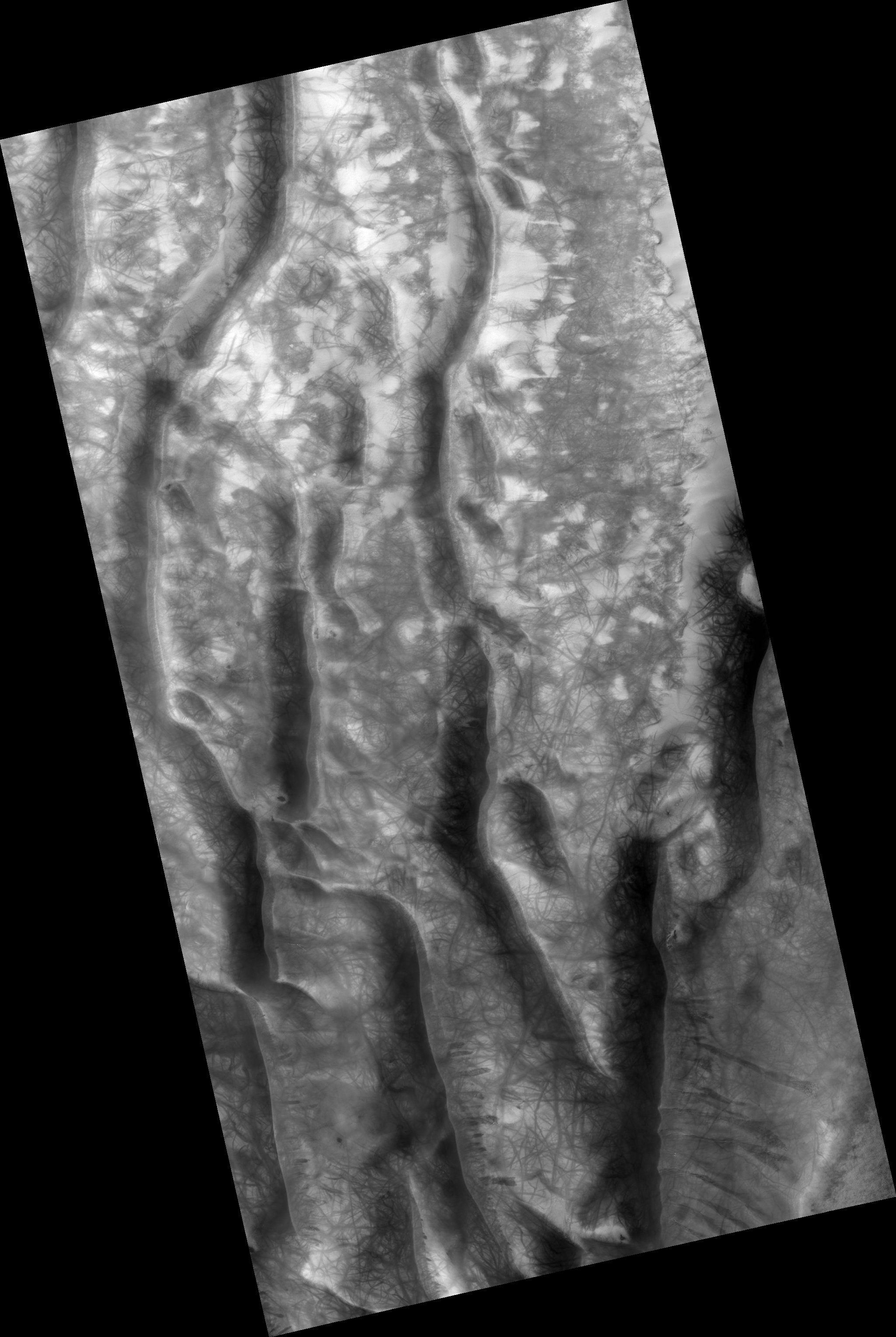
Map Projected Browse Image
Click on the image for larger version
Gully and defrosting activity have been visible here along the edge of a dune field, along with blocks of frost. Observations of the same area help us check for repeat activity, as well as measuring those meter-scale blocks that we've seen prior.
In this case, we want to compare any possible changes with a previous observation , which we acquired in 2011. We've also seen images where carbon dioxide frost was the driving process in creating new gullies , so we know their formation is occurring to this day. Tracking for changes, especially when we look at the 1-kilometer enhanced color swath, can help us find more.
This caption is based on the original science rationale.
Background Info:
The University of Arizona, Tucson, operates HiRISE, which was built by Ball Aerospace & Technologies Corp., Boulder, Colorado. NASA's Jet Propulsion Laboratory, a division of the California Institute of Technology in Pasadena, manages the Mars Reconnaissance Orbiter Project and Mars Science Laboratory Project for NASA's Science Mission Directorate, Washington.
Cataloging Keywords:
| Name | Value | Additional Values |
|---|---|---|
| Target | Mars | |
| System | ||
| Target Type | Planet | |
| Mission | Mars Reconnaissance Orbiter (MRO) | Mars Science Laboratory (MSL) |
| Instrument Host | Mars Reconnaissance Orbiter | Curiosity Rover |
| Host Type | Orbiter | Rover |
| Instrument | High Resolution Imaging Science Experiment (HiRISE) | |
| Detector | ||
| Extra Keywords | Color, Dune, Map | |
| Acquisition Date | ||
| Release Date | 2015-06-17 | |
| Date in Caption | ||
| Image Credit | NASA/JPL-Caltech/Univ. of Arizona | |
| Source | photojournal.jpl.nasa.gov/catalog/PIA19843 | |
| Identifier | PIA19843 | |