
|
Old Features and New
- Click the image above for a larger view
- Full-Res JPEG (2880 x 1800) (936.1 kB)
- Full-Res TIFF (2880 x 1800) (15.6 MB)
Caption:
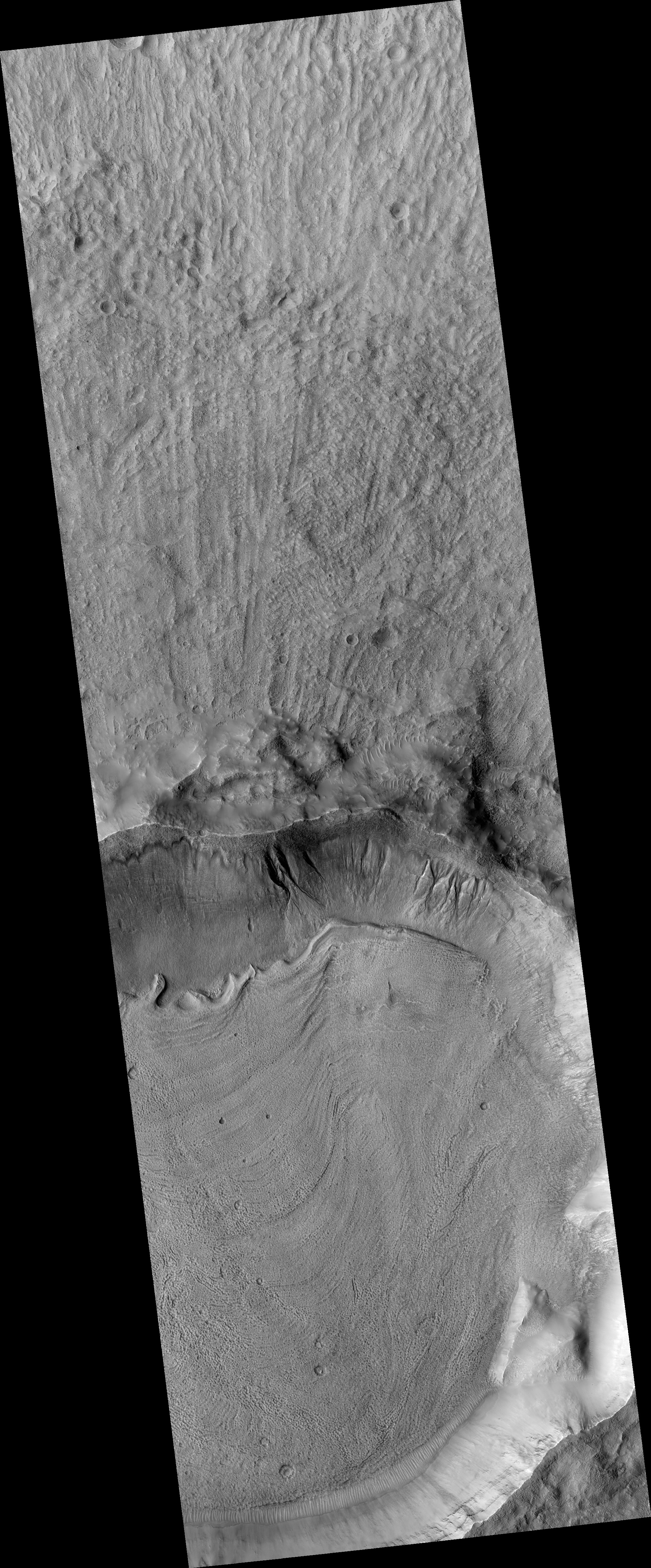
Map Projected Browse Image
Click on the image for larger version
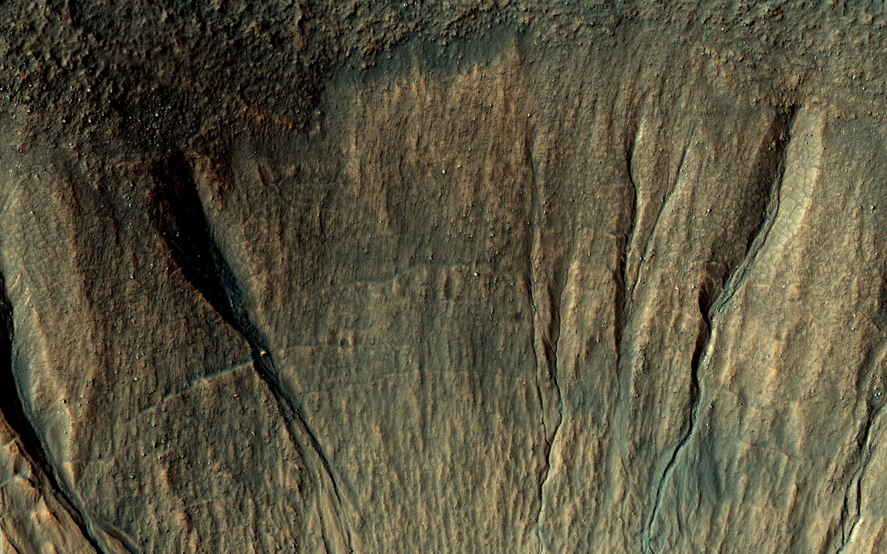
This image covers a portion of a typical impact crater in Terra Sirenum at about 40 degrees south latitude on Mars.
At the top of the image , outside the crater rim, there is a mid-latitude mantle, rough in places where ice may have sublimated. Below the crater rim, on the steep, south-facing slope, are gullies. These are erosional features with depositional fans. Some of the gully fans have a bluish color: these are probably quite recent deposits, less than a few tens of years old.
On the floor of the crater (bottom of this image) are ridges that likely formed from the flow of ice, perhaps a few million years ago.
The map is projected here at a scale of 50 centimeters (19.6 inches) per pixel. [The original image scale is 50.3 centimeters (19.8 inches) per pixel (with 2 x 2 binning); objects on the order of 151 centimeters (59 inches) across are resolved.] North is up.
Background Info:
The University of Arizona, Tucson, operates HiRISE, which was built by Ball Aerospace & Technologies Corp., Boulder, Colo. NASA's Jet Propulsion Laboratory, a division of Caltech in Pasadena, California, manages the Mars Reconnaissance Orbiter Project for NASA's Science Mission Directorate, Washington.
Cataloging Keywords:
| Name | Value | Additional Values |
|---|---|---|
| Target | Mars | |
| System | ||
| Target Type | Planet | |
| Mission | Mars Reconnaissance Orbiter (MRO) | |
| Instrument Host | Mars Reconnaissance Orbiter | |
| Host Type | Orbiter | |
| Instrument | High Resolution Imaging Science Experiment (HiRISE) | |
| Detector | ||
| Extra Keywords | Color, Crater, Impact, Map | |
| Acquisition Date | ||
| Release Date | 2017-02-14 | |
| Date in Caption | ||
| Image Credit | NASA/JPL-Caltech/Univ. of Arizona | |
| Source | photojournal.jpl.nasa.gov/catalog/PIA21456 | |
| Identifier | PIA21456 | |