|
Back-to-Back Martian Dust Storms
- Click the image above for a larger view
 Movie Download Options
- Full-Res JPEG (1400 x 787) (997.3 kB)
- Full-Res TIFF (1400 x 787) (1.1 MB)
Caption:

Click on the image for larger animation
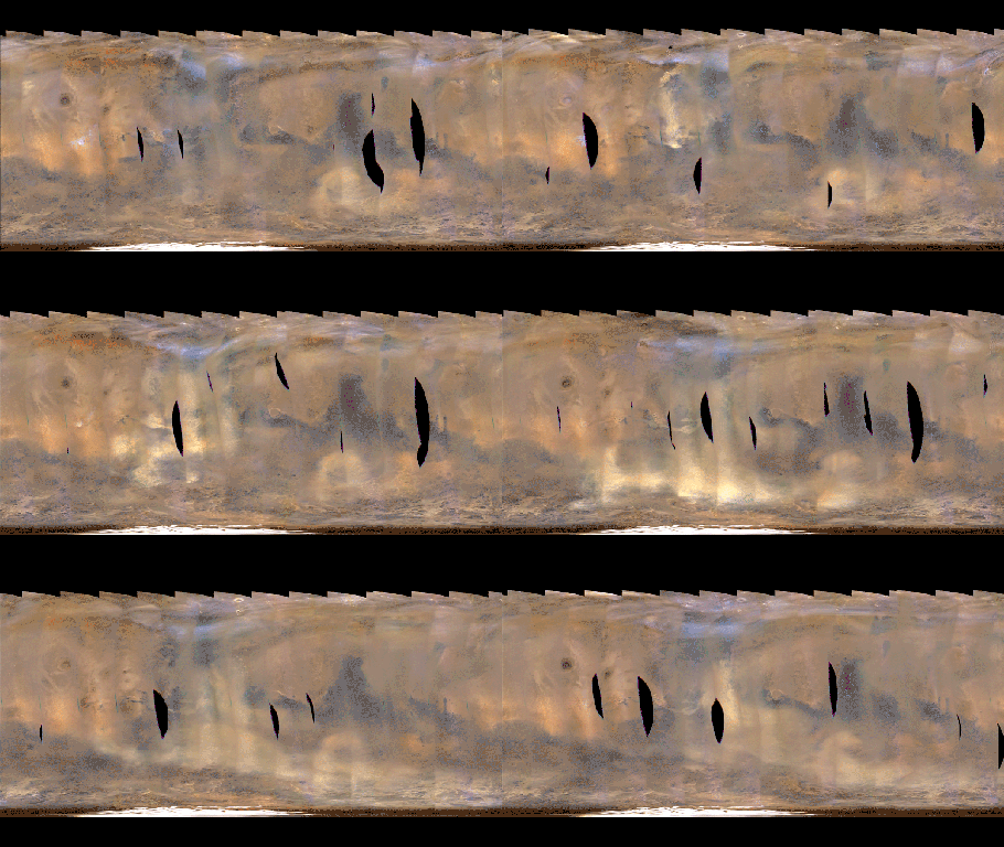
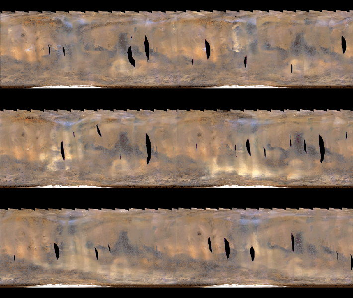
This movie clip shows a global map of Mars with atmospheric changes from Feb. 18, 2017, through March 6, 2017, a period when two regional-scale dust storms appeared. It combines hundreds of images from the Mars Color Imager (MARCI) camera on NASA's Mars Reconnaissance Orbiter.
The date for each map in the series is given at upper left. Dust storms appear as pale tan. In the opening frames, one appears left of center, near the top (north) of the map, then grows in size as it moves south, eventually spreading to about half the width of the map after reaching the southern hemisphere. As the dust from that first storm becomes more diffuse in the south, another storm appears near the center of the map in the final frames.
In viewing the movie, it helps to understand some of the artifacts produced by the nature of MARCI images when seen in animation. MARCI acquires images in swaths from pole-to-pole during the dayside portion of each orbit. The camera can cover the entire planet in just over 12 orbits, and takes about one day to accumulate this coverage. The individual swaths for each day are assembled into a false-color, map-projected mosaic for the day. Equally spaced blurry areas that run from south-to-north result from the high off-nadir viewing geometry in those parts of each swath, a product of the spacecraft's low orbit. Portions with sharper-looking details are the central part of an image, viewing more directly downward through less atmosphere than the obliquely viewed portions. MARCI has a 180-degree field of view, and Mars fills about 78 percent of that field of view when the camera is pointed down at the planet. However, the Mars Reconnaissance Orbiter often is pointed to one side or the other off its orbital track in order to acquire targeted observations by other imaging systems on the spacecraft. When such rolls exceed about 20 degrees, gaps occur in the mosaic of MARCI swaths. Other dark gaps appear where data are missing.
It isn't easy to see the actual dust motion in the atmosphere in these images, owing to the apparent motion of these artifacts. However, by concentrating on specific surface features (craters, prominent ice deposits, etc.) and looking for the tan clouds of dust, it is possible to see where the storms start and how they grow, move and eventually dissipate.
Background Info:
Malin Space Science Systems, San Diego, provided and operates MARCI. NASA's Jet Propulsion Laboratory, a division of Caltech in Pasadena, California, manages the Mars Reconnaissance Orbiter for NASA's Science Mission Directorate, Washington. Lockheed Martin Space Systems, Denver, built the spacecraft.
Cataloging Keywords:
| Name | Value | Additional Values |
|---|---|---|
| Target | Mars | |
| System | ||
| Target Type | Planet | |
| Mission | Mars Reconnaissance Orbiter (MRO) | |
| Instrument Host | Mars Reconnaissance Orbiter | |
| Host Type | Orbiter | |
| Instrument | Mars Color Imager (MARCI) | |
| Detector | ||
| Extra Keywords | Atmosphere, Color, Crater, Dust, Map, Movie, Storm | |
| Acquisition Date | ||
| Release Date | 2017-03-09 | |
| Date in Caption | 2017-02-18 | 2017-03-06 |
| Image Credit | NASA/JPL-Caltech/MSSS | |
| Source | photojournal.jpl.nasa.gov/catalog/PIA21484 | |
| Identifier | PIA21484 | |
