|
In the Gullies and Bedrock of Ius Chasma
- Click the image above for a larger view
- Full-Res JPEG (2880 x 1800) (1.1 MB)
- Full-Res TIFF (2880 x 1800) (15.6 MB)
Caption:
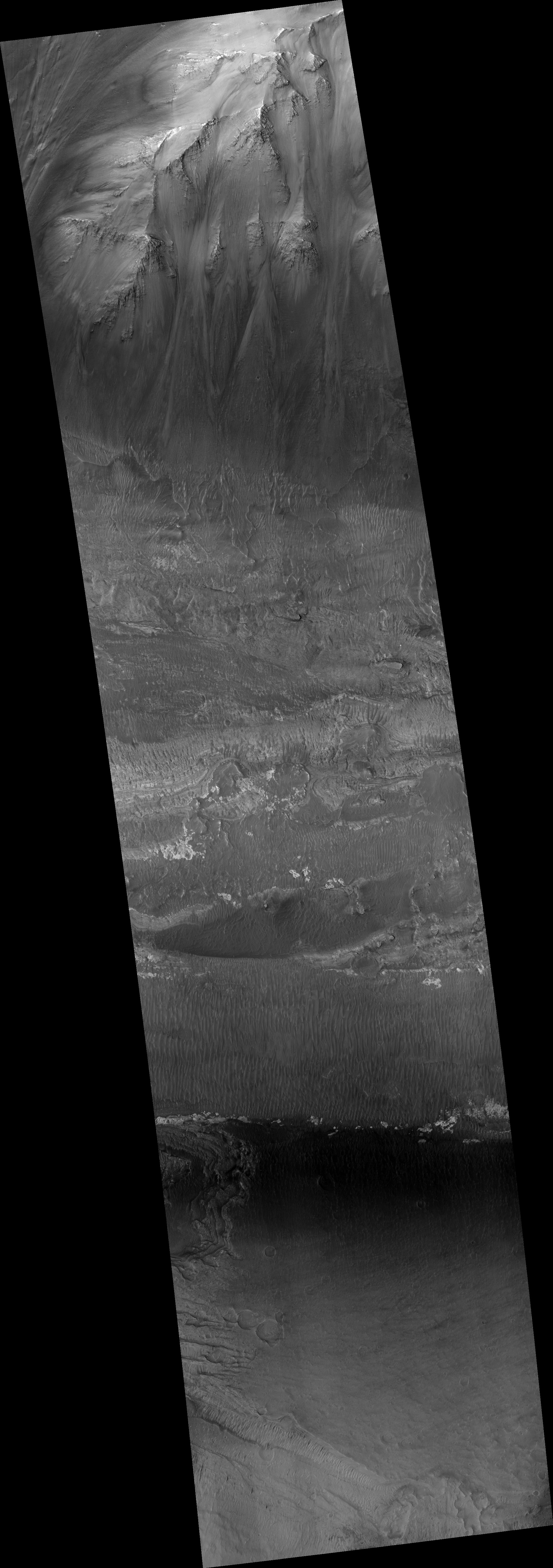
Map Projected Browse Image
Click on image for larger version
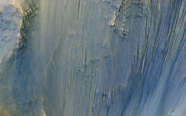
This image was acquired in Ius Chasma, a major section of the western portion of the giant Valles Marineris trough.
We see a portion of a steep slope with gullies extending downhill (towards bottom of image). Many of the gully floors are dark, and in some places that dark material extends onto the fan-shaped deposits of the gullies. These dark features are candidates for recurring slope lineae (RSL), which are seasonal features that grow incrementally. The relation between RSL and gullies is not clear: does the RSL activity carve the gullies, or do they simply follow the gully topography created by other processes?
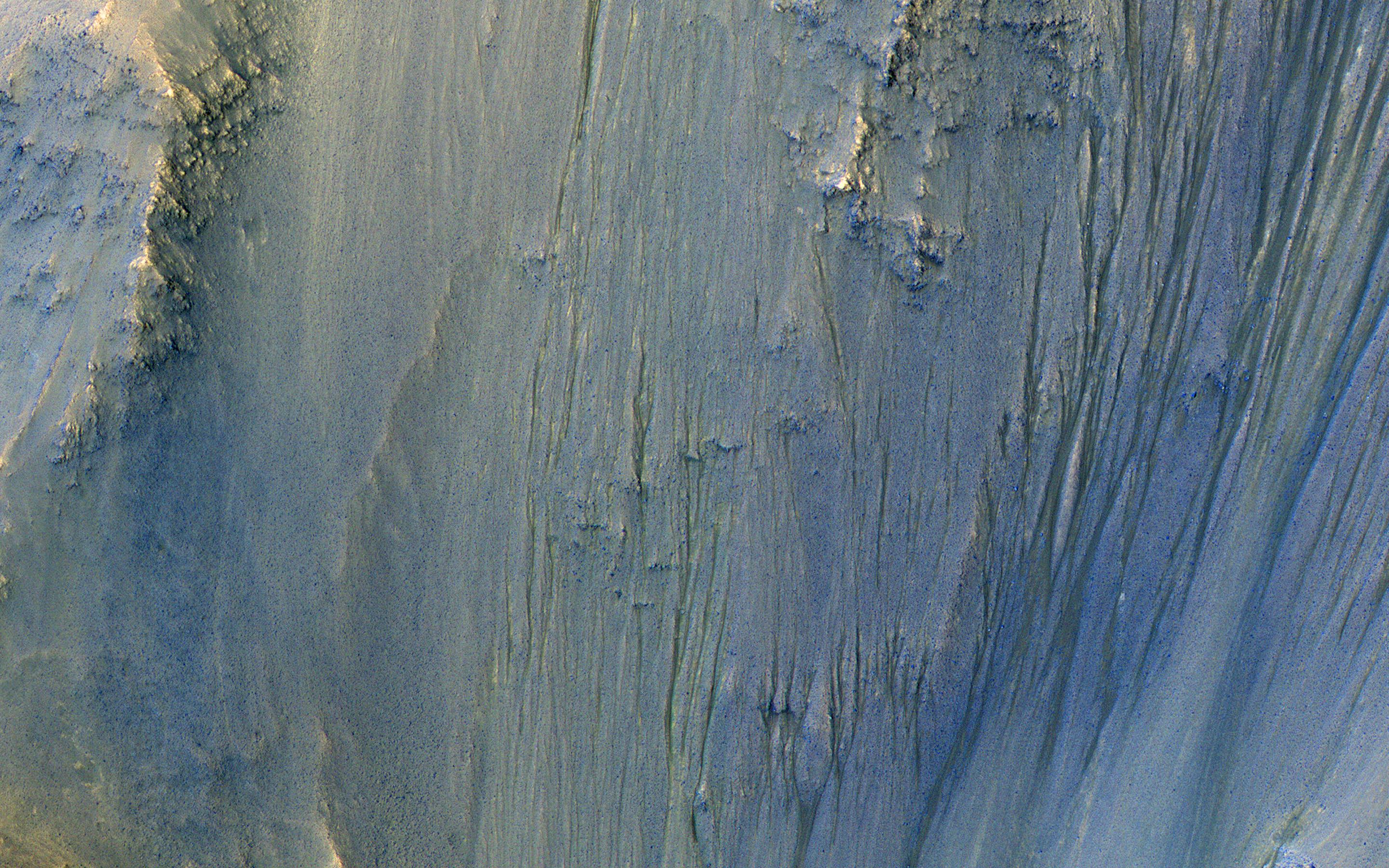
Another closeup from this observation shows part of the floor of Ius Chasma, with layered bedrock draped by dunes.
The map is projected here at a scale of 50 centimeters (19.7 inches) per pixel. (The original image scale is 53.2 centimeters [20.9 inches] per pixel [with 2 x 2 binning]; objects on the order of 160 centimeters [63.0 inches] across are resolved.) North is up.
Background Info:
The University of Arizona, in Tucson, operates HiRISE, which was built by Ball Aerospace & Technologies Corp., in Boulder, Colorado. NASA's Jet Propulsion Laboratory, a division of Caltech in Pasadena, California, manages the Mars Reconnaissance Orbiter Project for NASA's Science Mission Directorate, Washington.
Cataloging Keywords:
| Name | Value | Additional Values |
|---|---|---|
| Target | Mars | |
| System | ||
| Target Type | Planet | |
| Mission | Mars Reconnaissance Orbiter (MRO) | Mariner |
| Instrument Host | Mars Reconnaissance Orbiter | |
| Host Type | Orbiter | Flyby Spacecraft |
| Instrument | High Resolution Imaging Science Experiment (HiRISE) | |
| Detector | ||
| Extra Keywords | Color, Dune, Map | |
| Acquisition Date | ||
| Release Date | 2019-03-18 | |
| Date in Caption | ||
| Image Credit | NASA/JPL-Caltech/University of Arizona | |
| Source | photojournal.jpl.nasa.gov/catalog/PIA23099 | |
| Identifier | PIA23099 | |