|
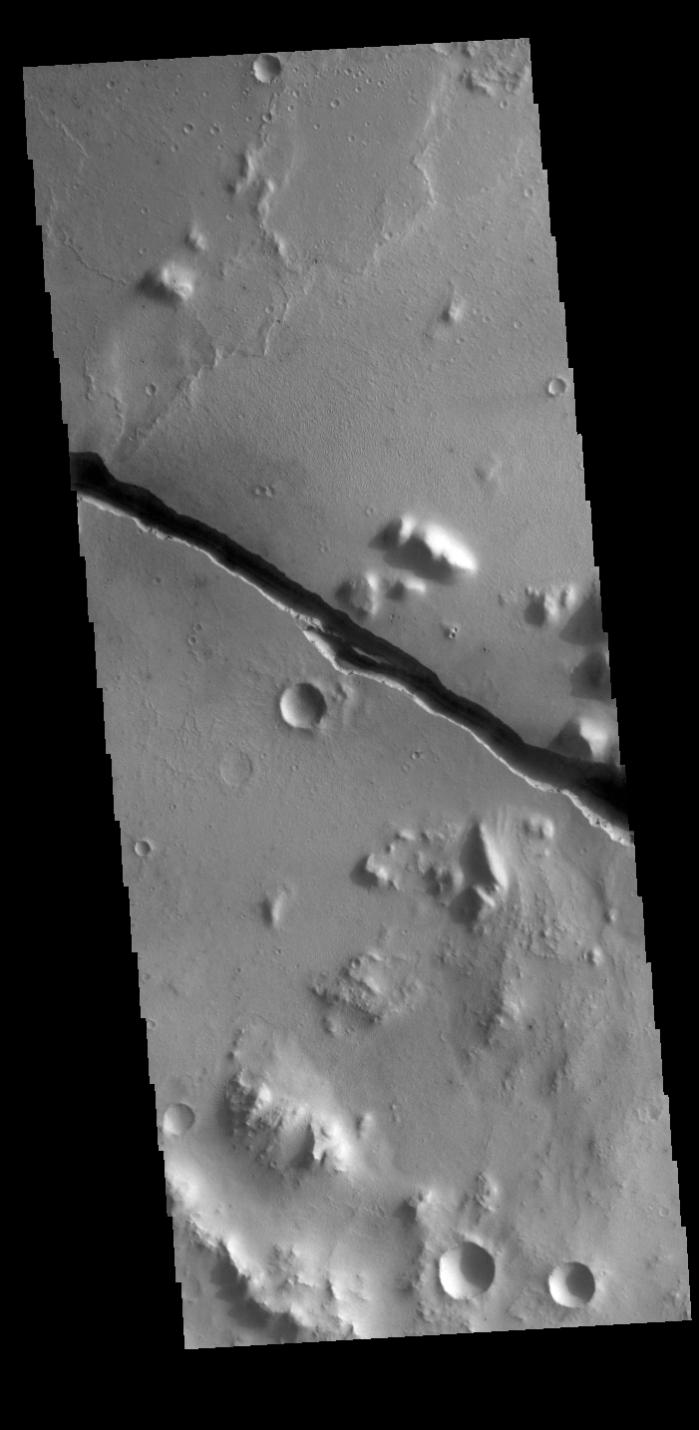
Cerberus Fossae
- Click the image above for a larger view
- Full-Res JPEG (701 x 1434) (80.0 kB)
- Full-Res TIFF (701 x 1434) (710.9 kB)
Caption:
Context image
Today's VIS image shows part of Cerberus Fossae. These large graben cut across the Tartarus Montes in Elysium Planitia. A graben forms when large blocks of material slide downward between paired faults in regions of extensional stresses. The straight sides and uniform depths are indications that these are tectonic features rather than channels caused by fluid erosion. Cerberus Fossae graben are 1235 km long, approximately the distance between Los Angeles, California and Albuquerque, New Mexico.
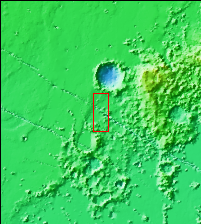
Orbit Number: 78222 Latitude: 10.4327 Longitude: 159.273 Instrument: VIS Captured: 2019-08-03 02:45
Background Info:
Please see the THEMIS Data Citation Note for details on crediting THEMIS images.
NASA's Jet Propulsion Laboratory manages the 2001 Mars Odyssey mission for NASA's Science Mission Directorate, Washington, D.C. The Thermal Emission Imaging System (THEMIS) was developed by Arizona State University, Tempe, in collaboration with Raytheon Santa Barbara Remote Sensing. The THEMIS investigation is led by Dr. Philip Christensen at Arizona State University. Lockheed Martin Astronautics, Denver, is the prime contractor for the Odyssey project, and developed and built the orbiter. Mission operations are conducted jointly from Lockheed Martin and from JPL, a division of the California Institute of Technology in Pasadena.
Cataloging Keywords:
| Name | Value | Additional Values |
|---|---|---|
| Target | Mars | |
| System | ||
| Target Type | Planet | |
| Mission | 2001 Mars Odyssey | |
| Instrument Host | Mars Odyssey | |
| Host Type | Orbiter | |
| Instrument | Thermal Emission Imaging System (THEMIS) | |
| Detector | ||
| Extra Keywords | Grayscale, Mountain, Thermal | |
| Acquisition Date | ||
| Release Date | 2019-09-12 | |
| Date in Caption | 2019-08-03 | |
| Image Credit | NASA/JPL-Caltech/ASU | |
| Source | photojournal.jpl.nasa.gov/catalog/PIA23449 | |
| Identifier | PIA23449 | |