
|
Informative Layers
- Click the image above for a larger view
- Full-Res JPEG (2880 x 1800) (1.4 MB)
- Full-Res TIFF (2880 x 1800) (15.6 MB)
Caption:
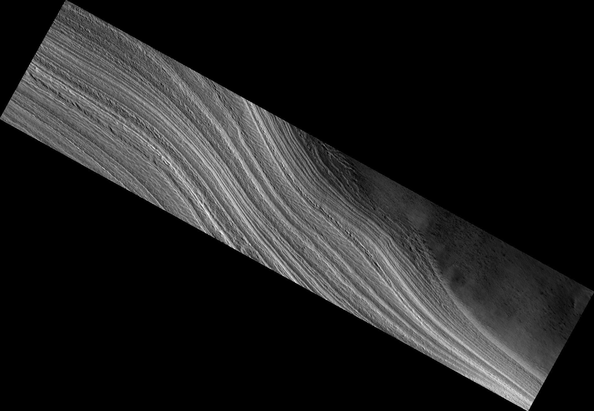
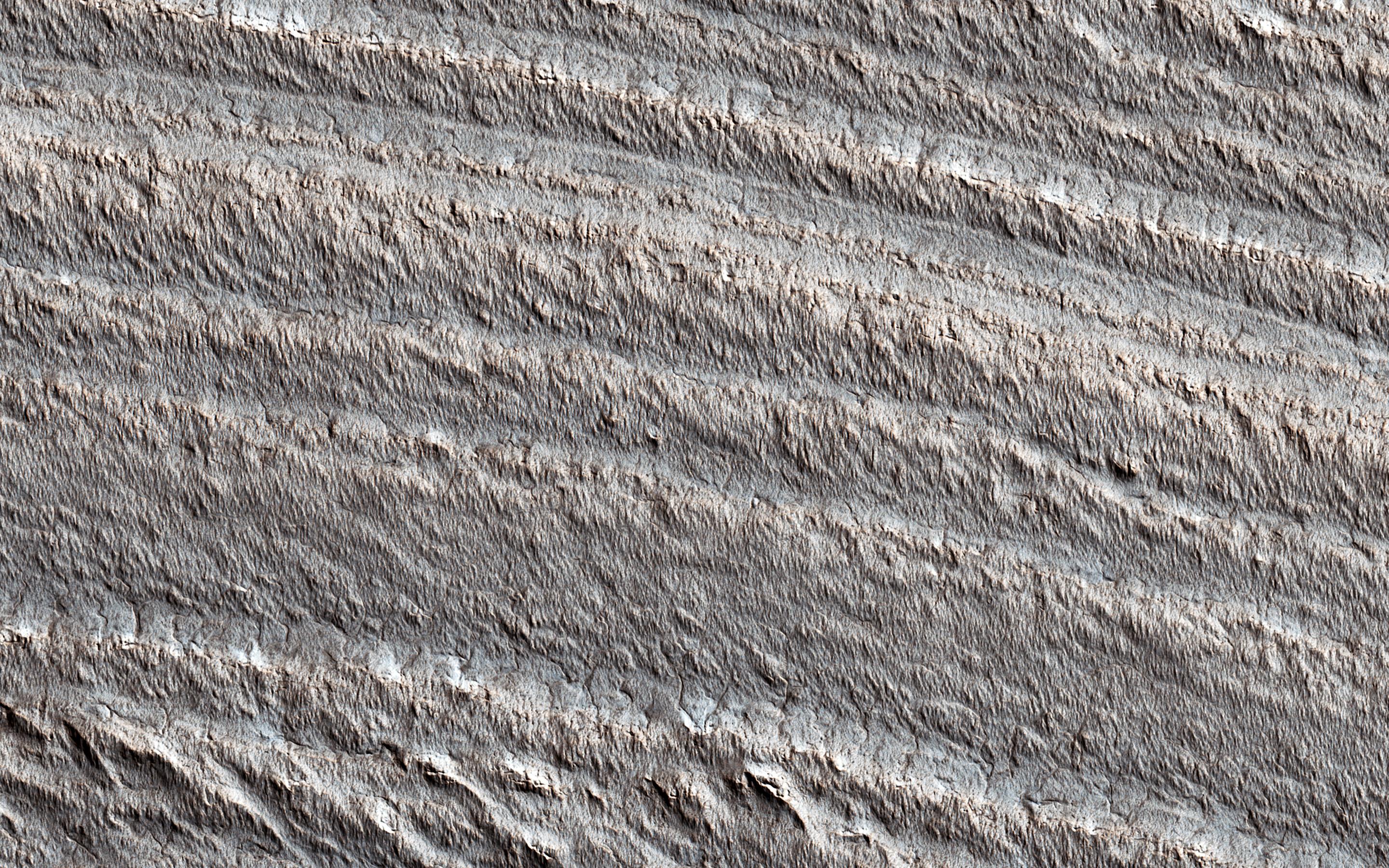
Map Projected Browse Image
Click on image for larger version
This image shows layering near the base of the south polar layered deposits (SPLD). Radar observations of these deposits and their northern counterparts show that they are rich in water ice.
The layers apparently record ancient climate changes on Mars , similar to ice ages on Earth. But it has long been recognized that the surface of the SPLD is much older than the surface of the north polar layered deposits (NPLD). By counting the craters preserved on their surfaces, the NPLD is inferred to be less than 1,500 years old, while the surface of the SPLD has many more craters and is therefore many millions of years old.
While we don't understand why these polar ice deposits have such different ages, they are both likely to preserve valuable information regarding Martian climate evolution.
The map is projected here at a scale of 50 centimeters (19.7 inches) per pixel. (The original image scale is 49.5 centimeters [19.5 inches] per pixel [with 2 x 2 binning]; objects on the order of 149 centimeters [58.7 inches] across are resolved.) North is up.
Background Info:
The University of Arizona, in Tucson, operates HiRISE, which was built by Ball Aerospace & Technologies Corp., in Boulder, Colorado. NASA's Jet Propulsion Laboratory, a division of Caltech in Pasadena, California, manages the Mars Reconnaissance Orbiter Project for NASA's Science Mission Directorate, Washington.
Cataloging Keywords:
| Name | Value | Additional Values |
|---|---|---|
| Target | Mars | |
| System | ||
| Target Type | Planet | |
| Mission | Mars Reconnaissance Orbiter (MRO) | |
| Instrument Host | Mars Reconnaissance Orbiter | |
| Host Type | Orbiter | |
| Instrument | High Resolution Imaging Science Experiment (HiRISE) | |
| Detector | ||
| Extra Keywords | Color, Crater, Map, Radar, Water | |
| Acquisition Date | ||
| Release Date | 2021-03-22 | |
| Date in Caption | ||
| Image Credit | NASA/JPL-Caltech/University of Arizona | |
| Source | photojournal.jpl.nasa.gov/catalog/PIA24469 | |
| Identifier | PIA24469 | |