Venus - Magellan Data Superimposed on Pioneer Venus Data - Devana Chasma and Phoebe Regio
Caption:
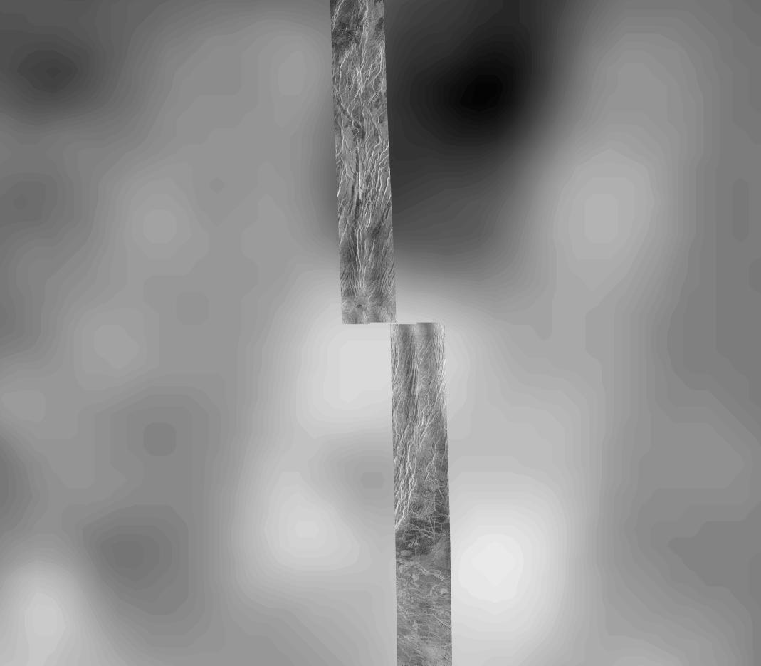
This image covers part of the 150 kilometer (90 mile) wide, 1 to 1.5 kilometer (0.6 to 0.9 mile) deep valley, Devana Chasma. The image is a composite of the first two orbits recorded by the Magellan spacecraft in August 1990 superimposed on Pioneer Venus topography. This image is located at the intersection of Devana Chasma and the Phoebe Regio upland. It covers a region approximately 525 by 525 kilometers (315 by 315 miles), centered 288 degrees east longitude on the equator. Devana Chasma consists of radar bright lineaments, interpreted to be fault scarps, oriented in a north-northeast direction. This part of the planet is thought to be an area where the crust is being stretched and pulled apart producing a rift valley, similar to the East African rift.
Cataloging Keywords:
| Name |
Value |
Additional Values |
| Target |
Venus |
|
| System |
|
|
| Target Type |
Planet |
|
| Mission |
Magellan |
Pioneer Venus |
| Instrument Host |
Magellan |
Pioneer Venus Orbiter |
| Host Type |
Orbiter |
Flyby Spacecraft |
| Instrument |
Imaging Radar |
|
| Detector |
|
|
| Extra Keywords |
Grayscale, Radar |
| Acquisition Date |
|
| Release Date |
1996-09-26 |
| Date in Caption |
|
|
| Image Credit |
NASA/JPL |
| Source |
photojournal.jpl.nasa.gov/catalog/PIA00464 |
| Identifier |
PIA00464 |