|
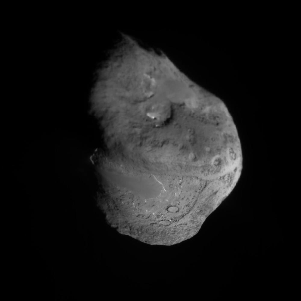
Tempel 1 Composite Map
- Click the image above for a larger view
- Full-Res JPEG (2048 x 2048) (121.6 kB)
- Full-Res TIFF (2048 x 2048) (4.2 MB)
Caption:
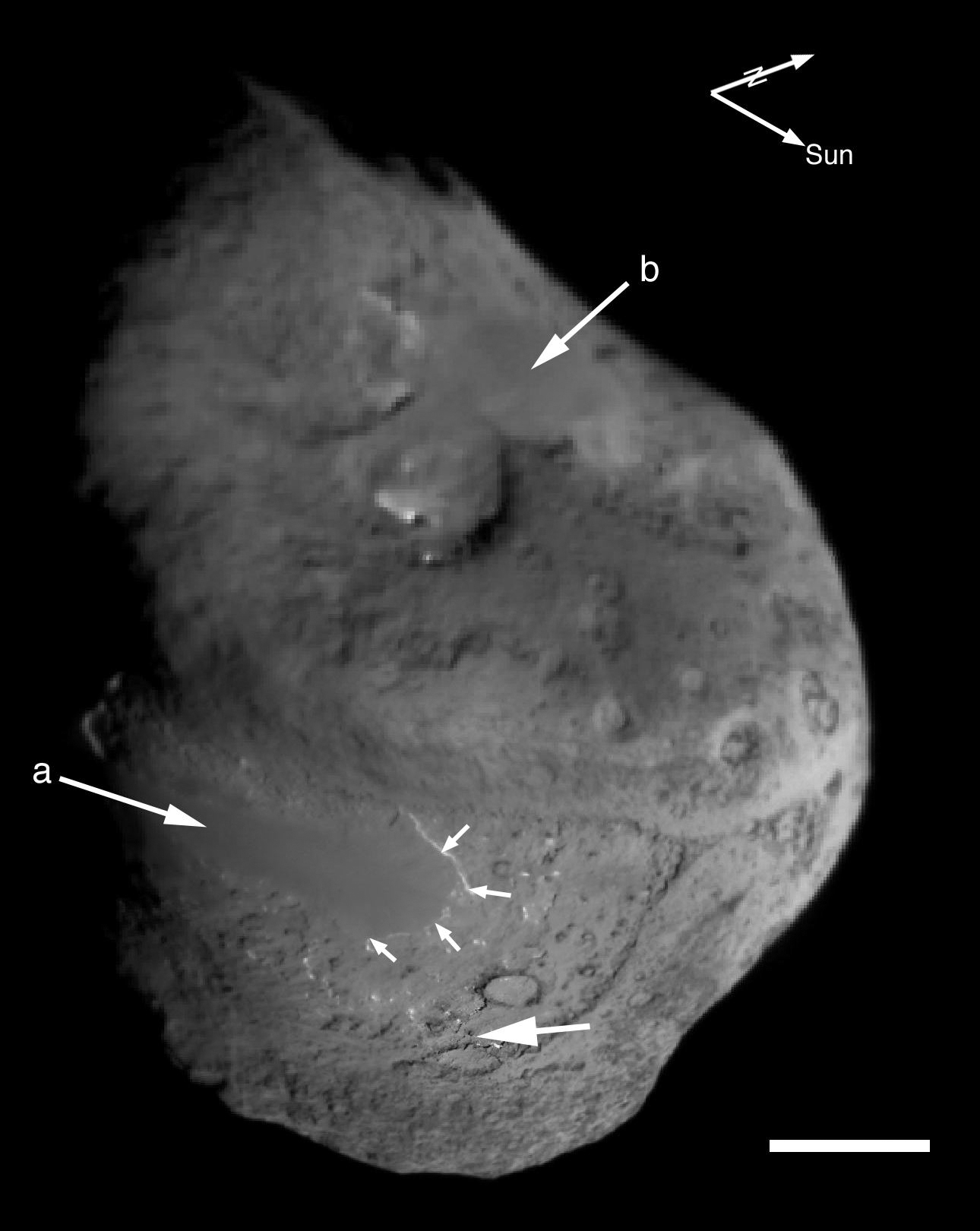
Annotated image of
Tempel 1 Composite Map
This composite image was built up from scaling all images to 5 meters/pixel, and aligning images to fixed points. Each image at closer range, replaced equivalent locations observed at a greater distance. The impact site has the highest resolution because images were acquired until about 4 sec from impact or a few meters from the surface.
Arrows a and b point to large, smooth regions. The impact site is indicated by the third large arrow. Small arrows highlight a scarp that is bright due to illumination angle, which shows the smooth area to be elevated above the extremely rough terrain. The scale bar is 1 km and the two arrows above the nucleus point to the sun and the rotational axis of the nucleus. Celestial north is near the rotational pole.
Cataloging Keywords:
| Name | Value | Additional Values |
|---|---|---|
| Target | 9P/Tempel | |
| System | Periodic Comets | |
| Target Type | Comet | |
| Mission | Deep Impact | |
| Instrument Host | Deep Impact | |
| Host Type | Impactor | |
| Instrument | Impactor Targeting Sensor (ITS) | |
| Detector | ||
| Extra Keywords | Grayscale, Impact, Map, Rotation | |
| Acquisition Date | ||
| Release Date | 2005-09-06 | |
| Date in Caption | ||
| Image Credit | NASA/JPL/UMD | |
| Source | photojournal.jpl.nasa.gov/catalog/PIA02142 | |
| Identifier | PIA02142 | |