Nirgal Vallis (Released 27 March 2002)
Caption:
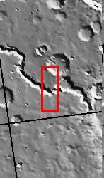
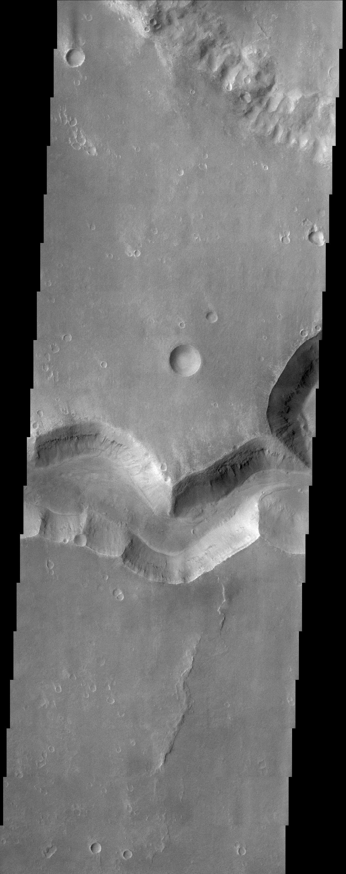
This THEMIS image shows a sinuous valley network channel with sharp bends cutting across the cratered highlands of the southern hemisphere of Mars. The channel is named Nirgal Vallis, which is from the Babylonian word for "Mars." Nirgal Vallis is a channel with a total length of approximately 500 km. It is approximately 6 km wide in this region. Gullies and alluvial deposits discovered by Mars Global Surveyor are clearly visible on the polar-facing (south) wall and floor of Nirgal Vallis. These gullies appear to emanate from a specific layer in the walls. There is a pronounced sparsity of gullies on the equator-ward facing slopes. The gullies have been proposed to have formed by the subsurface release of water. Patches of dunes are also seen on the channel floor, notably along the edges of the channel floor near the canyon walls. There is still debate within the scientific community as to how valley networks themselves form: surface runoff (rainfall/snowmelt) or headward erosion via groundwater sapping. This image is approximately 22 km wide and 60 km in length; north is toward the top.
Cataloging Keywords:
| Name |
Value |
Additional Values |
| Target |
Mars |
|
| System |
|
|
| Target Type |
Planet |
|
| Mission |
2001 Mars Odyssey |
Mars Global Surveyor (MGS) |
| Instrument Host |
Mars Odyssey |
Mars Global Surveyor |
| Host Type |
Orbiter |
|
| Instrument |
Thermal Emission Imaging System (THEMIS) |
|
| Detector |
|
|
| Extra Keywords |
Crater, Dune, Grayscale, Water |
| Acquisition Date |
|
| Release Date |
2002-04-25 |
| Date in Caption |
|
|
| Image Credit |
NASA/JPL/Arizona State University |
| Source |
photojournal.jpl.nasa.gov/catalog/PIA03756 |
| Identifier |
PIA03756 |
