skip to navigation
|
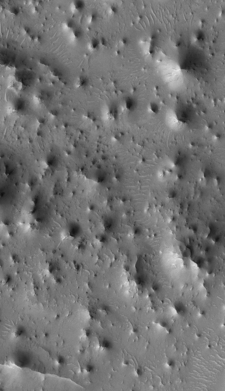
Knobby Eastern Arabia
- Click the image above for a larger view
- Full-Res JPEG (1024 x 1781) (382.3 kB)
- Full-Res TIFF (1024 x 1781) (1.8 MB)
Caption:
2 July 2005
This Mars Global Surveyor (MGS) Mars Orbiter Camera (MOC) image shows a 1.4 meters per pixel (~5 ft/pixel) view of an eroded landscape north of the crater, Antoniadi, in far eastern Arabia Terra. Each knob and butte in this image is a remanant of a formerly more-extensive layered rock unit that has been largely eroded away.
Location near
: 84.2°S, 138.3°W
Image width
: ~3 km (~1.9 mi)
Illumination from
: upper left
Season
Southern Spring
Cataloging Keywords:
| Name | Value | Additional Values |
|---|---|---|
| Target | Mars | |
| System | ||
| Target Type | Planet | |
| Mission | Mars Global Surveyor (MGS) | |
| Instrument Host | Mars Global Surveyor | |
| Host Type | Orbiter | |
| Instrument | Mars Orbiter Camera (MOC) | |
| Detector | ||
| Extra Keywords | Crater, Grayscale | |
| Acquisition Date | ||
| Release Date | 2005-07-02 | |
| Date in Caption | 2005-07-02 | |
| Image Credit | NASA/JPL/Malin Space Science Systems | |
| Source | photojournal.jpl.nasa.gov/catalog/PIA03978 | |
| Identifier | PIA03978 | |