Spirit’s Course
Caption:
|
|
|
Figure 1
|
Figure 2
|
|
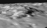
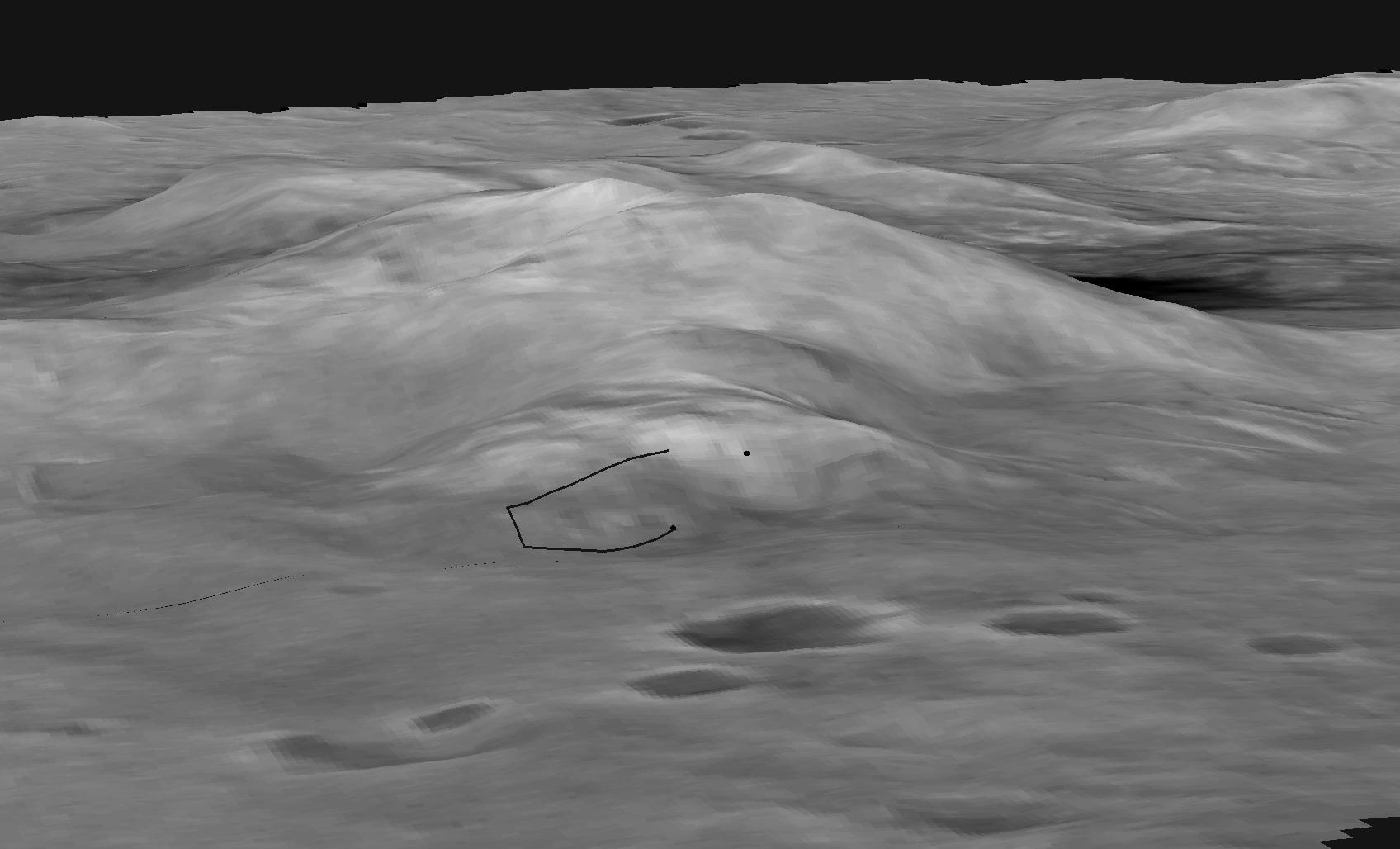
This digital elevation map shows the topography of the "Columbia Hills," just in front of the Mars Exploration Rover Spirit's current position. Rover planners have plotted the safest route for Spirit to climb to the front hill, called "West Spur." The black line in the middle of the image represents the rover's traverse path, which starts at "Hank's Hollow" and ends at the top of "West Spur." Scientists are sending Spirit up the hill to investigate the interesting rock outcrops visible in images taken by the rover. Data from the Mars Orbital Camera on the orbiting Mars Global Surveyor were used to create this 3-D map.
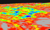
In figure 1, the digital map shows the slopes of the "Columbia Hills," just in front of the Mars Exploration Rover Spirit's current position. Colors indicate the slopes of the hills, with red areas being the gentlest and blue the steepest. Rover planners have plotted the safest route for Spirit to climb the front hill, called "West Spur." The path is indicated here with a curved black line. Stereo images from the Mars Orbital Camera on the orbiting Mars Global Surveyor were used to create this 3-D map.
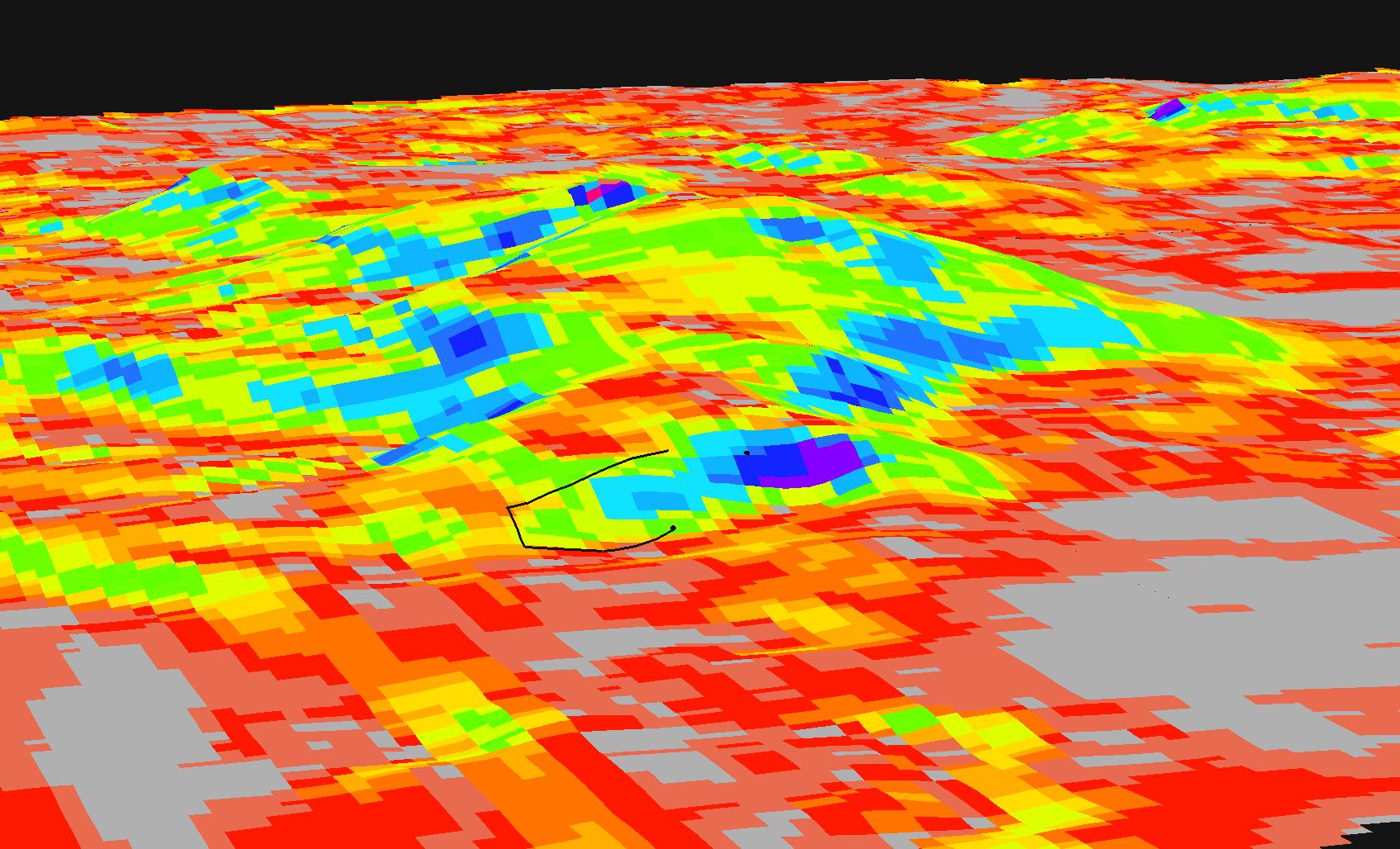
In figure 2, the map shows the north-facing slopes of the "Columbia Hills," just in front of the Mars Exploration Rover Spirit's current position. Bright areas indicate surfaces sloping more toward the north than dark areas. To reach the rock outcrop at the top of the hill, engineers will aim to drive the rover around the dark areas, which would yield less solar power. The curved black line in the middle represents the rover's planned traverse path.
Cataloging Keywords:
| Name |
Value |
Additional Values |
| Target |
Mars |
|
| System |
|
|
| Target Type |
Planet |
|
| Mission |
Mars Global Surveyor (MGS) |
Mars Exploration Rover (MER) |
| Instrument Host |
Mars Global Surveyor |
Spirit (MER-A) |
| Host Type |
Orbiter |
Rover |
| Instrument |
Mars Orbiter Camera (MOC) |
|
| Detector |
|
|
| Extra Keywords |
Grayscale, Map |
| Acquisition Date |
|
| Release Date |
2004-07-17 |
| Date in Caption |
|
|
| Image Credit |
NASA/JPL/USGS/MSSS |
| Source |
photojournal.jpl.nasa.gov/catalog/PIA06691 |
| Identifier |
PIA06691 |

