Pointing at ‘Puffin’
Caption:
|
|
|
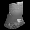
Figure 1
|
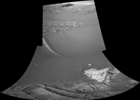
Figure 2
|
|
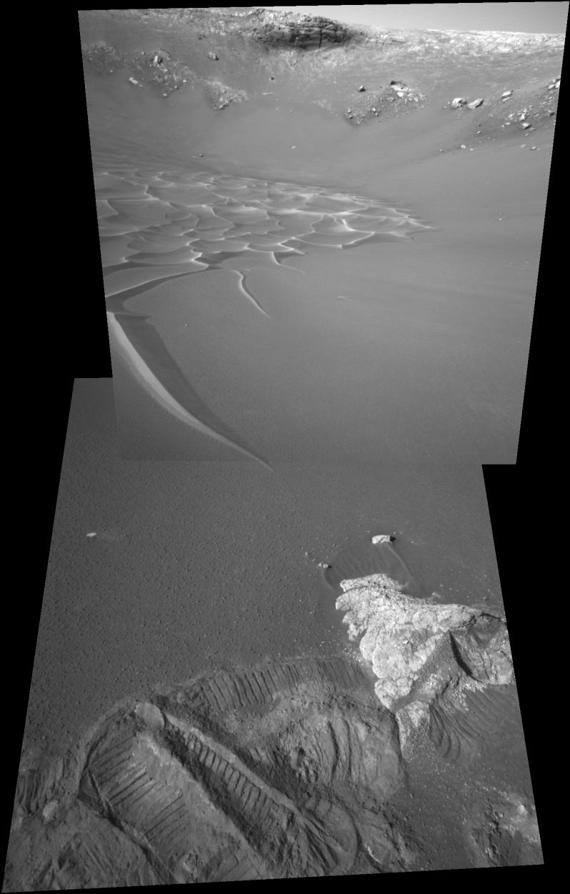
The intriguing dunes at the bottom of "Endurance Crater" presented a tantalizing target for the science team for NASA's Mars Exploration Rover Opportunity. After analyzing the soil near and around the dunes, however, the rover engineering team decided that it was too risky to send Opportunity any closer. The terrain between the rover and the dune tendril did not present clear evidence of rocky plates to give the rover sufficient traction. A finger-like dune tendril pictured here (left) is, essentially, pointing to the rover's current area of investigation. Opportunity rolled over the foreground rock, called "Puffin." During the past several sols the rover has been examining its new neighborhood, an area that includes the rocks "Ellesmere" and "Escher" (not pictured) and the soil targets "Shag" and "Auk" (also not pictured). Experiencing significant slippage, the rover did some unintended trenching and left deep tracks in this area. This view is a mosaic of two images taken by the rover's navigation camera on Opportunity's 206th sol on Mars (August 22, 2004) and presented in a perspective projection. Figure 1 is a cylindrical-perspective projection and Figure 2 is a cylindrical perspective.
Cataloging Keywords:
| Name |
Value |
Additional Values |
| Target |
Mars |
|
| System |
|
|
| Target Type |
Planet |
|
| Mission |
Mars Exploration Rover (MER) |
|
| Instrument Host |
Opportunity (MER-B) |
|
| Host Type |
Rover |
|
| Instrument |
Navigation Camera (Navcam) |
|
| Detector |
|
|
| Extra Keywords |
Crater, Dune, Grayscale |
| Acquisition Date |
|
| Release Date |
2004-08-26 |
| Date in Caption |
2004-08-22 |
|
| Image Credit |
NASA/JPL |
| Source |
photojournal.jpl.nasa.gov/catalog/PIA06832 |
| Identifier |
PIA06832 |

