|
‘Columbia Hills’ Color Elevation Map
- Click the image above for a larger view
- Full-Res JPEG (1477 x 941) (138.2 kB)
- Full-Res TIFF (1477 x 941) (4.2 MB)
Caption:
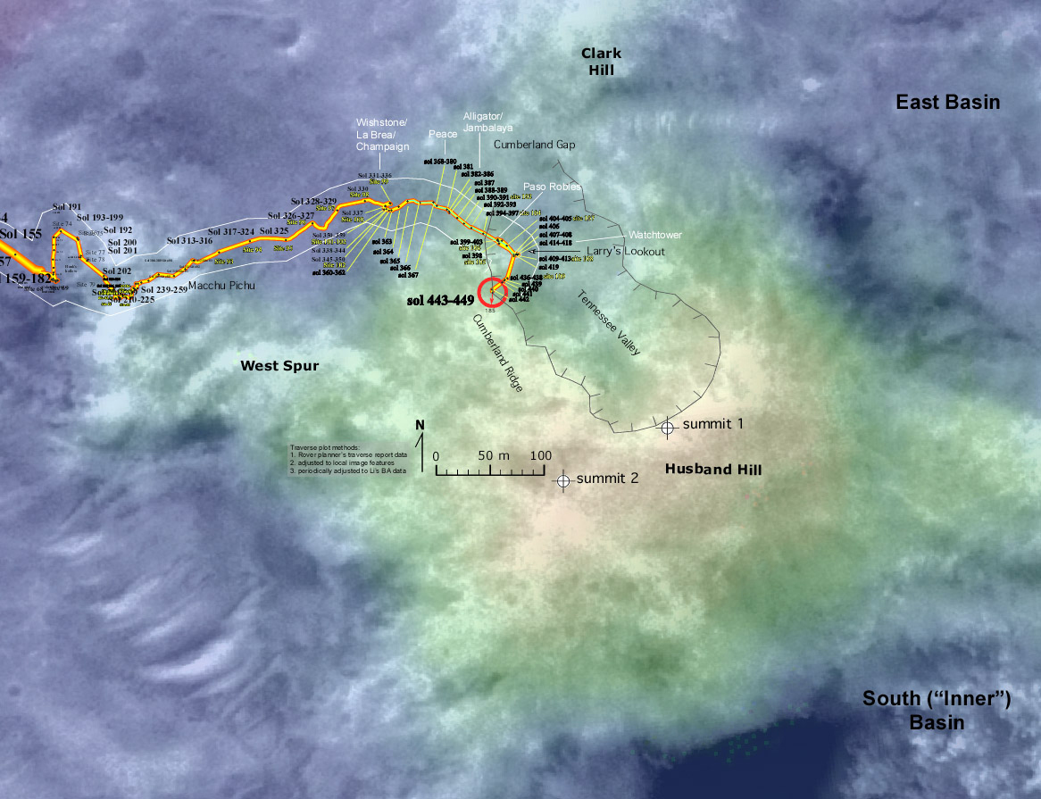
Figure 1: Spirit's Long Journey, Sol 450
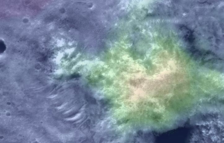
This elevation map shows the region of the 'Columbia Hills' where NASA's Mars Exploration Rover Spirit has been working since mid-2004. Areas colored blue are lower in elevation and areas colored yellow are higher in elevation. The map imagery is from the Mars Orbiter Camera on NASA's Mars Global Surveyor orbiter.
Spirit's Long Journey, Sol 450
More than 15 months after landing on Mars, NASA's Spirit rover is still going strong, having traveled a total of 4,276 meters (2.66 miles) as of martian day, or sol, 450 (April 8, 2005). This elevation map shows the traverse followed by Spirit since arriving at the "Columbia Hills" in June, 2004. The areas colored blue are low in elevation and areas colored yellow are high in elevation. The blue area at the foot of the "Columbia Hills" is approximately 20 meters (66 feet) higher in elevation than the site where Spirit landed in Gusev Crater. The highest peak is on the order of 80 meters (262 feet) higher still. In other words, the hills Spirit is exploring are more than 250 feet high. The map imagery is from the Mars Orbiter Camera on NASA's Mars Global Surveyor.
Cataloging Keywords:
| Name | Value | Additional Values |
|---|---|---|
| Target | Mars | |
| System | ||
| Target Type | Planet | |
| Mission | Mars Global Surveyor (MGS) | Mars Exploration Rover (MER) |
| Instrument Host | Mars Global Surveyor | Spirit (MER-A) |
| Host Type | Orbiter | Rover |
| Instrument | Mars Orbiter Camera (MOC) | |
| Detector | ||
| Extra Keywords | Color, Crater, Map | |
| Acquisition Date | ||
| Release Date | 2005-04-19 | |
| Date in Caption | 2005-04-08 | |
| Image Credit | NASA/JPL/MSSS/NMMNH | |
| Source | photojournal.jpl.nasa.gov/catalog/PIA07848 | |
| Identifier | PIA07848 | |