
|
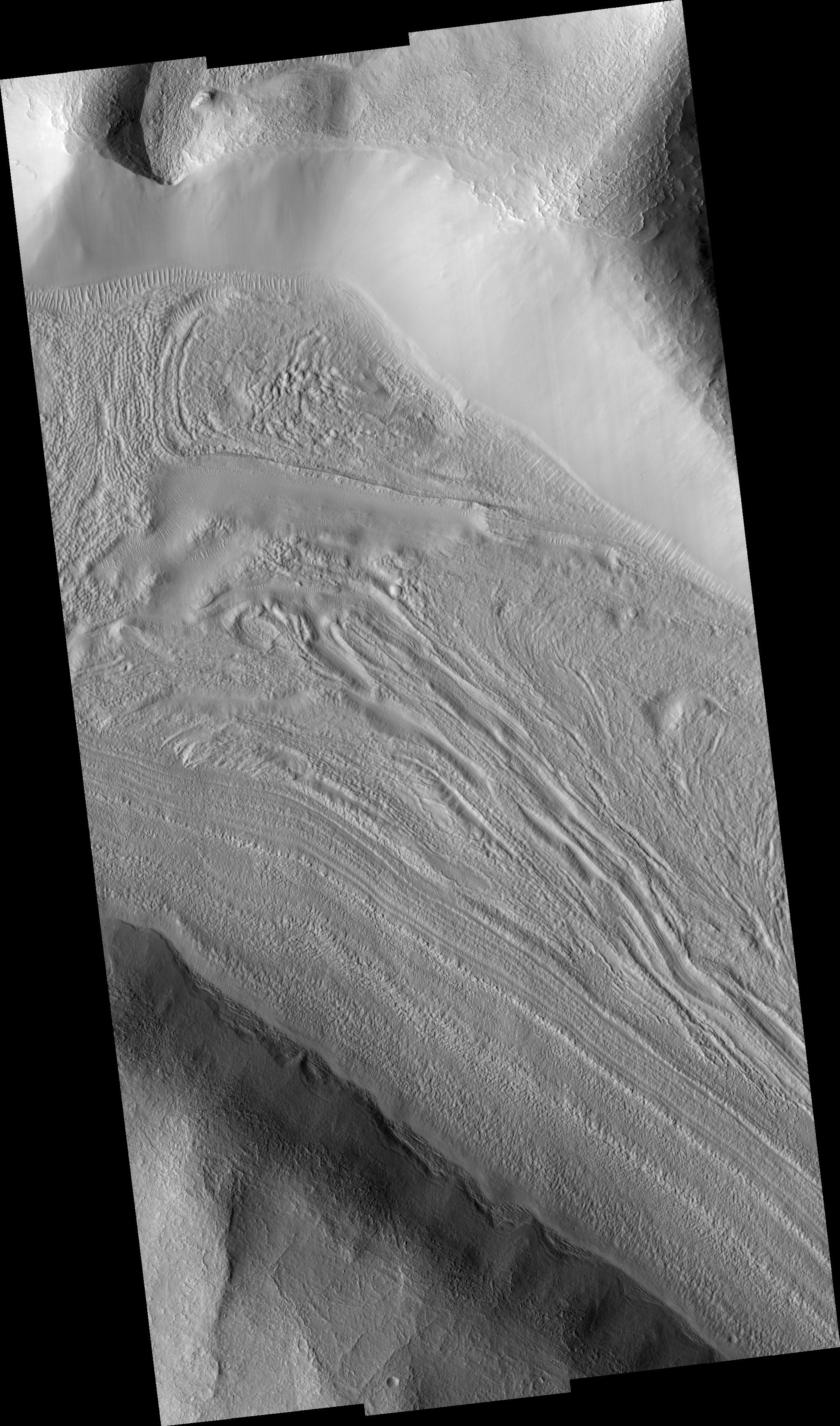
Fretted Terrain Valley in Coloe Fossae Region
- Click the image above for a larger view
- Full-Res JPEG (2048 x 3476) (867.7 kB)
- Full-Res TIFF (2048 x 3476) (7.1 MB)
Caption:
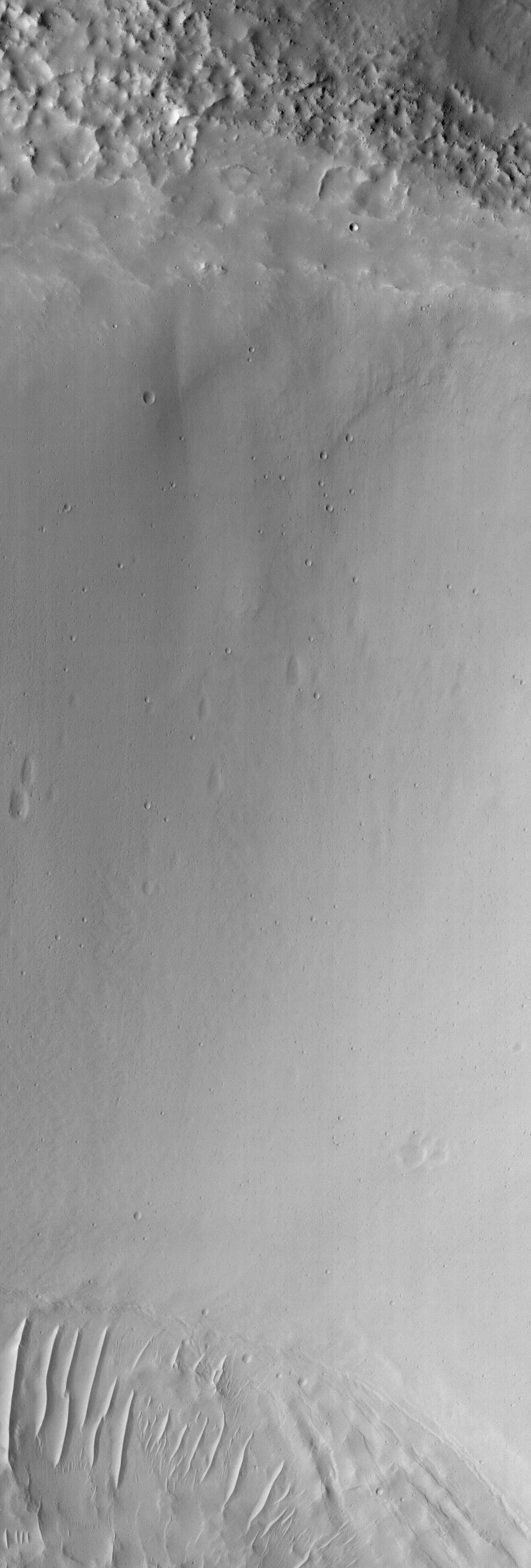
Figure 1
Click on image for larger version
The image in figure 1 shows lineated valley fill in one of a series of enclosed, intersecting troughs known as Coloe (Choloe) Fossae. Lineated valley fill consists of rows of material in valley centers that are parallel to the valley walls. It is probably made of ice-rich material and boulders that are left behind when the ice-rich material sublimates. Very distinct rows can be seen near the south (bottom) wall of the valley. Lineated valley fill is thought to result from mass wasting (downslope movement) of ice-rich material from valley walls towards their centers. It is commonly found in valleys near the crustal dichotomy that separates the two hemispheres of Mars. The valley shown here joins four other valleys with lineated fill near the top left corner of this image. Their juncture is a topographic low, suggesting that the lineated valley fill from the different valleys may be flowing or creeping towards the low area (movement towards the upper left of the image). The valley walls appear smooth at first glance but are seen to be speckled with small craters several meters in diameter at HiRISE resolution (see contrast-enhanced subimage). This indicates that at least some of the wall material has been stable to mass wasting for some period of time. Also seen on the valley wall are elongated features shaped like teardrops. These are most likely slightly older craters that have been degraded due to potentially recent downhill creep. It is unknown whether the valley walls are shedding material today. The subimage is approximately 140 x 400 m (450 x 1280 ft).
Image PSP_001372_2160 was taken by the High Resolution Imaging Science Experiment (HiRISE) camera onboard the Mars Reconnaissance Orbiter spacecraft on November 11, 2006. The complete image is centered at 35.5 degrees latitude, 56.8 degrees East longitude. The range to the target site was 290.3 km (181.4 miles). At this distance the image scale ranges from 58.1 cm/pixel (with 2 x 2 binning) to 116.2 cm/pixel (with 4 x 4 binning). This image has been map-projected to 50 cm/pixel and north is up. The image was taken at a local Mars time of 3:23 PM and the scene is illuminated from the west with a solar incidence angle of 48 degrees, thus the sun was about 42 degrees above the horizon. At a solar longitude of 133.8 degrees, the season on Mars is Northern Summer.
Background Info:
NASA's Jet Propulsion Laboratory, a division of the California Institute of Technology in Pasadena, manages the Mars Reconnaissance Orbiter for NASA's Science Mission Directorate, Washington. Lockheed Martin Space Systems, Denver, is the prime contractor for the project and built the spacecraft. The High Resolution Imaging Science Experiment is operated by the University of Arizona, Tucson, and the instrument was built by Ball Aerospace and Technology Corp., Boulder, Colo.
Cataloging Keywords:
| Name | Value | Additional Values |
|---|---|---|
| Target | Mars | |
| System | ||
| Target Type | Planet | |
| Mission | Mars Reconnaissance Orbiter (MRO) | |
| Instrument Host | Mars Reconnaissance Orbiter | |
| Host Type | Orbiter | |
| Instrument | High Resolution Imaging Science Experiment (HiRISE) | |
| Detector | ||
| Extra Keywords | Crater, Grayscale, Map | |
| Acquisition Date | ||
| Release Date | 2006-11-29 | |
| Date in Caption | 2006-11-11 | |
| Image Credit | NASA/JPL/Univ. of Arizona | |
| Source | photojournal.jpl.nasa.gov/catalog/PIA09367 | |
| Identifier | PIA09367 | |