|
Layered Rocks in a Crater in Arabia Terra
- Click the image above for a larger view
- Full-Res JPEG (2048 x 5645) (928.6 kB)
- Full-Res TIFF (2048 x 5645) (11.6 MB)
Caption:
Click on image for larger version
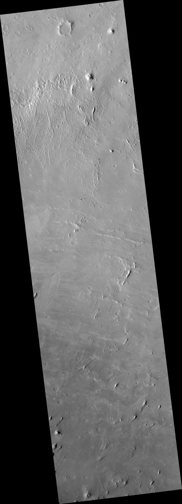
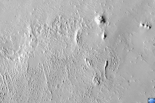
This HiRISE image ( PSP_002574_1865 ) shows a ground surface composed of many thin light- and dark-toned layers.
These layers are mostly parallel with adjacent layers, and sets of layers often form intricate curved shapes that are reminiscent of wood grain.
What we see here is actually a series of rock layers that have been sequentially laid down on the floor of a large impact crater. These layers create interesting geometric patterns because they initially accumulated as large ripples, or sand dunes.
Subsequently, the ground surface was eroded away by the wind, revealing these underground layers of bedrock.
Observation Toolbox
Acquisition date:
2 February 2007
Local Mars time:
3:42 PM
Degrees latitude (centered):
6.6°
Degrees longitude (East):
14.1°
Range to target site:
275.1 km (171.9 miles)
Original image scale range:
27.5 cm/pixel (with 1 x 1 binning) so objects ~83 cm across are resolved
Map-projected scale:
25 cm/pixel and north is up
Map-projection:
EQUIRECTANGULAR
Emission angle:
4.8°
Phase angle:
51.3°
Solar incidence angle:
56°, with the Sun about 34° above the horizon
Solar longitude:
183.0°, Northern Autumn
Background Info:
NASA's Jet Propulsion Laboratory, a division of the California Institute of Technology in Pasadena, manages the Mars Reconnaissance Orbiter for NASA's Science Mission Directorate, Washington. Lockheed Martin Space Systems, Denver, is the prime contractor for the project and built the spacecraft. The High Resolution Imaging Science Experiment is operated by the University of Arizona, Tucson, and the instrument was built by Ball Aerospace and Technology Corp., Boulder, Colo.
Cataloging Keywords:
| Name | Value | Additional Values |
|---|---|---|
| Target | Mars | |
| System | ||
| Target Type | Planet | |
| Mission | Mars Reconnaissance Orbiter (MRO) | |
| Instrument Host | Mars Reconnaissance Orbiter | |
| Host Type | Orbiter | |
| Instrument | High Resolution Imaging Science Experiment (HiRISE) | |
| Detector | ||
| Extra Keywords | Crater, Dune, Grayscale, Impact, Infrared, Map | |
| Acquisition Date | ||
| Release Date | 2007-04-11 | |
| Date in Caption | 2007-02-02 | |
| Image Credit | NASA/JPL/Univ. of Arizona | |
| Source | photojournal.jpl.nasa.gov/catalog/PIA09658 | |
| Identifier | PIA09658 | |