
|
The Lowest Point of Osuga Valles
- Click the image above for a larger view
- Full-Res JPEG (2880 x 1800) (718.2 kB)
- Full-Res TIFF (2880 x 1800) (15.6 MB)
Caption:
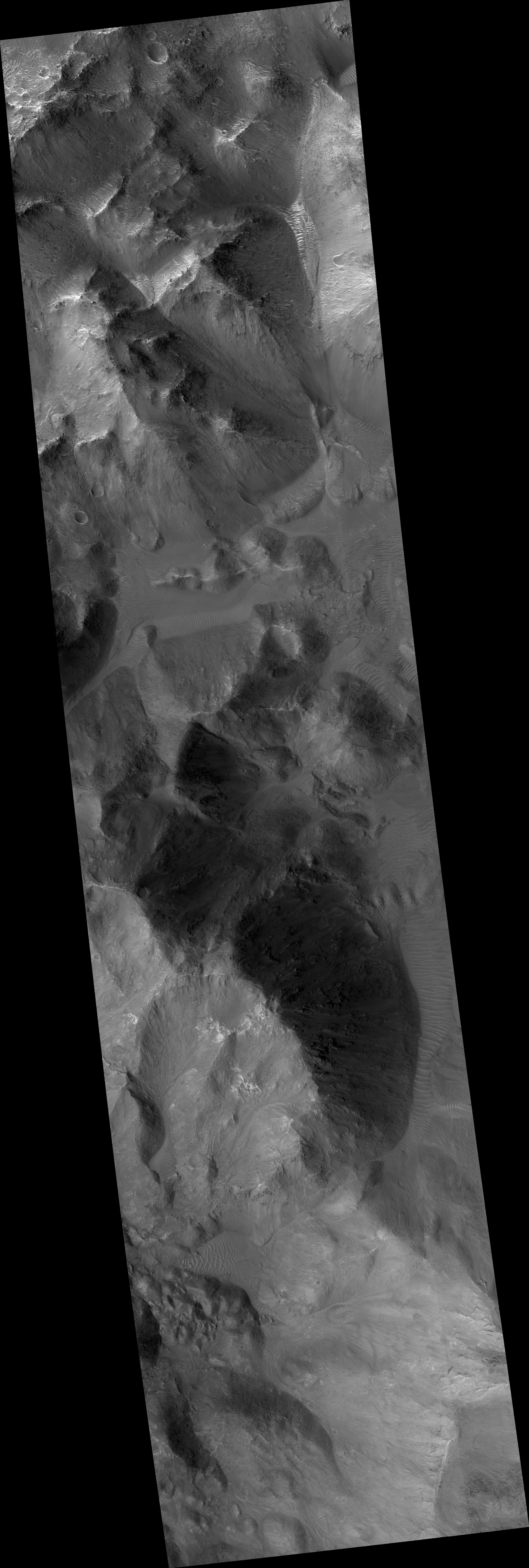
Map Projected Browse Image
Click on the image for larger version
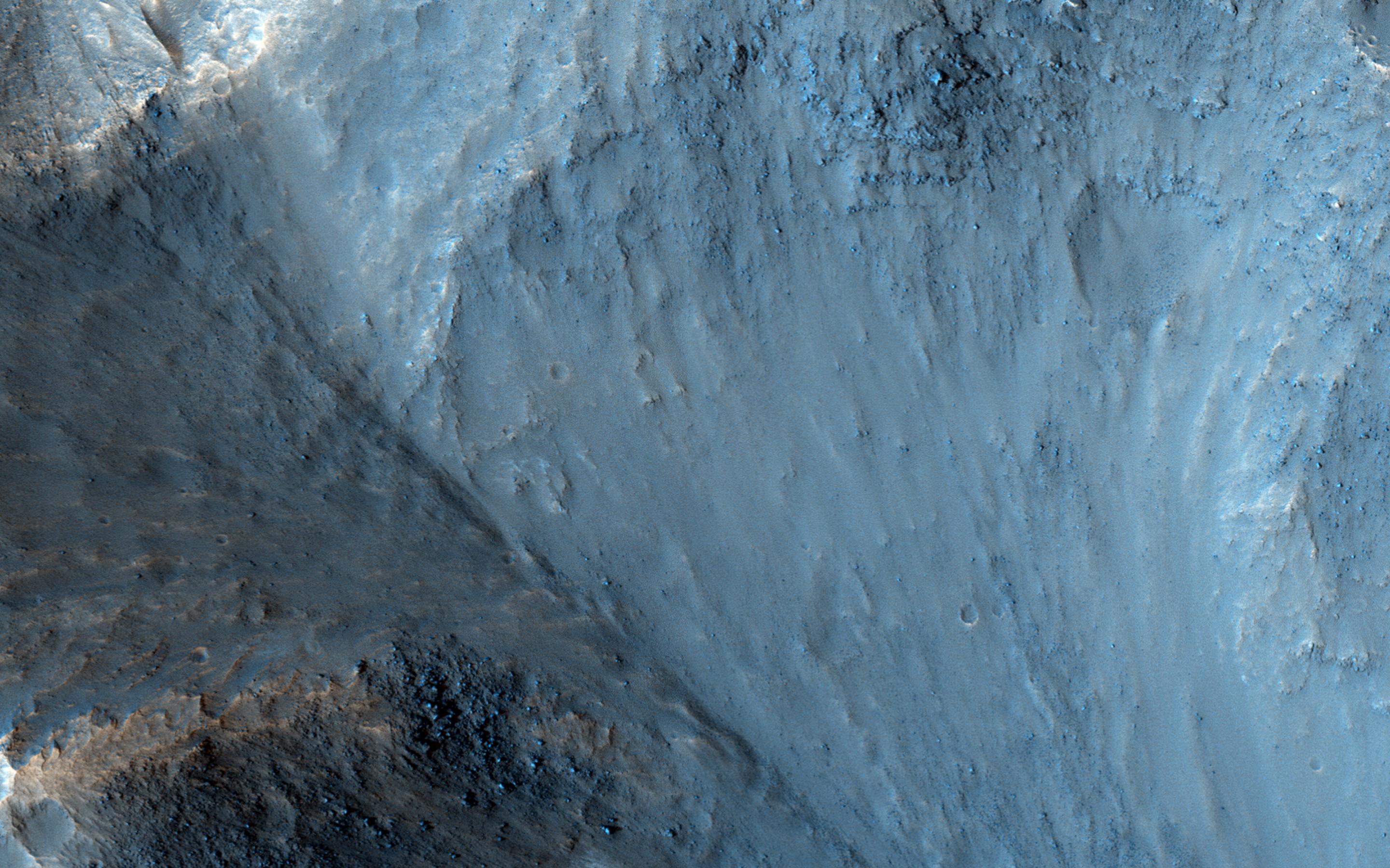
Osuga Valles lies around 170 kilometers to the south of Eos Chasma, which is at the eastern end of the vast Valles Marineris canyon system.
This is an outflow area, probably the result of ancient and catastrophic flooding. This image shows part of a deep pit at the end of the valley, filled with small hills.
The length of Osuga Valles is approximately 164 kilometers, at times reaching a width of 20 kilometers and 900 meters deep.
This is a stereo pair with ESP_039181_1650 .
Background Info:
The University of Arizona, Tucson, operates HiRISE, which was built by Ball Aerospace & Technologies Corp., Boulder, Colo. NASA's Jet Propulsion Laboratory, a division of the California Institute of Technology in Pasadena, manages the Mars Reconnaissance Orbiter Project for NASA's Science Mission Directorate, Washington.
Cataloging Keywords:
| Name | Value | Additional Values |
|---|---|---|
| Target | Mars | |
| System | ||
| Target Type | Planet | |
| Mission | Mars Reconnaissance Orbiter (MRO) | Mariner |
| Instrument Host | Mars Reconnaissance Orbiter | |
| Host Type | Orbiter | Flyby Spacecraft |
| Instrument | High Resolution Imaging Science Experiment (HiRISE) | |
| Detector | ||
| Extra Keywords | Color, Map | |
| Acquisition Date | ||
| Release Date | 2015-03-25 | |
| Date in Caption | ||
| Image Credit | NASA/JPL-Caltech/University of Arizona | |
| Source | photojournal.jpl.nasa.gov/catalog/PIA19352 | |
| Identifier | PIA19352 | |