|
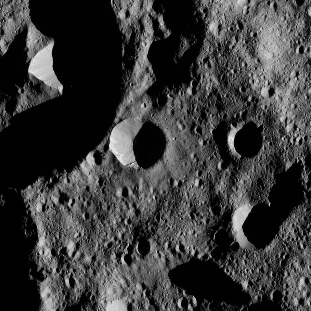
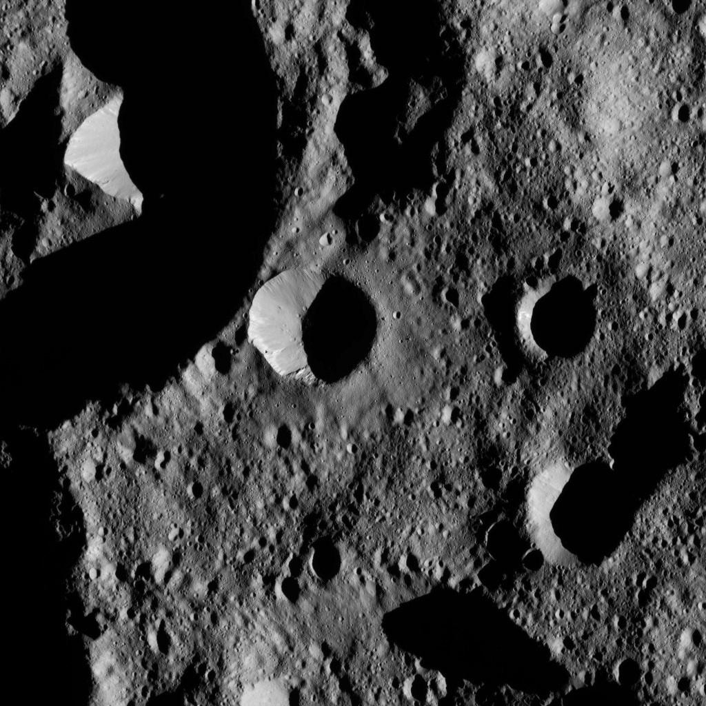
Dawn LAMO Image 177
- Click the image above for a larger view
- Full-Res JPEG (1024 x 1024) (185.4 kB)
- Full-Res TIFF (1024 x 1024) (898.8 kB)
Caption:
This view from NASA's Dawn spacecraft shows terrain in the northern hemisphere of Ceres, near Jarovit Crater.
Dawn took this image on June 2, 2016, from its low-altitude mapping orbit, at a distance of about 240 miles (385 kilometers) above the surface. The image resolution is 120 feet (35 meters) per pixel.
Background Info:
Dawn's mission is managed by JPL for NASA's Science Mission Directorate in Washington. Dawn is a project of the directorate's Discovery Program, managed by NASA's Marshall Space Flight Center in Huntsville, Alabama. UCLA is responsible for overall Dawn mission science. Orbital ATK, Inc., in Dulles, Virginia, designed and built the spacecraft. The German Aerospace Center, the Max Planck Institute for Solar System Research, the Italian Space Agency and the Italian National Astrophysical Institute are international partners on the mission team. For a complete list of mission participants, see http://dawn.jpl.nasa.gov/mission .
For more information about the Dawn mission, visit http://dawn.jpl.nasa.gov .
Cataloging Keywords:
| Name | Value | Additional Values |
|---|---|---|
| Target | 1 Ceres | |
| System | Main Belt | |
| Target Type | Dwarf Planet | Asteroid |
| Mission | Dawn | |
| Instrument Host | Dawn | |
| Host Type | Orbiter | |
| Instrument | Framing Camera (FC) | |
| Detector | ||
| Extra Keywords | Crater, Grayscale | |
| Acquisition Date | ||
| Release Date | 2016-09-22 | |
| Date in Caption | 2016-06-02 | |
| Image Credit | NASA/JPL-Caltech/UCLA/MPS/DLR/IDA | |
| Source | photojournal.jpl.nasa.gov/catalog/PIA20939 | |
| Identifier | PIA20939 | |