|
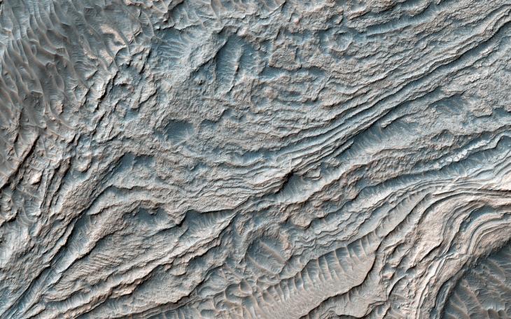
Clinoforms in Melas Chasma
- Click the image above for a larger view
- Full-Res JPEG (2880 x 1800) (1.1 MB)
- Full-Res TIFF (2880 x 1800) (15.6 MB)
Caption:
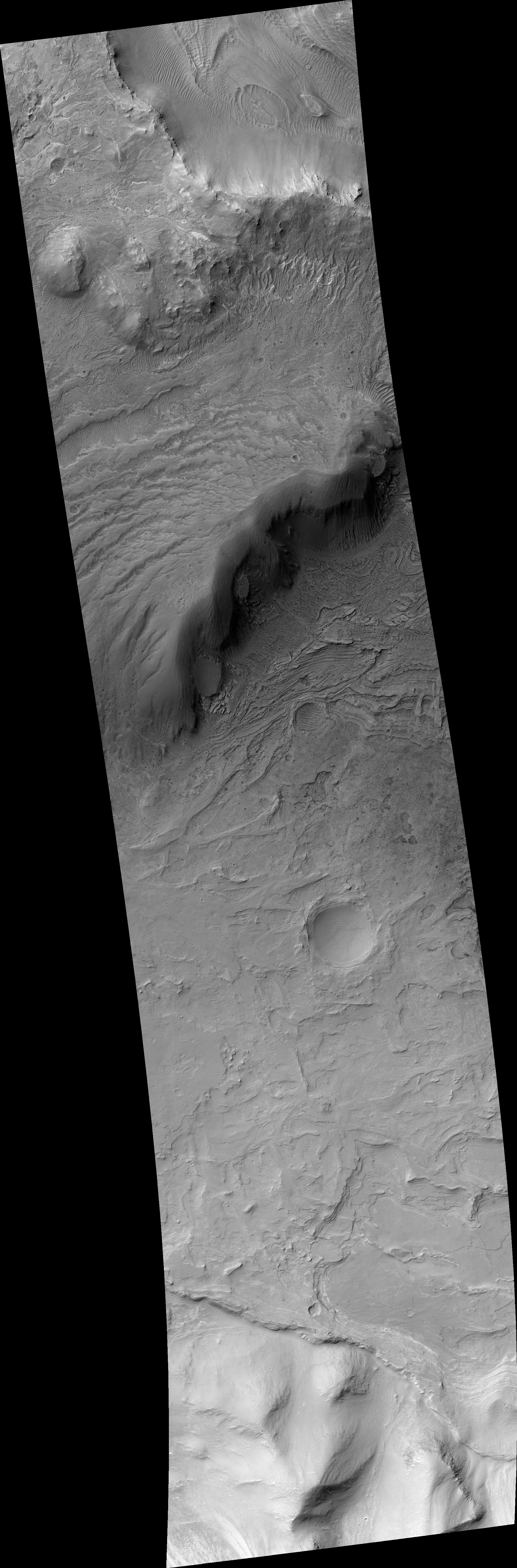
Map Projected Browse Image
Click on the image for larger version
In this image from NASA's Mars Reconnaissance Orbiter, a group of steeply inclined light-toned layers is bounded above and below by unconformities (sudden or irregular changes from one deposit to another) that indicate a "break" where erosion of pre-existing layers was taking place at a higher rate than deposition of new materials.
The layered deposits in Melas Basin may have been deposited during the growth of a delta complex. This depositional sequence likely represents a period where materials were being deposited on the floor of a lake or running river.
This is a stereo pair with PSP_007878_1700 .
The map is projected here at a scale of 25 centimeters (9.8 inches) per pixel. [The original image scale is 28.9 centimeters (11.4 inches) per pixel (with 1 x 1 binning); objects on the order of 87 centimeters (34.2 inches) across are resolved.] North is up.
Background Info:
The University of Arizona, Tucson, operates HiRISE, which was built by Ball Aerospace & Technologies Corp., Boulder, Colo. NASA's Jet Propulsion Laboratory, a division of Caltech in Pasadena, California, manages the Mars Reconnaissance Orbiter Project for NASA's Science Mission Directorate, Washington.
Cataloging Keywords:
| Name | Value | Additional Values |
|---|---|---|
| Target | Mars | |
| System | ||
| Target Type | Planet | |
| Mission | Mars Reconnaissance Orbiter (MRO) | |
| Instrument Host | Mars Reconnaissance Orbiter | |
| Host Type | Orbiter | |
| Instrument | High Resolution Imaging Science Experiment (HiRISE) | |
| Detector | ||
| Extra Keywords | Color, Map | |
| Acquisition Date | ||
| Release Date | 2017-04-10 | |
| Date in Caption | ||
| Image Credit | NASA/JPL-Caltech/Univ. of Arizona | |
| Source | photojournal.jpl.nasa.gov/catalog/PIA21580 | |
| Identifier | PIA21580 | |