
|
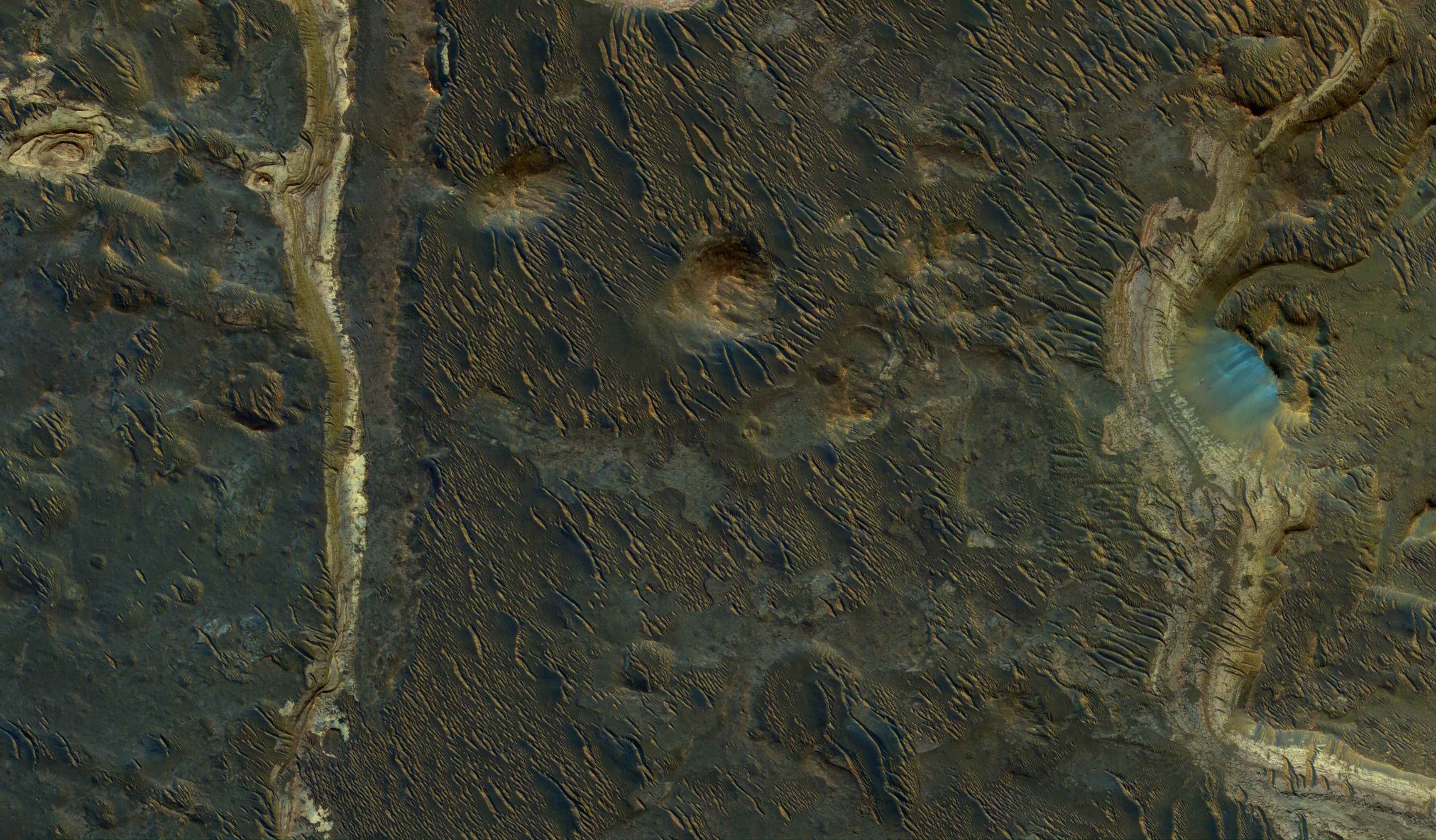
Lakebeds in Holden Crater
- Click the image above for a larger view
- Full-Res JPEG (3459 x 2024) (1.3 MB)
- Full-Res TIFF (3459 x 2024) (21.0 MB)
Caption:
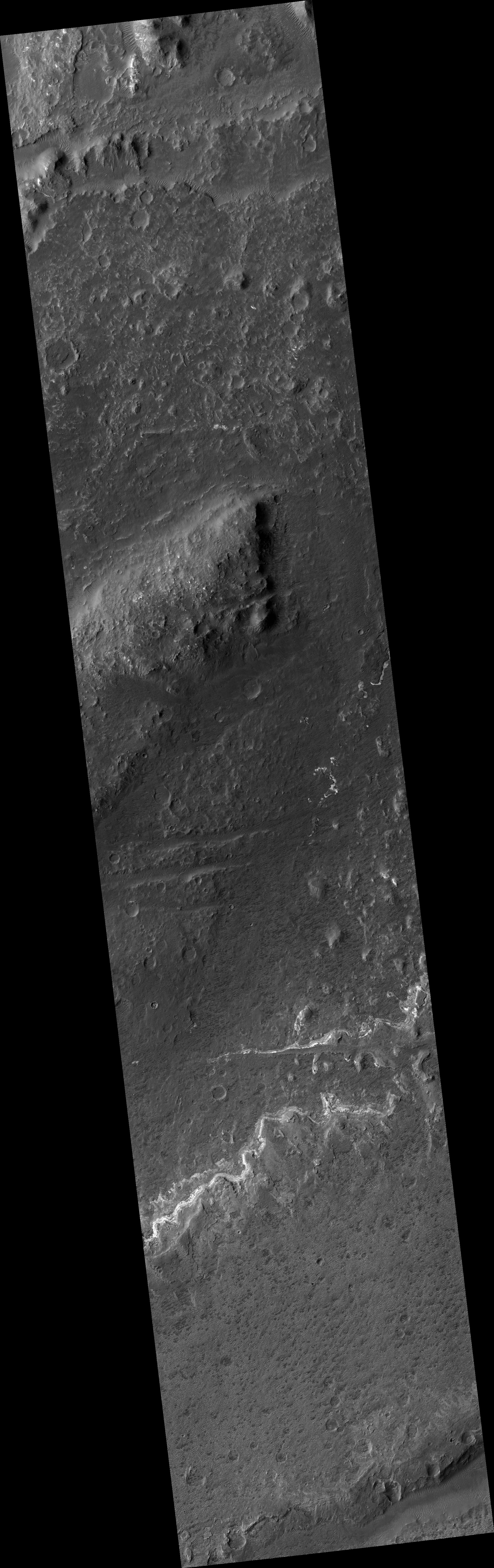
Map Projected Browse Image
Click on the image for larger version
Holden Crater was once filled by at least two different lakes. The sediments deposited in those lakes are relatively light-toned where exposed, as seen in this observation from NASA's Mars Reconnaissance Orbiter.
Each layer represents a different point in time and perhaps a changing environment for Martian life, if it existed. The elongated ridges with sharp crests are sand dunes.
The map is projected here at a scale of 25 centimeters (9.8 inches) per pixel. [The original image scale is 25.9 centimeters (10.2 inches) per pixel (with 1 x 1 binning); objects on the order of 78 centimeters (30.7 inches) across are resolved.] North is up.
Background Info:
The University of Arizona, Tucson, operates HiRISE, which was built by Ball Aerospace & Technologies Corp., Boulder, Colo. NASA's Jet Propulsion Laboratory, a division of Caltech in Pasadena, California, manages the Mars Reconnaissance Orbiter Project for NASA's Science Mission Directorate, Washington.
Cataloging Keywords:
| Name | Value | Additional Values |
|---|---|---|
| Target | Mars | |
| System | ||
| Target Type | Planet | |
| Mission | Mars Reconnaissance Orbiter (MRO) | |
| Instrument Host | Mars Reconnaissance Orbiter | |
| Host Type | Orbiter | |
| Instrument | High Resolution Imaging Science Experiment (HiRISE) | |
| Detector | ||
| Extra Keywords | Color, Crater, Dune, Map | |
| Acquisition Date | ||
| Release Date | 2017-04-13 | |
| Date in Caption | ||
| Image Credit | NASA/JPL-Caltech/Univ. of Arizona | |
| Source | photojournal.jpl.nasa.gov/catalog/PIA21587 | |
| Identifier | PIA21587 | |