
|
Crater Rim Layers, Rubble, and Gullies
- Click the image above for a larger view
- Full-Res JPEG (2880 x 1800) (1.1 MB)
- Full-Res TIFF (2880 x 1800) (15.6 MB)
Caption:
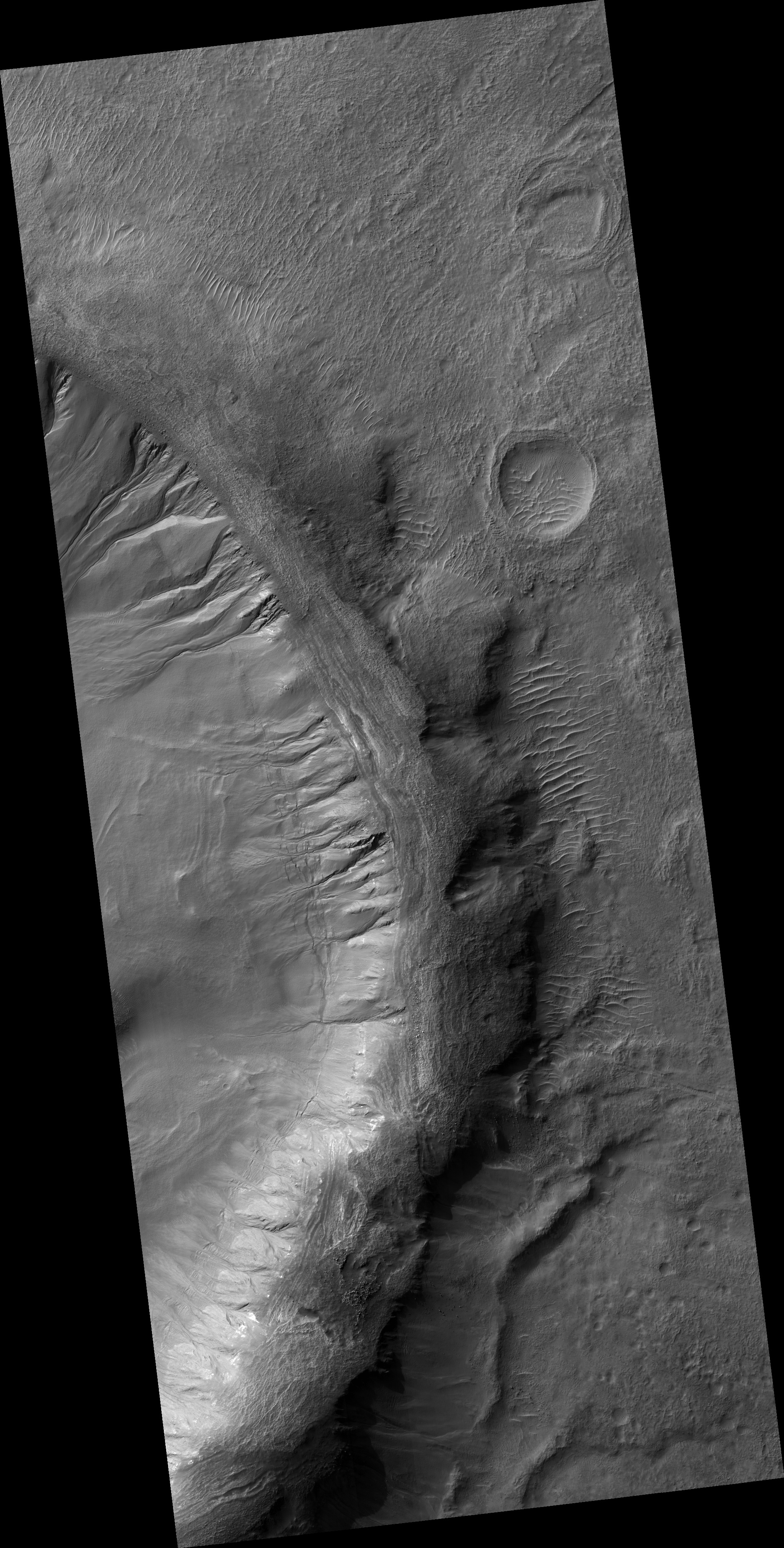
Map Projected Browse Image
Click on the image for larger version
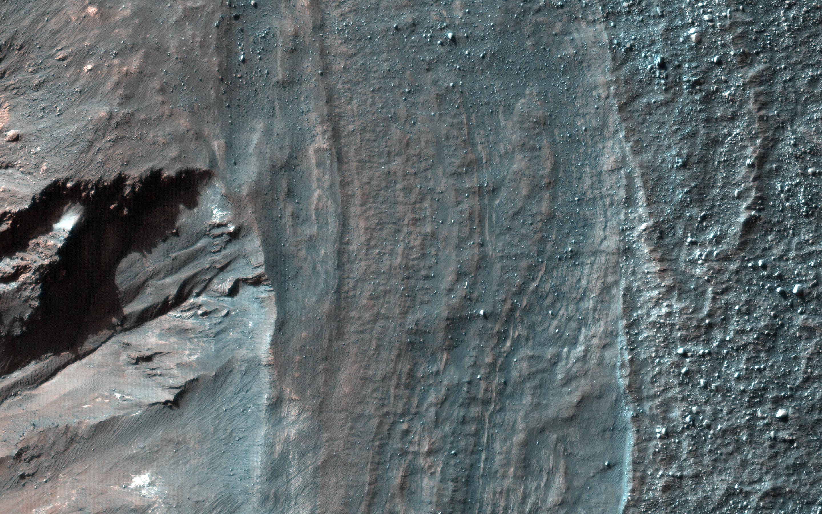
This observation from NASA's Mars Reconnaissance Orbiter shows a close view of the rim and upper wall of an impact crater on the Martian surface. The layers in enhanced color are exposed subsurface strata that are relatively resistant to erosion. Boulder-like rubble beyond the crater rim is scattered down the wall of the crater (down-slope is toward the lower left of the image).
Another feature of interest to Mars scientists is a large gully roughly 100 meters across. These gullies may have formed when water from melted ice on the crater walls, or from groundwater within the walls, assisted in transporting eroding material downslope.
The map is projected here at a scale of 25 centimeters (9.8 inches) per pixel. [The original image scale is 25.4 centimeters (10 inches) per pixel (with 1 x 1 binning); objects on the order of 76 centimeters (29.9 inches) across are resolved.] North is up.
Background Info:
The University of Arizona, Tucson, operates HiRISE, which was built by Ball Aerospace & Technologies Corp., Boulder, Colo. NASA's Jet Propulsion Laboratory, a division of Caltech in Pasadena, California, manages the Mars Reconnaissance Orbiter Project for NASA's Science Mission Directorate, Washington.
Cataloging Keywords:
| Name | Value | Additional Values |
|---|---|---|
| Target | Mars | |
| System | ||
| Target Type | Planet | |
| Mission | Mars Reconnaissance Orbiter (MRO) | |
| Instrument Host | Mars Reconnaissance Orbiter | |
| Host Type | Orbiter | |
| Instrument | High Resolution Imaging Science Experiment (HiRISE) | |
| Detector | ||
| Extra Keywords | Color, Crater, Impact, Map, Water | |
| Acquisition Date | ||
| Release Date | 2017-08-08 | |
| Date in Caption | ||
| Image Credit | NASA/JPL-Caltech/Univ. of Arizona | |
| Source | photojournal.jpl.nasa.gov/catalog/PIA21870 | |
| Identifier | PIA21870 | |