|
Opposing Dunes, Opposing Winds
- Click the image above for a larger view
- Full-Res JPEG (2880 x 1800) (780.7 kB)
- Full-Res TIFF (2880 x 1800) (15.0 MB)
Caption:
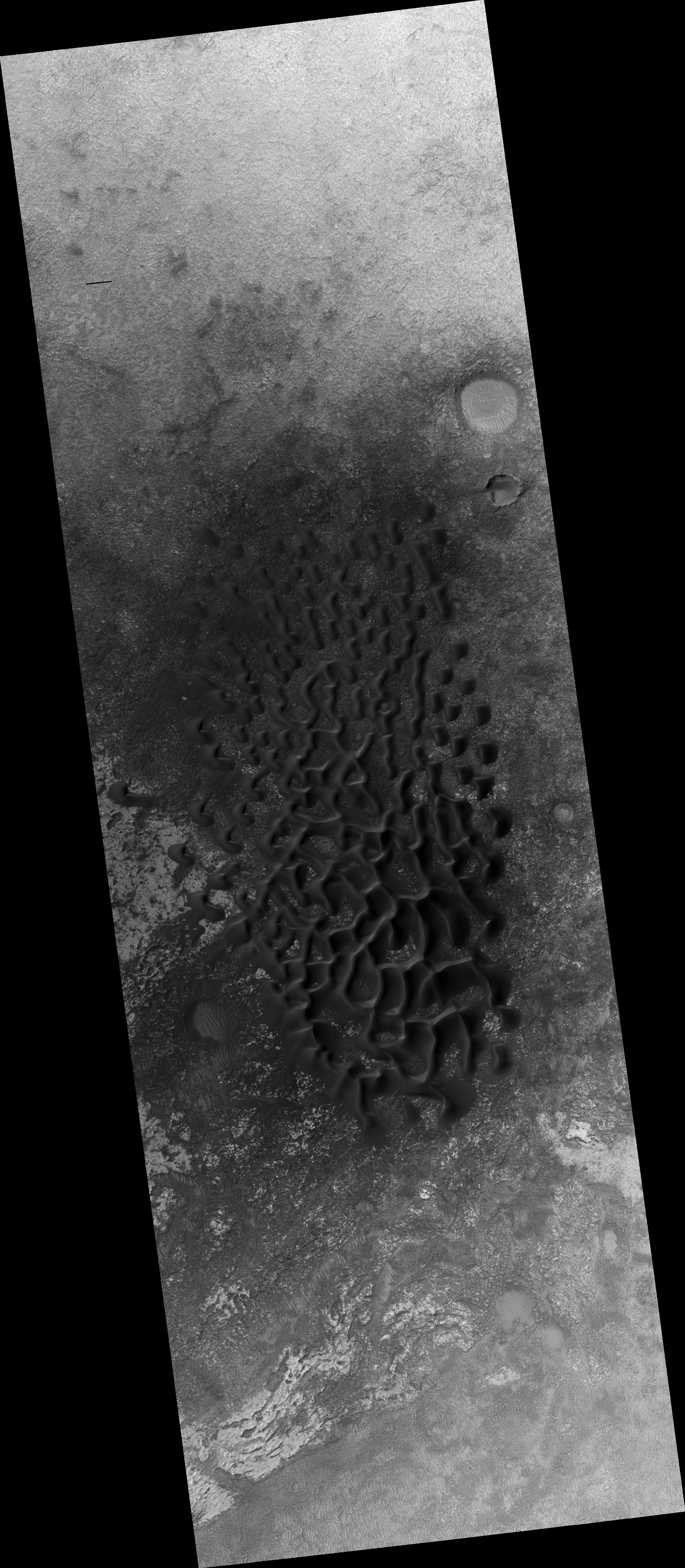
Map Projected Browse Image
Click on the image for larger version
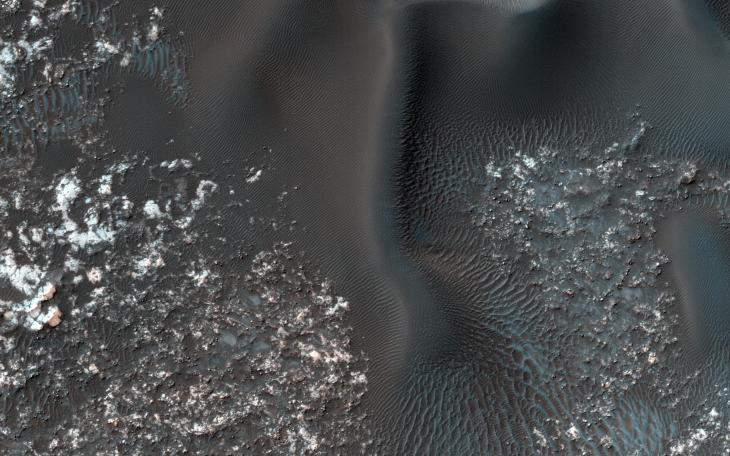
On the west (left) side of this image from NASA's Mars Reconnaissance Orbiter, fairly textbook-looking barchan sand dunes sit atop the bedrock. Barchan dunes pointing in the opposite direction are just a few kilometers away to the east.
In between these opposing barchan dunes are star dunes. Barchan dunes form when the sand-moving wind is fairly unidirectional. Star dunes, in contrast, form when the sand-moving wind comes from multiple directions -- not all at once, but from varying directions at different times of day or year.
Where is the sand coming from? As with most places on Mars...well, that's an area of on-going research. But the star dunes are telling us that this area seems to be accumulating sand.
The map is projected here at a scale of 50 centimeters (19.7 inches) per pixel. [The original image scale is 49.7 centimeters (19.6 inches) per pixel (with 2 x 2 binning); objects on the order of 149 centimeters (58.7 inches) across are resolved.] North is up.
Background Info:
The University of Arizona, Tucson, operates HiRISE, which was built by Ball Aerospace & Technologies Corp., Boulder, Colo. NASA's Jet Propulsion Laboratory, a division of Caltech in Pasadena, California, manages the Mars Reconnaissance Orbiter Project for NASA's Science Mission Directorate, Washington.
Cataloging Keywords:
| Name | Value | Additional Values |
|---|---|---|
| Target | Mars | |
| System | ||
| Target Type | Planet | |
| Mission | Mars Reconnaissance Orbiter (MRO) | |
| Instrument Host | Mars Reconnaissance Orbiter | |
| Host Type | Orbiter | |
| Instrument | High Resolution Imaging Science Experiment (HiRISE) | |
| Detector | ||
| Extra Keywords | Color, Dune, Map | |
| Acquisition Date | ||
| Release Date | 2017-09-04 | |
| Date in Caption | ||
| Image Credit | NASA/JPL-Caltech/Univ. of Arizona | |
| Source | photojournal.jpl.nasa.gov/catalog/PIA21934 | |
| Identifier | PIA21934 | |