
|
Ridges near Nirgal Valles
- Click the image above for a larger view
- Full-Res JPEG (2880 x 1800) (931.3 kB)
- Full-Res TIFF (2880 x 1800) (15.6 MB)
Caption:
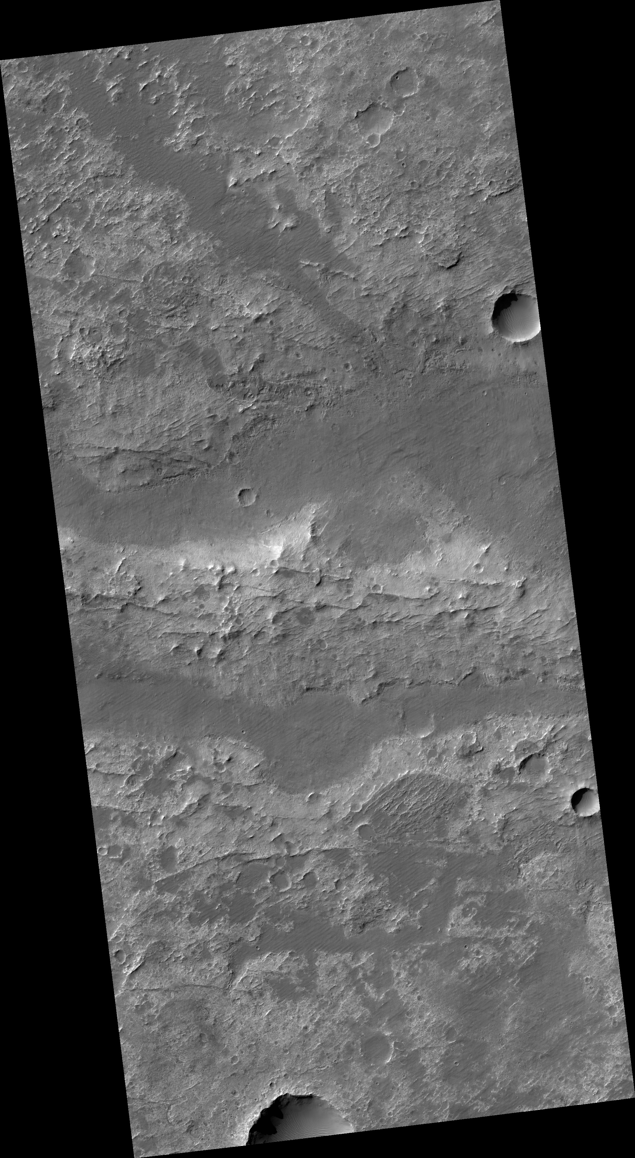
Map Projected Browse Image
Click on the image for larger version
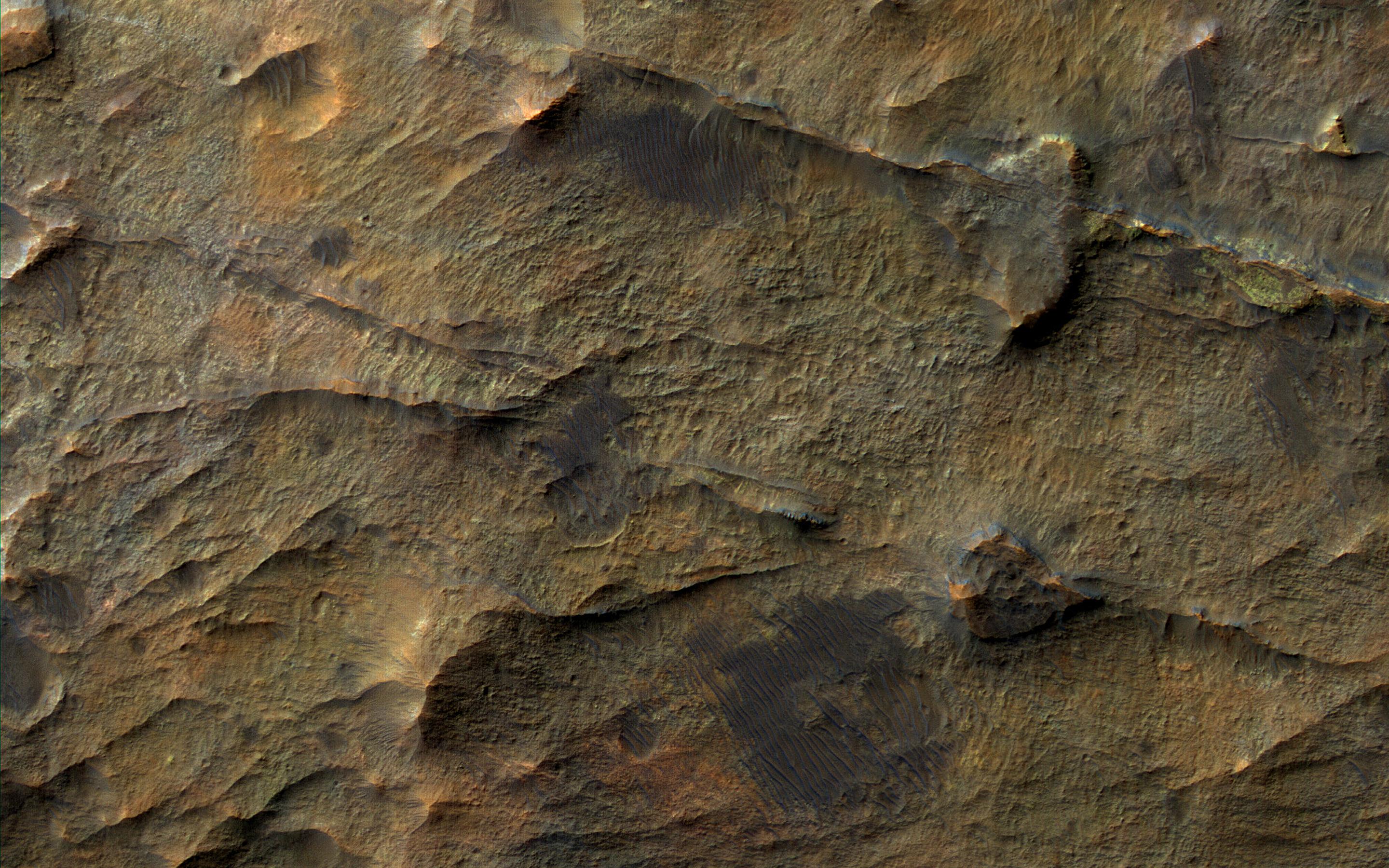
In this observation from NASA's Mars Reconnaissance Orbiter (MRO), we see a set of straight ridges in ancient bedrock near Nirgal Valles. The patterns indicate fractures from tectonic stresses, but how have they been hardened to now stand in positive relief after billions of years of erosion?
It is possible that groundwater flowed through the fractures, depositing various durable minerals, some of which we see in diverse colors .
The map is projected here at a scale of 25 centimeters (9.8 inches) per pixel. [The original image scale is 25.7 centimeters (10.1 inches) per pixel (with 1 x 1 binning); objects on the order of 77 centimeters (30.3 inches) across are resolved.] North is up.
Background Info:
The University of Arizona, Tucson, operates HiRISE, which was built by Ball Aerospace & Technologies Corp., Boulder, Colorado. NASA's Jet Propulsion Laboratory, a division of Caltech in Pasadena, California, manages the Mars Reconnaissance Orbiter Project for NASA's Science Mission Directorate, Washington.
Cataloging Keywords:
| Name | Value | Additional Values |
|---|---|---|
| Target | Mars | |
| System | ||
| Target Type | Planet | |
| Mission | Mars Reconnaissance Orbiter (MRO) | |
| Instrument Host | Mars Reconnaissance Orbiter | |
| Host Type | Orbiter | |
| Instrument | High Resolution Imaging Science Experiment (HiRISE) | |
| Detector | ||
| Extra Keywords | Color, Map, Water | |
| Acquisition Date | ||
| Release Date | 2018-03-06 | |
| Date in Caption | ||
| Image Credit | NASA/JPL-Caltech/Univ. of Arizona | |
| Source | photojournal.jpl.nasa.gov/catalog/PIA22333 | |
| Identifier | PIA22333 | |