skip to navigation

|
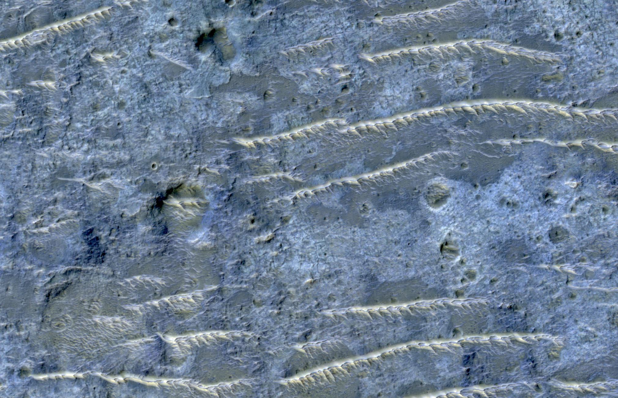
Channeled Southern Highlands
- Click the image above for a larger view
- Full-Res JPEG (2020 x 1301) (450.3 kB)
- Full-Res TIFF (2020 x 1301) (7.9 MB)
Caption:
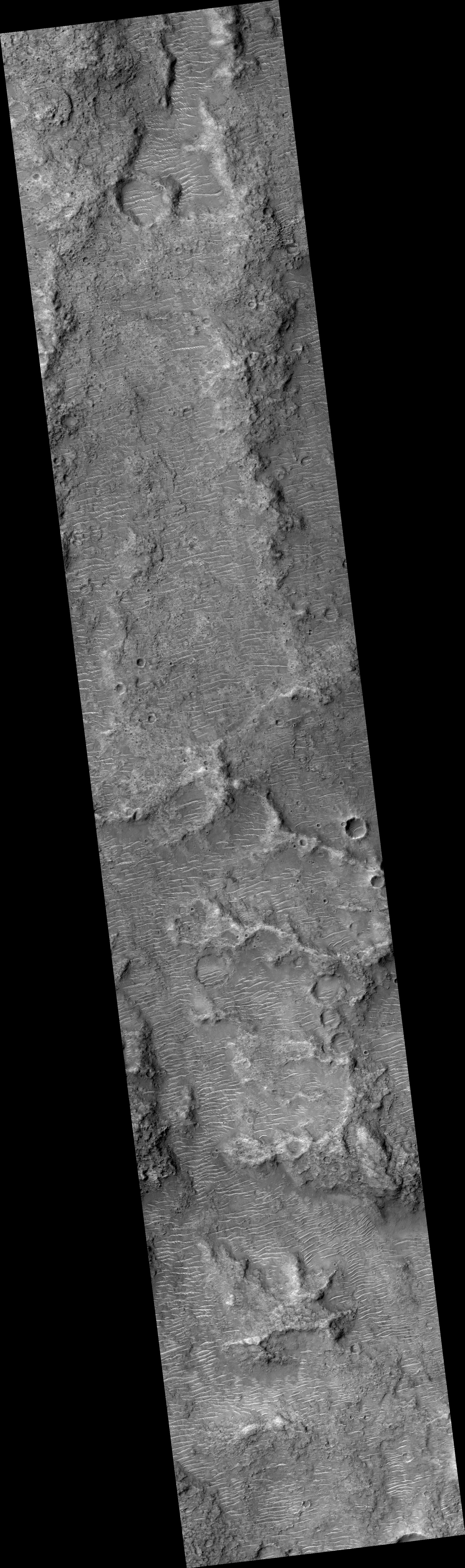
Map Projected Browse Image
Click on image for larger version
|
This enhanced color image from NASA's Mars Reconnaissance Orbiter (MRO) shows the heavily channeled and ancient southern highlands of Mars. The elongated and jagged features are windblown dunes, perhaps hardened and eroded.
Background Info:
The University of Arizona, Tucson, operates HiRISE, which was built by Ball Aerospace & Technologies Corp., Boulder, Colorado. NASA's Jet Propulsion Laboratory, a division of Caltech in Pasadena, California, manages the Mars Reconnaissance Orbiter Project for NASA's Science Mission Directorate, Washington.
Cataloging Keywords:
| Name | Value | Additional Values |
|---|---|---|
| Target | Mars | |
| System | ||
| Target Type | Planet | |
| Mission | Mars Reconnaissance Orbiter (MRO) | |
| Instrument Host | Mars Reconnaissance Orbiter | |
| Host Type | Orbiter | |
| Instrument | High Resolution Imaging Science Experiment (HiRISE) | |
| Detector | ||
| Extra Keywords | Color, Dune, Map | |
| Acquisition Date | ||
| Release Date | 2018-04-30 | |
| Date in Caption | ||
| Image Credit | NASA/JPL-Caltech/Univ. of Arizona | |
| Source | photojournal.jpl.nasa.gov/catalog/PIA22436 | |
| Identifier | PIA22436 | |