|
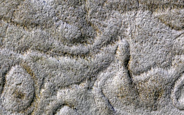
Curving Ridges and Pits
- Click the image above for a larger view
- Full-Res JPEG (2880 x 1800) (1.2 MB)
- Full-Res TIFF (2880 x 1800) (15.6 MB)
Caption:
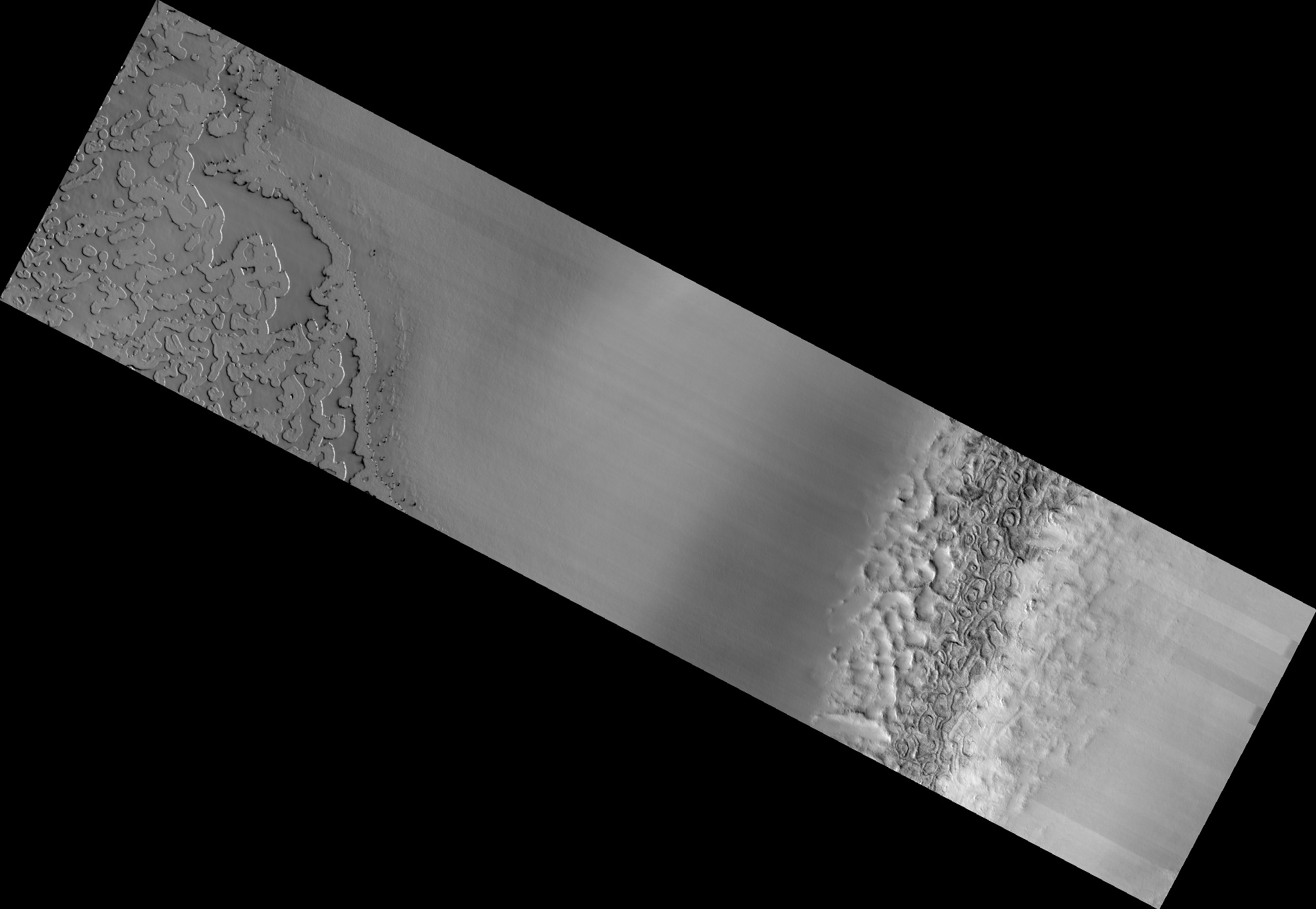
Map Projected Browse Image
Click on image for larger version
This terrain is unusual for the South Polar region of Mars, with a set of curved ridges of unknown origin .
Small pits are present, often concentrated on the ridges, that may have resulted from sublimation of ice.
The map is projected here at a scale of 25 centimeters (9.8 inches) per pixel. [The original image scale is 24.5 centimeters (9.6 inches) per pixel (with 1 x 1 binning); objects on the order of 73 centimeters (28.7 inches) across are resolved.] North is up.
Background Info:
The University of Arizona, Tucson, operates HiRISE, which was built by Ball Aerospace & Technologies Corp., Boulder, Colorado. NASA's Jet Propulsion Laboratory, a division of Caltech in Pasadena, California, manages the Mars Reconnaissance Orbiter Project for NASA's Science Mission Directorate, Washington.
Cataloging Keywords:
| Name | Value | Additional Values |
|---|---|---|
| Target | Mars | |
| System | ||
| Target Type | Planet | |
| Mission | Mars Reconnaissance Orbiter (MRO) | |
| Instrument Host | Mars Reconnaissance Orbiter | |
| Host Type | Orbiter | |
| Instrument | High Resolution Imaging Science Experiment (HiRISE) | |
| Detector | ||
| Extra Keywords | Color, Map | |
| Acquisition Date | ||
| Release Date | 2018-10-29 | |
| Date in Caption | ||
| Image Credit | NASA/JPL-Caltech/University of Arizona | |
| Source | photojournal.jpl.nasa.gov/catalog/PIA22803 | |
| Identifier | PIA22803 | |