|
Impact-Induced Dust Avalanches
- Click the image above for a larger view
- Full-Res JPEG (2880 x 1800) (1.2 MB)
- Full-Res TIFF (2880 x 1800) (15.6 MB)
Caption:
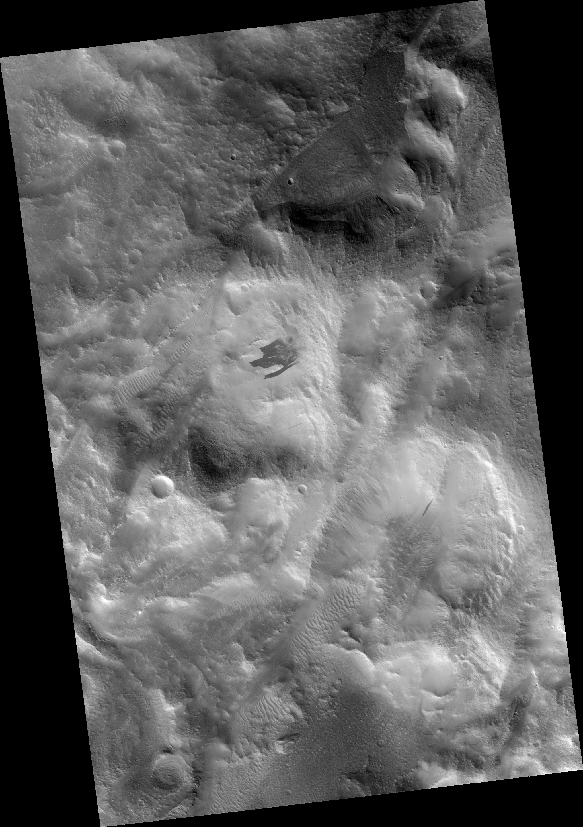
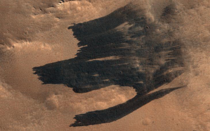
Map Projected Browse Image
Click on image for larger version
HiRISE has been imaging new dark features discovered by MRO's Context Camera, which are mostly new impact sites. In this scene we see what appears to be a new impact cluster and, extending downhill from the craters, new dark slope streaks .
These slope streaks are formed by dry dust avalanches. We've also seen large new dust avalanches associated with new impacts at previous locations .
The map is projected here at a scale of 25 centimeters (9.8 inches) per pixel. (The original image scale is 28.9 centimeters [11.4 inches] per pixel [with 1 x 1 binning]; objects on the order of 87 centimeters [34.3 inches] across are resolved.) North is up.
Background Info:
The University of Arizona, in Tucson, operates HiRISE, which was built by Ball Aerospace & Technologies Corp., in Boulder, Colorado. NASA's Jet Propulsion Laboratory, a division of Caltech in Pasadena, California, manages the Mars Reconnaissance Orbiter Project for NASA's Science Mission Directorate, Washington.
Cataloging Keywords:
| Name | Value | Additional Values |
|---|---|---|
| Target | Mars | |
| System | ||
| Target Type | Planet | |
| Mission | Mars Reconnaissance Orbiter (MRO) | |
| Instrument Host | Mars Reconnaissance Orbiter | |
| Host Type | Orbiter | |
| Instrument | High Resolution Imaging Science Experiment (HiRISE) | |
| Detector | ||
| Extra Keywords | Color, Crater, Dust, Impact, Map | |
| Acquisition Date | ||
| Release Date | 2019-04-16 | |
| Date in Caption | ||
| Image Credit | NASA/JPL-Caltech/University of Arizona | |
| Source | photojournal.jpl.nasa.gov/catalog/PIA23181 | |
| Identifier | PIA23181 | |