|
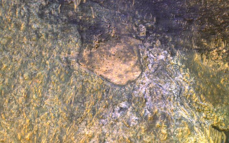
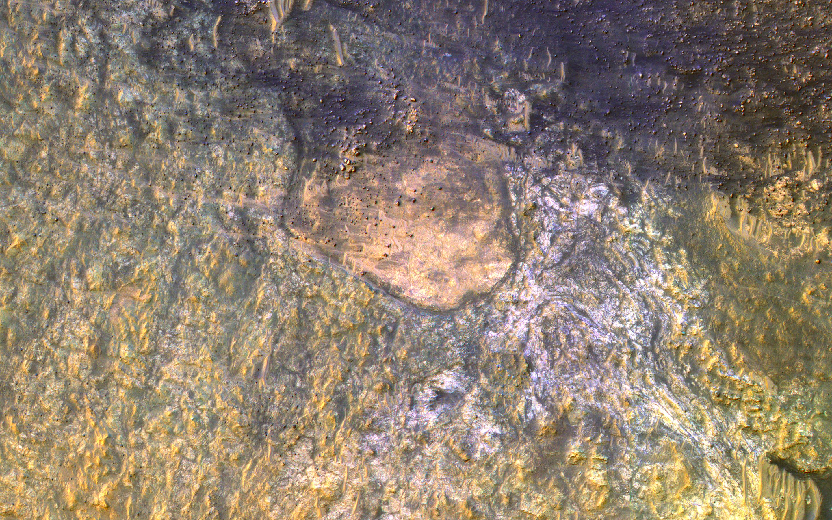
Bedrock on the Floor of Kaiser Crater
- Click the image above for a larger view
- Full-Res JPEG (2880 x 1800) (1.2 MB)
- Full-Res TIFF (2880 x 1800) (15.6 MB)
Caption:
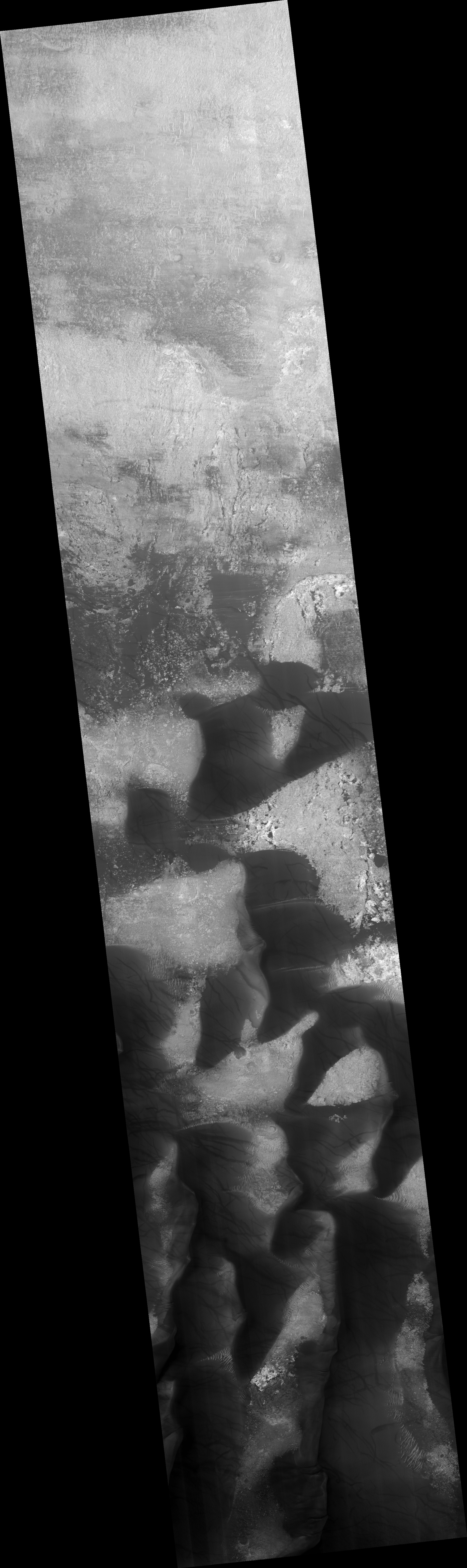
Map Projected Browse Image
Click on image for larger version
HiRISE has often imaged inside Kaiser Crater to monitor active sand dunes and gullies. Surrounding these dunes, we often find clean bedrock exposures , because the actively moving sand clears off the dust.
Kaiser Crater is 207 kilometers wide and was named after Frederik Kaiser, a Dutch astronomer (1808-1872).
The map is projected here at a scale of 50 centimeters (19.7 inches) per pixel. (The original image scale is 50.6 centimeters [19.9 inches] per pixel [with 2 x 2 binning]; objects on the order of 152 centimeters [59.8 inches] across are resolved.) North is up.
Background Info:
The University of Arizona, in Tucson, operates HiRISE, which was built by Ball Aerospace & Technologies Corp., in Boulder, Colorado. NASA's Jet Propulsion Laboratory, a division of Caltech in Pasadena, California, manages the Mars Reconnaissance Orbiter Project for NASA's Science Mission Directorate, Washington.
Cataloging Keywords:
| Name | Value | Additional Values |
|---|---|---|
| Target | Mars | |
| System | ||
| Target Type | Planet | |
| Mission | Mars Reconnaissance Orbiter (MRO) | |
| Instrument Host | Mars Reconnaissance Orbiter | |
| Host Type | Orbiter | |
| Instrument | High Resolution Imaging Science Experiment (HiRISE) | |
| Detector | ||
| Extra Keywords | Color, Crater, Dune, Dust, Map | |
| Acquisition Date | ||
| Release Date | 2019-04-16 | |
| Date in Caption | ||
| Image Credit | NASA/JPL-Caltech/University of Arizona | |
| Source | photojournal.jpl.nasa.gov/catalog/PIA23184 | |
| Identifier | PIA23184 | |