Subliming Ice
Caption:

Map Projected Browse Image
Click on image for larger version
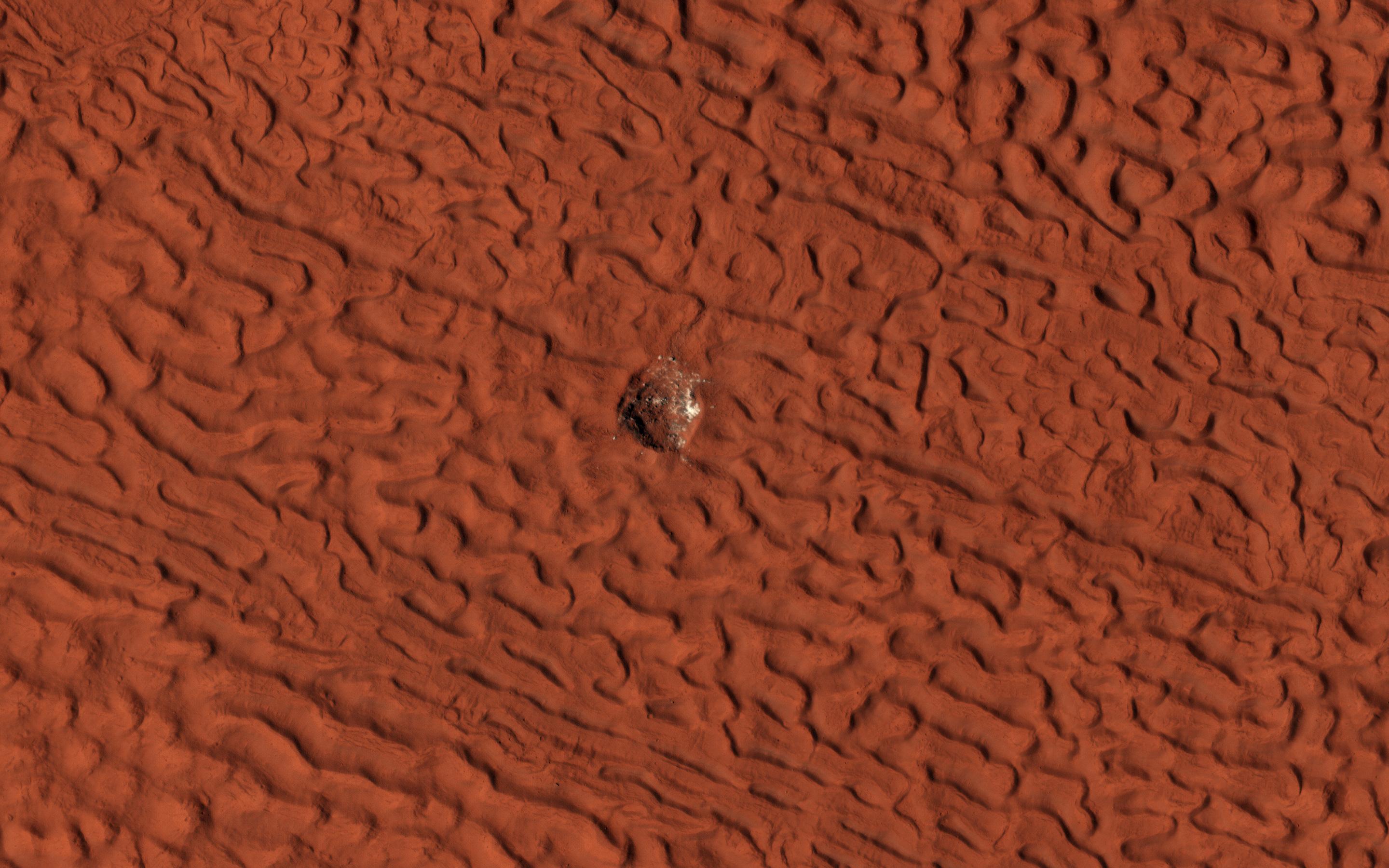
This enhanced-color image
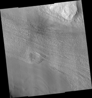
shows a 45-meter-diameter crater that formed sometime between October 2010 and May 2012 in so-called "brain" terrain on Mars. HiRISE has been monitoring this crater to look for changes in the bright icy material exposed in the crater wall and some of the ejecta blocks.
This material is interpreted as water ice because its extent changes with time, consistent with slow sublimation caused by solar heating. (Sublimation is the process when a solid converts directly into a gaseous state.) By comparing this image with another one (
ESP_046707_2220
) taken in July 2016, we see that some of the ejecta blocks have vanished since then. It appears that fresh ice has been exposed on the east wall of the crater since 2016, perhaps due to slumping of dirty material. When we apply different color enhancements to these two images, we see that the color of the scene did not actually change much.
The map is projected here at a scale of 25 centimeters (9.8 inches) per pixel. (The original image scale is 29.7 centimeters [11.7 inches] per pixel [with 1 x 1 binning] to 59.5 centimeters [23.4 inches] per pixel [with 2 x 2 binning]) North is up.
Background Info:
The University of Arizona, in Tucson, operates HiRISE, which was built by Ball Aerospace & Technologies Corp., in Boulder, Colorado. NASA's Jet Propulsion Laboratory, a division of Caltech in Pasadena, California, manages the Mars Reconnaissance Orbiter Project for NASA's Science Mission Directorate, Washington.
Cataloging Keywords:
| Name |
Value |
Additional Values |
| Target |
Mars |
|
| System |
|
|
| Target Type |
Planet |
|
| Mission |
Mars Reconnaissance Orbiter (MRO) |
|
| Instrument Host |
Mars Reconnaissance Orbiter |
|
| Host Type |
Orbiter |
|
| Instrument |
High Resolution Imaging Science Experiment (HiRISE) |
|
| Detector |
|
|
| Extra Keywords |
Color, Crater, Map, Water |
| Acquisition Date |
|
| Release Date |
2019-09-19 |
| Date in Caption |
|
|
| Image Credit |
NASA/JPL-Caltech/University of Arizona |
| Source |
photojournal.jpl.nasa.gov/catalog/PIA23477 |
| Identifier |
PIA23477 |

 Planetary Data System

