
|
Mounds Cut by a Fissure
- Click the image above for a larger view
- Full-Res JPEG (2880 x 1800) (1.3 MB)
- Full-Res TIFF (2880 x 1800) (5.2 MB)
Caption:
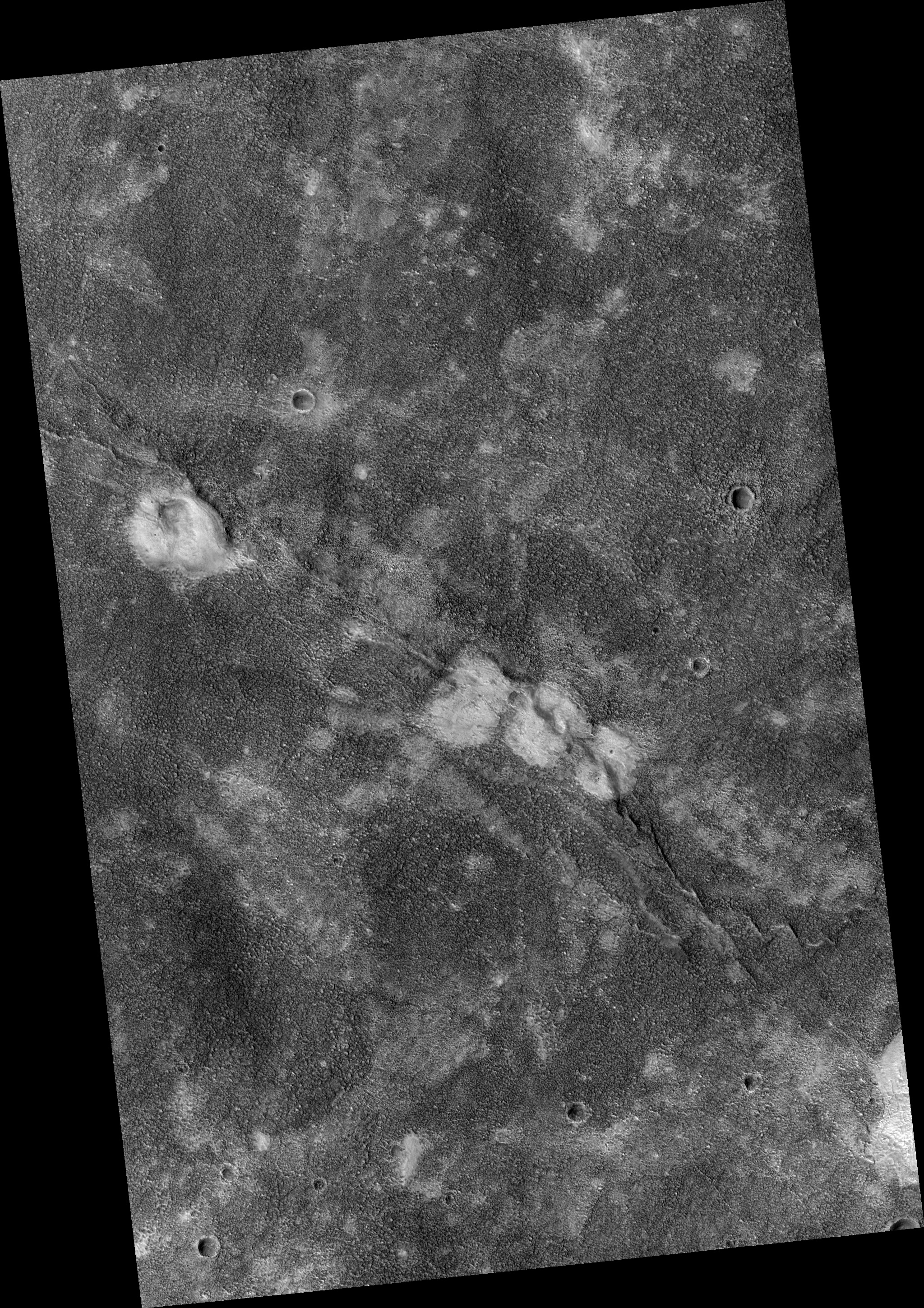
Map Projected Browse Image
Click on image for larger version
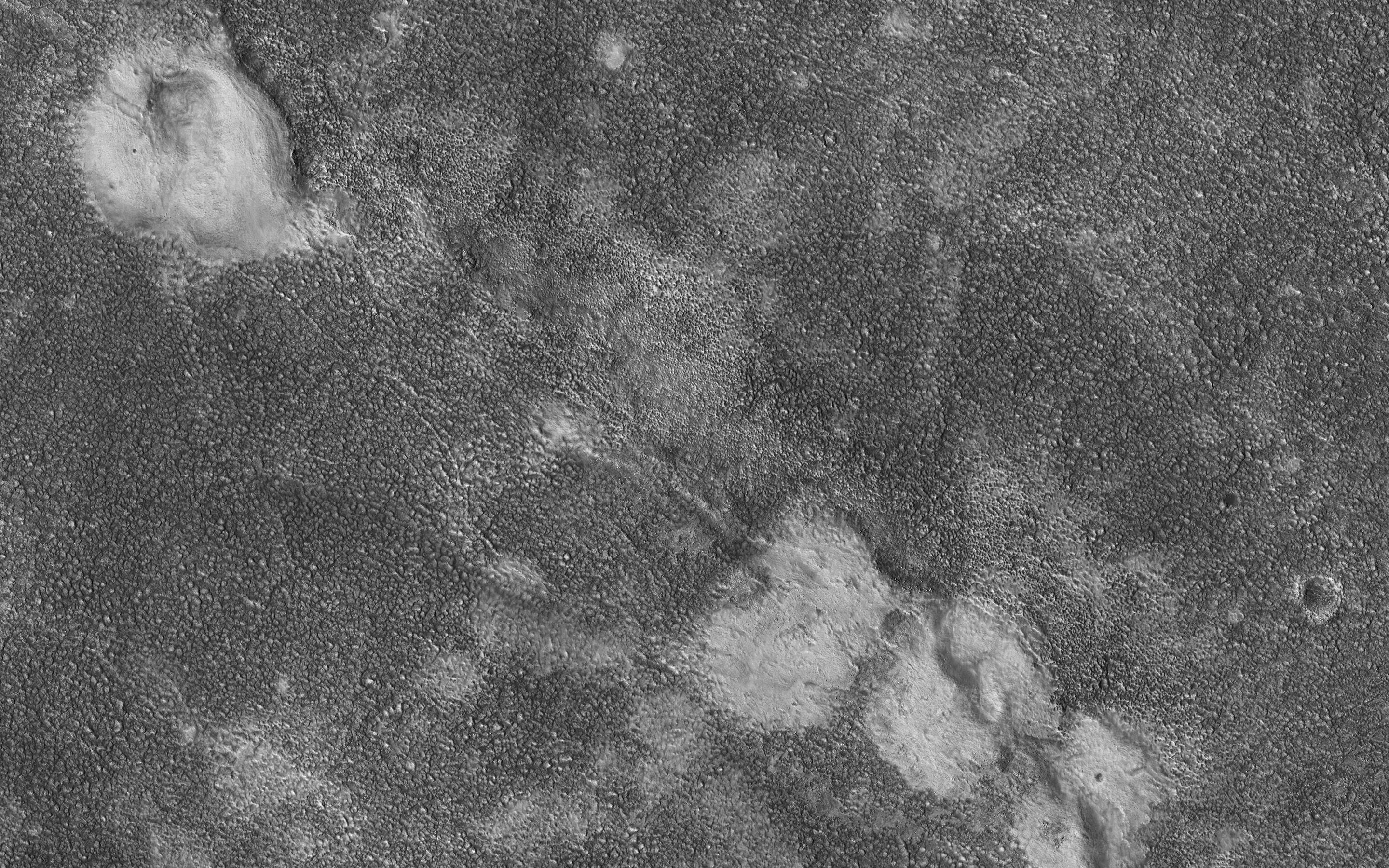
This image shows four relatively bright mounds along a linear, curving feature that appears to be a rift zone, where the shallow surface materials have pulled apart. The mounds also appear to be deformed.
A possible geologic interpretation is that as the rift began to open, subsurface material (perhaps mud) erupted to create the mounds, which were then deformed as the rift continued to spread. This region (Chryse Planitia) is a low-elevation basin in which large outflow channels deposited water and sediments billions of years ago.
The map is projected here at a scale of 25 centimeters (9.8 inches) per pixel. (The original image scale is 30.5 centimeters [12.0 inches] per pixel [with 1 x 1 binning]; objects on the order of 92 centimeters [36.2 inches] across are resolved.) North is up.
Background Info:
The University of Arizona, in Tucson, operates HiRISE, which was built by Ball Aerospace & Technologies Corp., in Boulder, Colorado. NASA's Jet Propulsion Laboratory, a division of Caltech in Pasadena, California, manages the Mars Reconnaissance Orbiter Project for NASA's Science Mission Directorate, Washington.
Cataloging Keywords:
| Name | Value | Additional Values |
|---|---|---|
| Target | Mars | |
| System | ||
| Target Type | Planet | |
| Mission | Mars Reconnaissance Orbiter (MRO) | |
| Instrument Host | Mars Reconnaissance Orbiter | |
| Host Type | Orbiter | |
| Instrument | High Resolution Imaging Science Experiment (HiRISE) | |
| Detector | ||
| Extra Keywords | Color, Map, Water | |
| Acquisition Date | ||
| Release Date | 2020-01-21 | |
| Date in Caption | ||
| Image Credit | NASA/JPL-Caltech/University of Arizona | |
| Source | photojournal.jpl.nasa.gov/catalog/PIA23672 | |
| Identifier | PIA23672 | |