
|
Exquisite Layering
- Click the image above for a larger view
- Full-Res JPEG (2880 x 1800) (898.3 kB)
- Full-Res TIFF (2880 x 1800) (15.6 MB)
Caption:
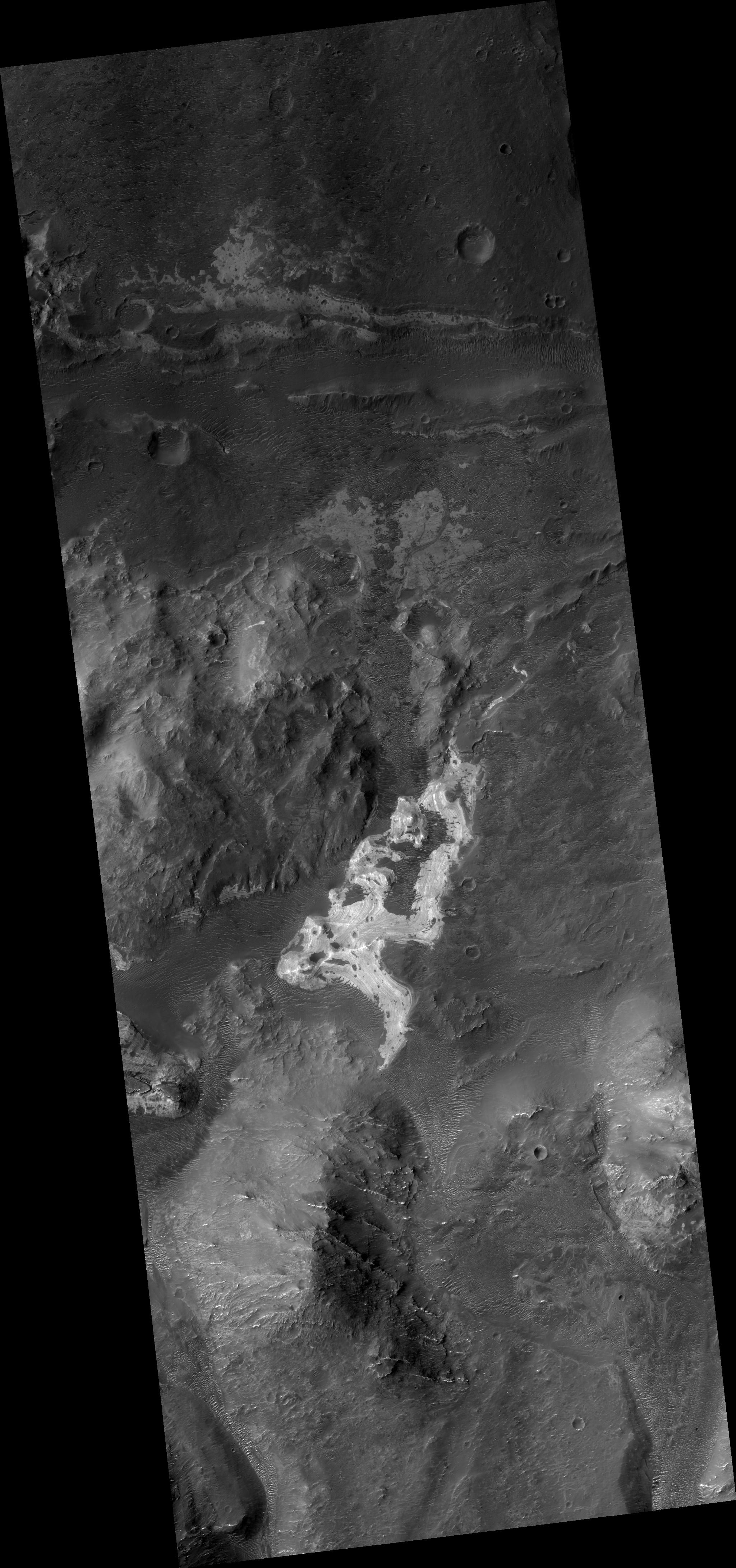
Map Projected Browse Image
Click on image for larger version
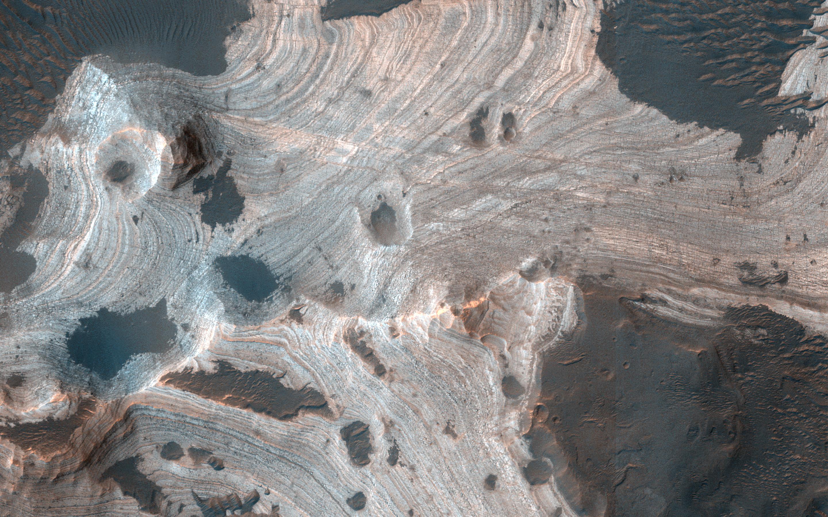
Much of Mars is covered by sand and dust but in some places stacks of sedimentary layers are visible. In this image , exquisite layering is revealed emerging from the sand in southern Holden Crater. Sequences like these offer a window into Mars' complicated geologic history.
Holden Crater was once a candidate landing area for the Mars Science Laboratory, and is still an intriguing choice today.
The map is projected here at a scale of 50 centimeters (19.7 inches) per pixel. (The original image scale is 52.2 centimeters [20.6 inches] per pixel [with 2 x 2 binning]; objects on the order of 157 centimeters [61.8 inches] across are resolved.) North is up.
Background Info:
The University of Arizona, in Tucson, operates HiRISE, which was built by Ball Aerospace & Technologies Corp., in Boulder, Colorado. NASA's Jet Propulsion Laboratory, a division of Caltech in Pasadena, California, manages the Mars Reconnaissance Orbiter Project for NASA's Science Mission Directorate, Washington.
Cataloging Keywords:
| Name | Value | Additional Values |
|---|---|---|
| Target | Mars | |
| System | ||
| Target Type | Planet | |
| Mission | Mars Reconnaissance Orbiter (MRO) | Mars Science Laboratory (MSL) |
| Instrument Host | Mars Reconnaissance Orbiter | Curiosity Rover |
| Host Type | Orbiter | Rover |
| Instrument | High Resolution Imaging Science Experiment (HiRISE) | |
| Detector | ||
| Extra Keywords | Color, Crater, Dust, Map | |
| Acquisition Date | ||
| Release Date | 2020-06-02 | |
| Date in Caption | ||
| Image Credit | NASA/JPL-Caltech/University of Arizona | |
| Source | photojournal.jpl.nasa.gov/catalog/PIA23952 | |
| Identifier | PIA23952 | |