|
A Martian Dust Avalanche
- Click the image above for a larger view
- Full-Res JPEG (2880 x 1800) (865.3 kB)
- Full-Res TIFF (2880 x 1800) (15.1 MB)
Caption:
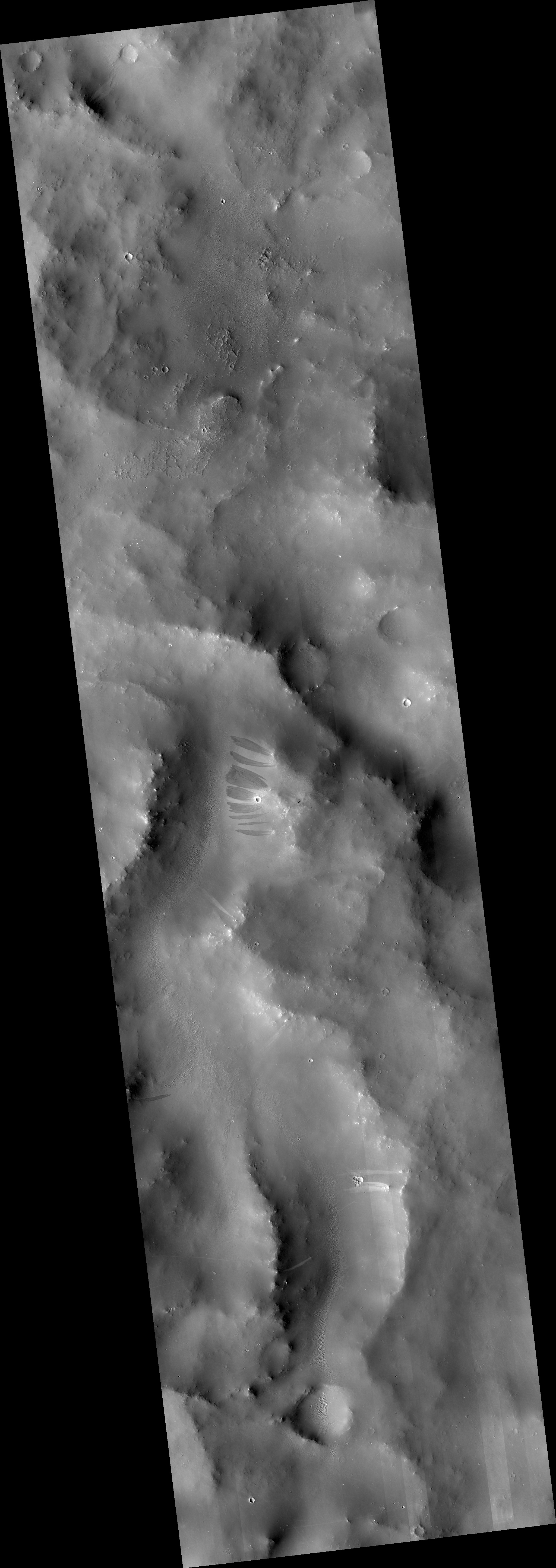
Map Projected Browse Image
Click on image for larger version
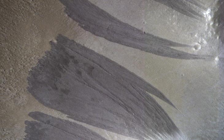
Relatively dark slope streaks are common on steep dust-mantled slopes of Mars. When imaged under high sun illumination they appear to be just a dark stain without topographic relief.
However, when imaged with the sun low in the sky (and at high resolution), we can clearly see the topographic signature . Surface material has been removed from the upper slopes and deposited in lobes, as expected from landslides (also called "mass movements").
The map is projected here at a scale of 25 centimeters (9.8 inches) per pixel. (The original image scale is 27.7 centimeters [10.9 inches] per pixel [with 1 x 1 binning]; objects on the order of 83 centimeters [32.7 inches] across are resolved.) North is up.
Background Info:
The University of Arizona, in Tucson, operates HiRISE, which was built by Ball Aerospace & Technologies Corp., in Boulder, Colorado. NASA's Jet Propulsion Laboratory, a division of Caltech in Pasadena, California, manages the Mars Reconnaissance Orbiter Project for NASA's Science Mission Directorate, Washington.
Cataloging Keywords:
| Name | Value | Additional Values |
|---|---|---|
| Target | Mars | |
| System | ||
| Target Type | Planet | |
| Mission | Mars Reconnaissance Orbiter (MRO) | |
| Instrument Host | Mars Reconnaissance Orbiter | |
| Host Type | Orbiter | |
| Instrument | High Resolution Imaging Science Experiment (HiRISE) | |
| Detector | ||
| Extra Keywords | Color, Dust, Map | |
| Acquisition Date | ||
| Release Date | 2021-06-25 | |
| Date in Caption | ||
| Image Credit | NASA/JPL-Caltech/University of Arizona | |
| Source | photojournal.jpl.nasa.gov/catalog/PIA24692 | |
| Identifier | PIA24692 | |