|
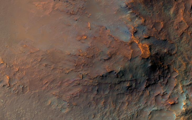
A Colorful Landslide in Eos Chasma
- Click the image above for a larger view
- Full-Res JPEG (2880 x 1800) (663.0 kB)
- Full-Res TIFF (2880 x 1800) (15.6 MB)
Caption:
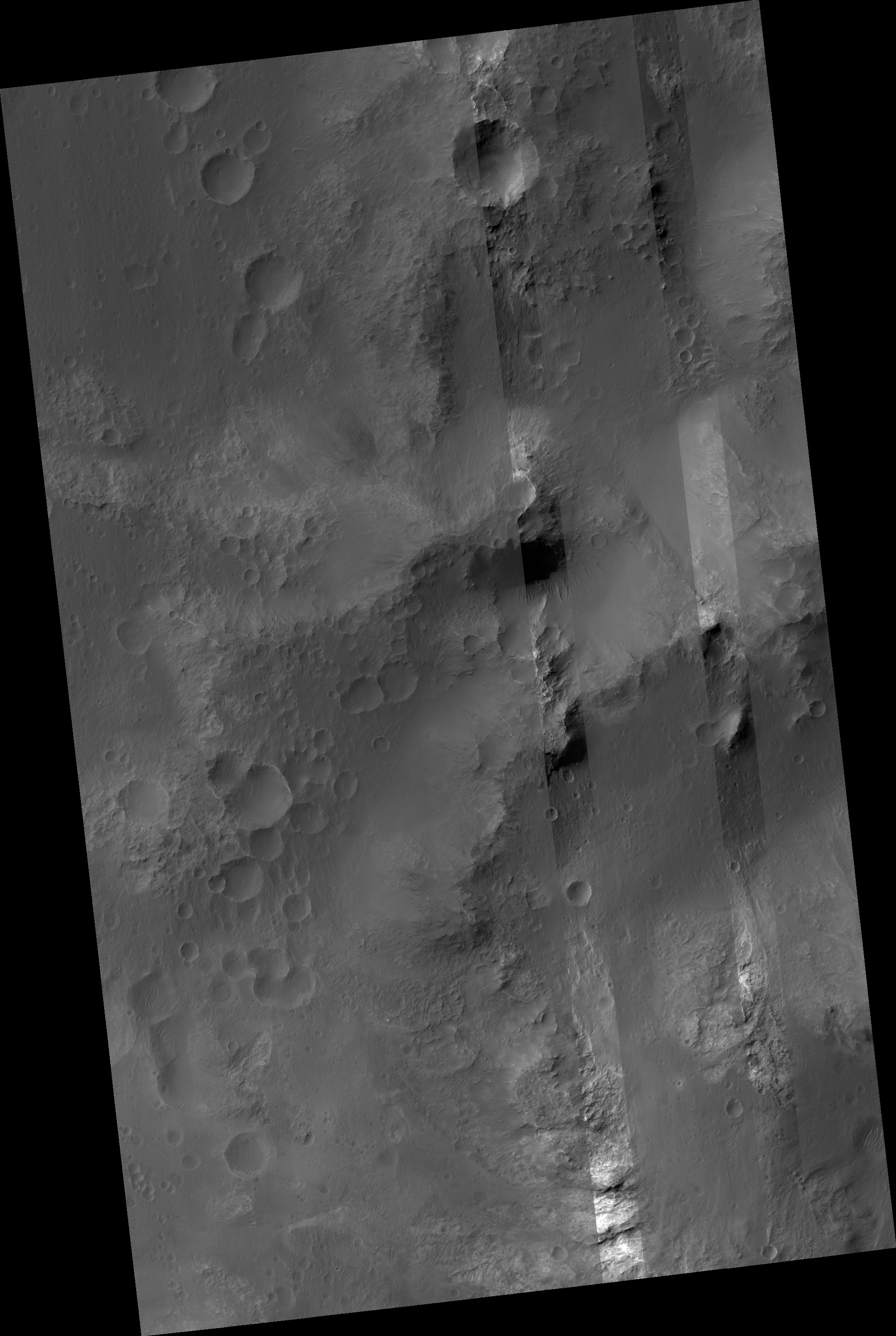
Map Projected Browse Image
Click on image for larger version
This image was requested in the very first month of MRO's Primary Science Phase, November 2006. Due to many competing targets in the Valles Marineris canyon system, it took nearly 15 years to acquire. But it was worth the wait!
A massive landslide has transported diverse rocks from the canyon's wall layers down onto its floor, jumbling them up in the process. Lower-resolution infrared data had previously revealed an unusual concentration of the igneous mineral orthopyroxene at this location. The range of colors visible to HiRISE implies that many other minerals are present here as well.
The map is projected here at a scale of 25 centimeters (9.8 inches) per pixel. (The original image scale is 26.6 centimeters [10.5 inches] per pixel [with 1 x 1 binning]; objects on the order of 80 centimeters [31.5 inches] across are resolved.) North is up.
Background Info:
The University of Arizona, in Tucson, operates HiRISE, which was built by Ball Aerospace & Technologies Corp., in Boulder, Colorado. NASA's Jet Propulsion Laboratory, a division of Caltech in Pasadena, California, manages the Mars Reconnaissance Orbiter Project for NASA's Science Mission Directorate, Washington.
Cataloging Keywords:
| Name | Value | Additional Values |
|---|---|---|
| Target | Mars | |
| System | ||
| Target Type | Planet | |
| Mission | Mars Reconnaissance Orbiter (MRO) | Mariner |
| Instrument Host | Mars Reconnaissance Orbiter | |
| Host Type | Orbiter | Flyby Spacecraft |
| Instrument | High Resolution Imaging Science Experiment (HiRISE) | |
| Detector | ||
| Extra Keywords | Color, Infrared, Map | |
| Acquisition Date | ||
| Release Date | 2021-09-29 | |
| Date in Caption | ||
| Image Credit | NASA/JPL-Caltech/University of Arizona | |
| Source | photojournal.jpl.nasa.gov/catalog/PIA24913 | |
| Identifier | PIA24913 | |