
|
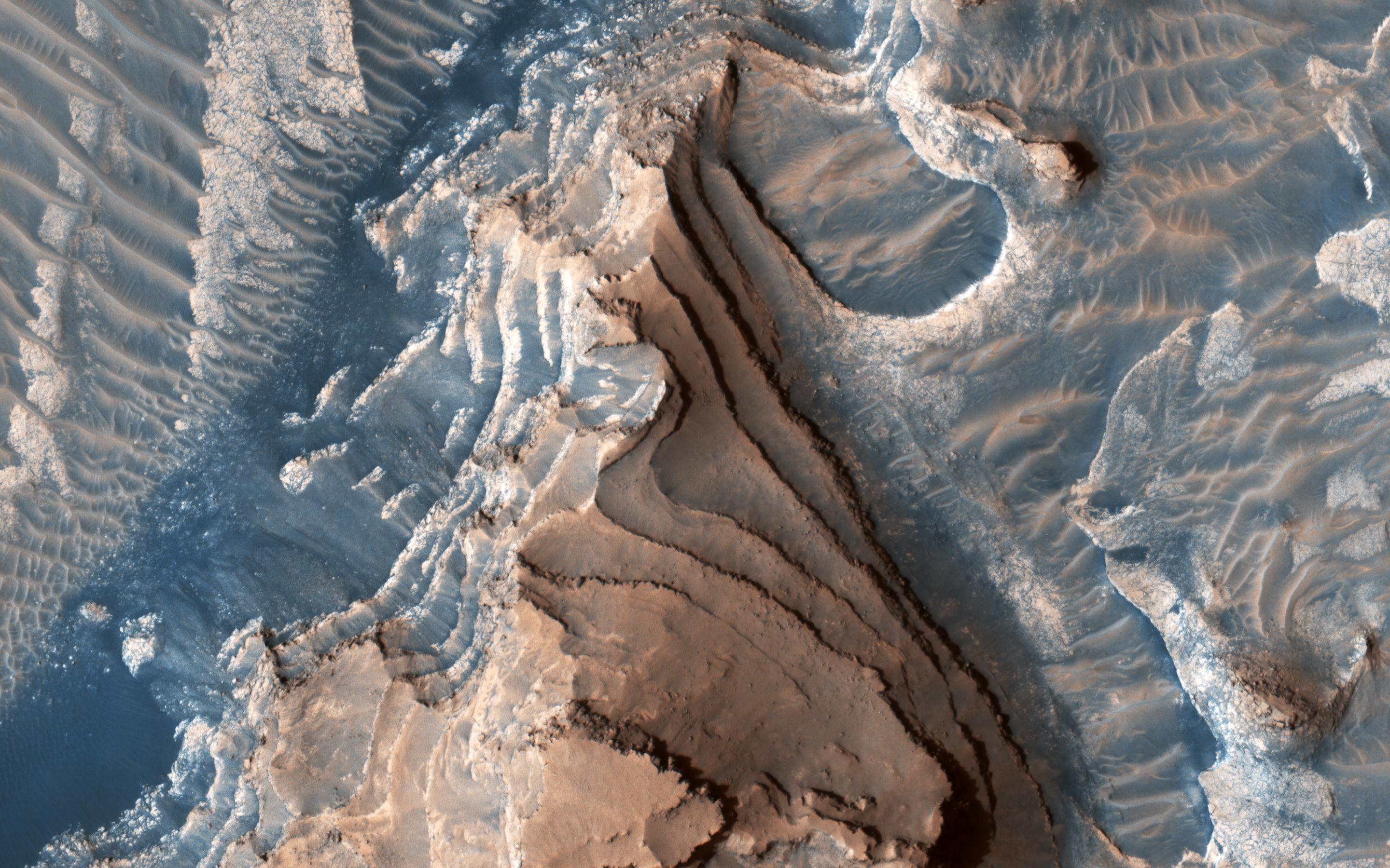
Layered Bedrock
- Click the image above for a larger view
- Full-Res JPEG (2880 x 1800) (757.3 kB)
- Full-Res TIFF (2880 x 1800) (15.6 MB)
Caption:
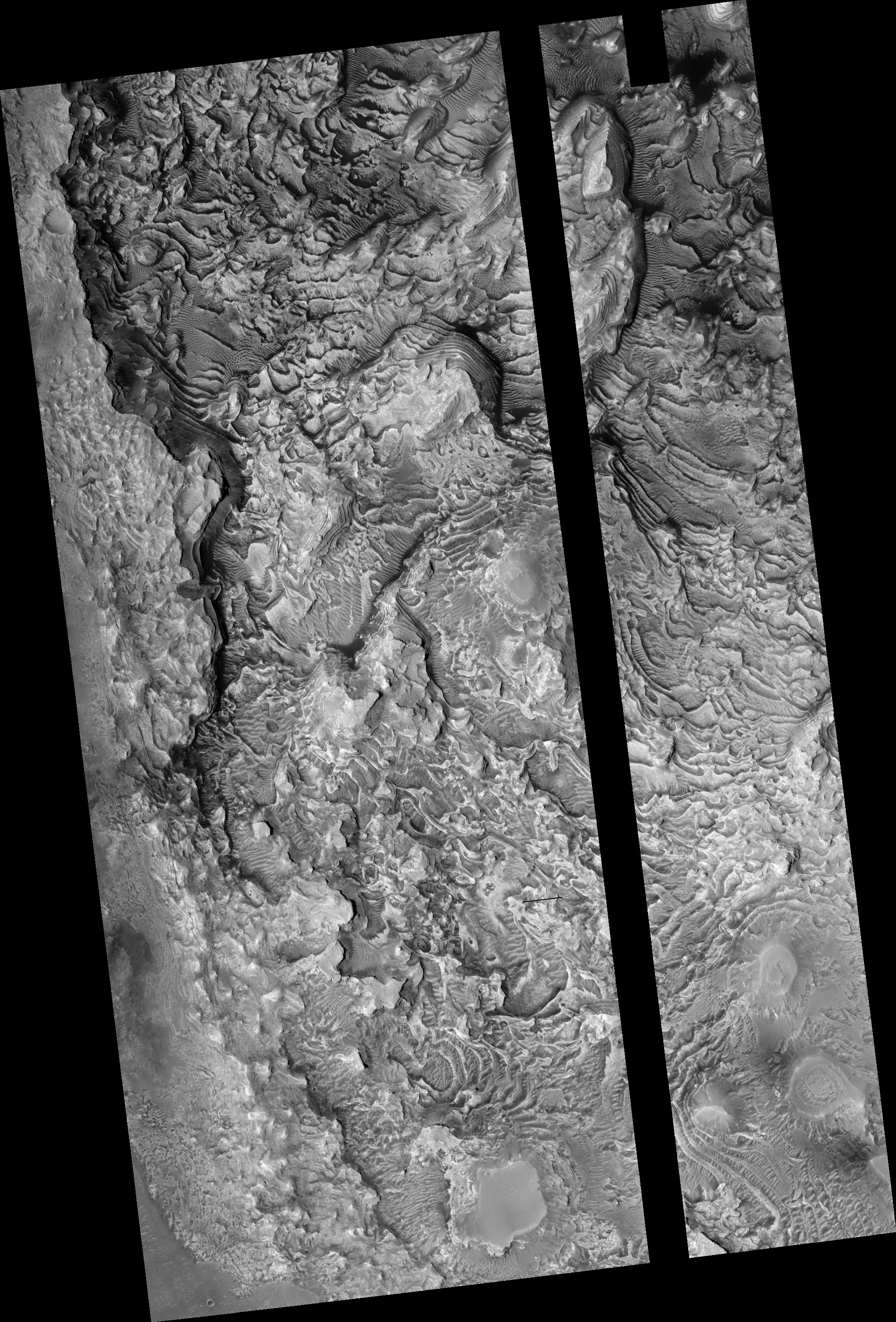
Map Projected Browse Image
Click on image for larger version
This un-named crater in southwestern Arabia Terra contains a treasure!
Layered sediments are the key to the puzzle of Martian history. They tell us about the conditions that existed when the sediments were deposited, and how they changed over time.
This image shows an eroded mesa made up of rhythmically layered bedrock that seems to indicate cyclic deposition. The layers are accentuated by recent dark sand deposits that have accumulated on the benches of the brighter sediments. The plateau is topped by a younger set of layers that appear to be finer and less blocky than the older layers below, suggesting a different depositional environment. Similar layered sediments are found in nearby craters in southwestern Arabia Terra.
This image was requested by a member of the public who is interested in these deposits and will study them further by making a digital elevation model and measuring the thickness of the layers. Everyone is welcome to suggest interesting targets for HiRISE observations!
The map is projected here at a scale of 25 centimeters (9.8 inches) per pixel. (The original image scale is 27.5 centimeters [10.8 inches] per pixel [with 1 x 1 binning]; objects on the order of 82 centimeters [32.3 inches] across are resolved.) North is up.
Background Info:
The University of Arizona, in Tucson, operates HiRISE, which was built by Ball Aerospace & Technologies Corp., in Boulder, Colorado. NASA's Jet Propulsion Laboratory, a division of Caltech in Pasadena, California, manages the Mars Reconnaissance Orbiter Project for NASA's Science Mission Directorate, Washington.
Cataloging Keywords:
| Name | Value | Additional Values |
|---|---|---|
| Target | Mars | |
| System | ||
| Target Type | Planet | |
| Mission | Mars Reconnaissance Orbiter (MRO) | |
| Instrument Host | Mars Reconnaissance Orbiter | |
| Host Type | Orbiter | |
| Instrument | High Resolution Imaging Science Experiment (HiRISE) | |
| Detector | ||
| Extra Keywords | Color, Crater, Map | |
| Acquisition Date | ||
| Release Date | 2021-11-29 | |
| Date in Caption | ||
| Image Credit | NASA/JPL-Caltech/University of Arizona | |
| Source | photojournal.jpl.nasa.gov/catalog/PIA24946 | |
| Identifier | PIA24946 | |