skip to navigation

|
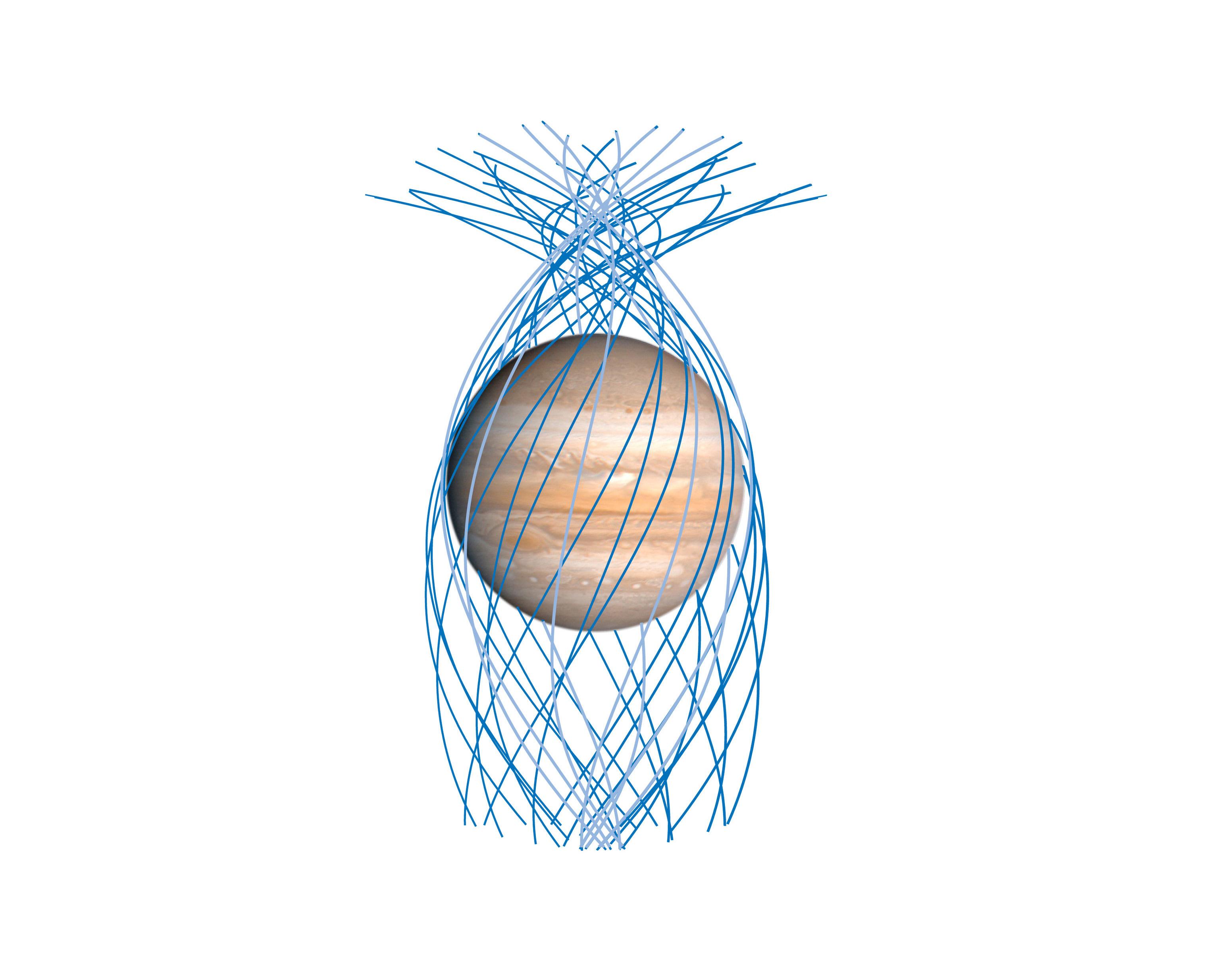
Five Years of Juno Orbits
- Click the image above for a larger view
- Full-Res JPEG (3104 x 2414) (369.7 kB)
- Full-Res TIFF (3104 x 2414) (3.5 MB)
Caption:
This diagram indicates the paths that NASA's Juno spacecraft took relative to Jupiter as the spacecraft repeatedly passed close by the giant planet over the course of five years, beginning in 2016, wrapping it in a dense net of observations ideally suited to mapping its magnetic field. Shown here are segments of the mission's first 32 high-inclination orbits, drawn from that part of each orbit passing very close to Jupiter, equally spaced in longitude. Juno has completed its first global mapping of the magnetic field, sampling it from pole to pole at about 11 degrees of separation in longitude between each orbit.
Background Info:
More information about Juno is at https://www.nasa.gov/juno and https://missionjuno.swri.edu .
Cataloging Keywords:
| Name | Value | Additional Values |
|---|---|---|
| Target | Jupiter | |
| System | ||
| Target Type | Planet | |
| Mission | Juno | |
| Instrument Host | Juno | |
| Host Type | Orbiter | |
| Instrument | ||
| Detector | ||
| Extra Keywords | Color, Magnetosphere | |
| Acquisition Date | ||
| Release Date | 2021-12-17 | |
| Date in Caption | ||
| Image Credit | NASA/JPL-Caltech/SwRI/John E. Connerney | |
| Source | photojournal.jpl.nasa.gov/catalog/PIA25061 | |
| Identifier | PIA25061 | |
