
|
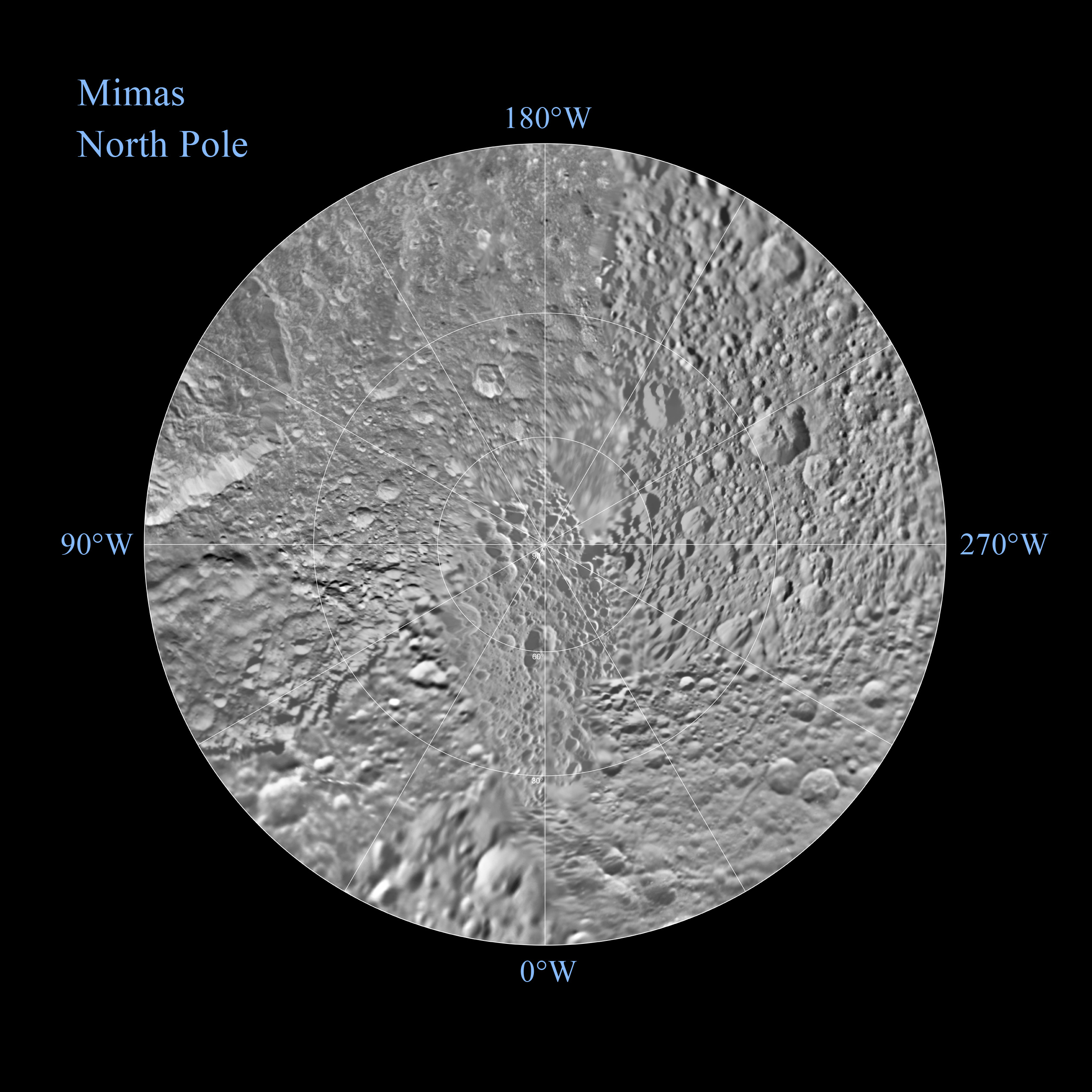
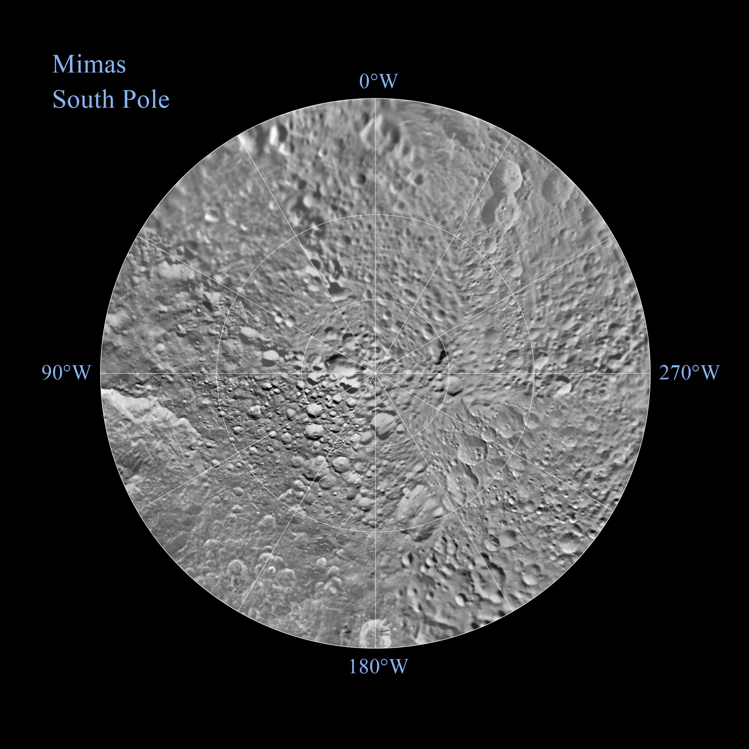
Mimas Polar Maps - June 2012
- Click the image above for a larger view
- Full-Res JPEG (3666 x 3666) (908.0 kB)
- Full-Res TIFF (3666 x 3666) (13.4 MB)
Caption:
|
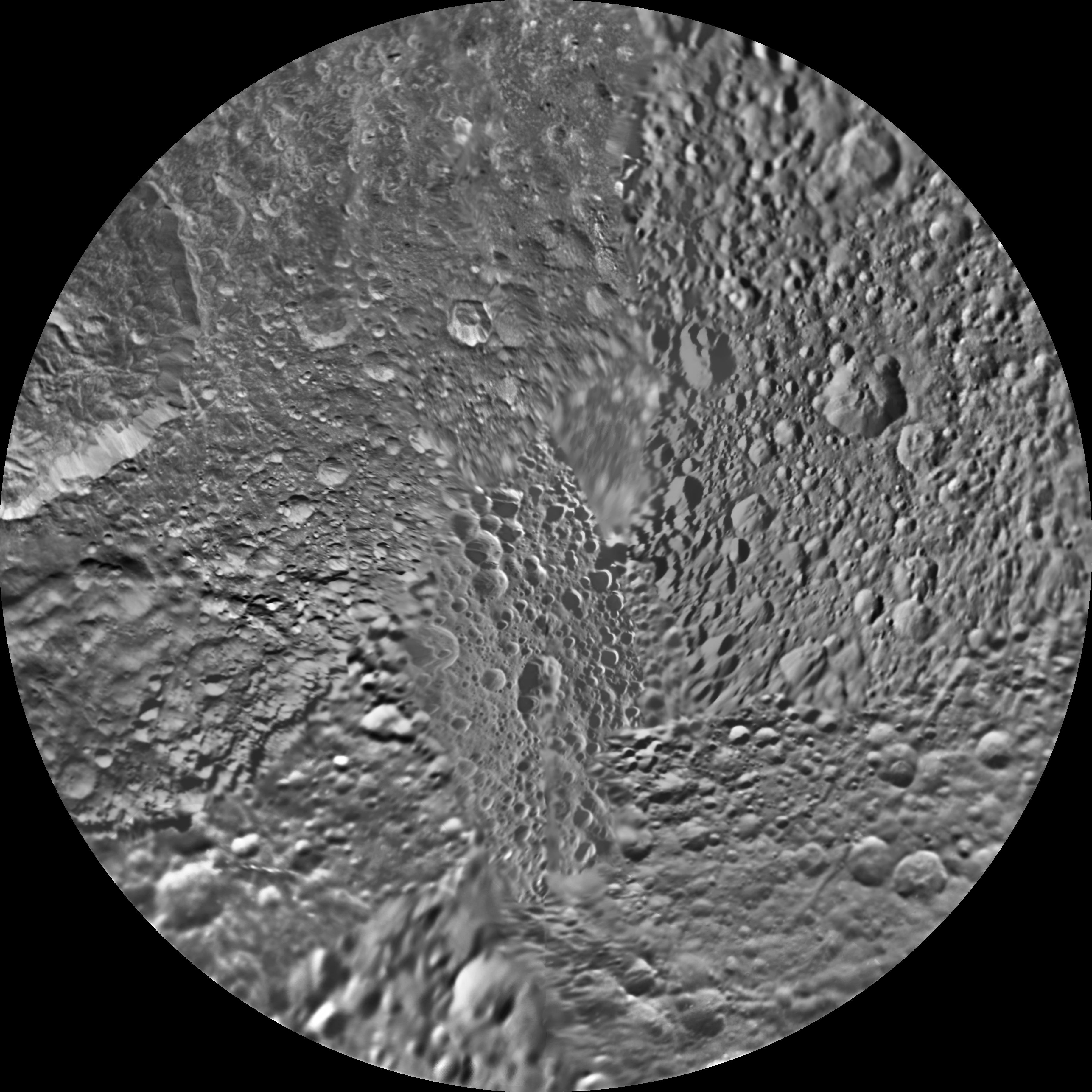
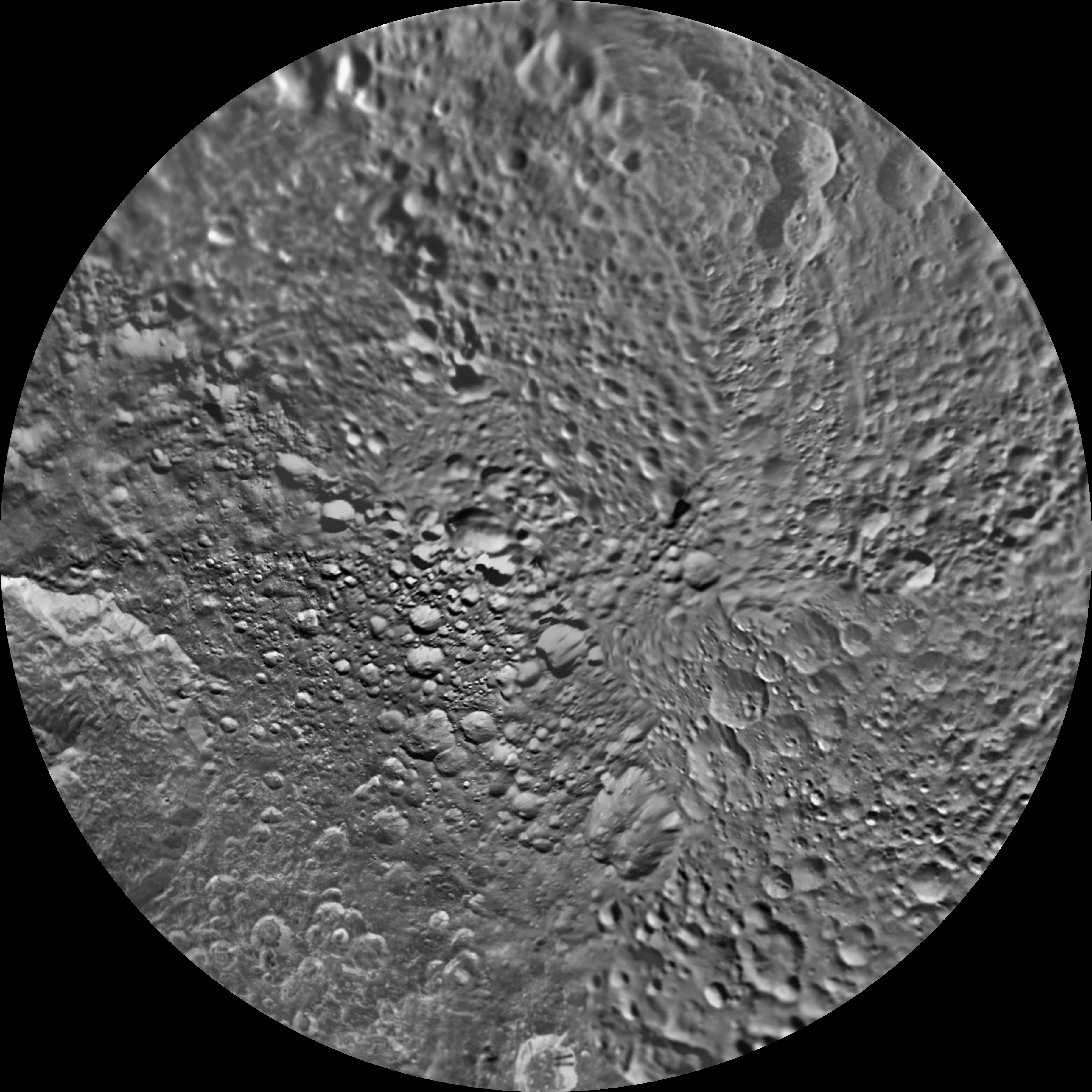
Click on an individual image for larger view
The northern and southern hemispheres of Saturn's moon Mimas are seen in these polar stereographic maps, mosaicked from the best-available Cassini and Voyager images.
Each map is centered on one of the poles, and surface coverage extends to the equator. Grid lines show latitude and longitude in 30-degree increments. The scale in the full-size versions of these maps is 216 meters (710 feet) per pixel. The resolution of the map is 16 pixels per degree. The mean radius of Mimas used for projection of these maps is 198.2 kilometers (123.2 miles).
The northern maps are updates to the versions released in February 2010 (see PIA12781 ). These mosaics contain data from Cassini's June 5, 2012, flyby of Mimas. There were no new data for the southern hemisphere, so the February 2010 versions of the southern maps (see PIA12782 ) are included here unchanged.
Background Info:
The Cassini-Huygens mission is a cooperative project of NASA, the European Space Agency and the Italian Space Agency. The Jet Propulsion Laboratory, a division of the California Institute of Technology in Pasadena, manages the mission for NASA's Science Mission Directorate, Washington, D.C. The Cassini orbiter and its two onboard cameras were designed, developed and assembled at JPL. The imaging operations center is based at the Space Science Institute in Boulder, Colo.
For more information about the Cassini-Huygens mission visit http://saturn.jpl.nasa.gov . The Cassini imaging team homepage is at http://ciclops.org .
Cataloging Keywords:
| Name | Value | Additional Values |
|---|---|---|
| Target | Mimas | |
| System | Saturn | |
| Target Type | Satellite | |
| Mission | Cassini-Huygens | Voyager |
| Instrument Host | Cassini Orbiter | |
| Host Type | Orbiter | Flyby Spacecraft |
| Instrument | Imaging Science Subsystem (ISS) | |
| Detector | ||
| Extra Keywords | Grayscale, Map | |
| Acquisition Date | ||
| Release Date | 2012-08-16 | |
| Date in Caption | 2012-06-05 | |
| Image Credit | NASA/JPL-Caltech/Space Science Institute | |
| Source | photojournal.jpl.nasa.gov/catalog/PIA14927 | |
| Identifier | PIA14927 | |